Browse / Australia / Queensland / Gumlu
Gumlu
Queenslandvillage

Gumlu
Demographic figures from Australian Bureau of Statistics. Overview below cites Wikipedia and may reference a different year.
City facts
Overview
Gumlu is a rural town and coastal locality in the Whitsunday Region, Queensland, Australia. In the 2021 census, the locality of Gumlu had a population of 124 people.
Read more on WikipediaHistory & geography
History
The town takes its name from the Gumlu railway station which was assigned by the Queensland Railways Department on 15 January 1912, and is believed to be a corruption of an Aboriginal word gunyaloo, meaning rock wallaby. It became Molongle Creek State School on 1 December 1914. In 1920 it was renamed Gumlu State School. Houses have boomed in Gumlu lately by about 100% in a year, because of a coal mine opening up.
Geography
Gumlu is located in between Home Hill and Bowen. It is by road from Home Hill and by road from Bowen. The town of Gumlu is located near the eastern boundary of the suburb. The Bruce Highway and the North Coast railway line traverse the locality from east to west passing through the town. There are three railway stops within the locality: * Bobawaba railway station () * Wakala railway station, now abandoned () is the eastern boundary and Wangaratta Creek () is the western boundary. The north-eastern half of the locality is most flat land at sea level with the south-western half rising gradually with unnamed peaks of about 300 metres.
Excerpted from the corresponding Wikipedia article (CC BY-SA).
Geography
Coordinates & boundaries from the US Census TIGER/Line shapefiles.
Climate
10-year averages from ERA5 reanalysis (Open-Meteo).
Air quality
Walkability
Amenities nearby
Wildlife & biodiversity
Most-observed species
- brolgaGrus rubicunda (Perry, 1810) · Aves117
- Black KiteMilvus migrans (Boddaert, 1783) · Aves114
- Black-necked StorkEphippiorhynchus asiaticus (Latham, 1790) · Aves92
- Australian IbisThreskiornis molucca (Cuvier, 1829) · Aves89
- Magpie-larkGrallina cyanoleuca (Latham, 1802) · Aves85
- Whistling KiteHaliastur sphenurus (Vieillot, 1818) · Aves78
- Masked LapwingVanellus miles (Boddaert, 1783) · Aves78
- Australian MagpieGymnorhina tibicen (Latham, 1802) · Aves73
Citizen-science & research observations from the Global Biodiversity Information Facility (GBIF).
Earthquake history
Most recent
- M 4.3 — 2011-09-1744 km NNW of Collinsville, Australia
- M 4 — 2011-04-1645 km NNW of Collinsville, Australia
- M 5 — 2011-04-16Queensland, Australia
Events from the USGS Earthquake Catalog (global) (FDSN Event Web Service).
Photos
Sights & places nearby
Notable people from here
Nearby places in Queensland
- Mount Buckley32.4 mi away
- Miowera Homestead42.5 mi away
- Heronvale42.9 mi away
- Roma Peak Homestead45.5 mi away
- Collinsville47.7 mi away · pop. 1,301
- Scottville48.7 mi away · pop. 268
- Springlands Homestead53.1 mi away
- Woodstock58.5 mi away
- Dittmer61 mi away · pop. 52
- Shannonvale Homestead62.7 mi away
- Cattle Vale Homestead63.4 mi away
- Havilah Homestead63.9 mi away
Geography & sun
Elevation, sunrise/sunset and daylight from Open-Meteo. Solar climatology from NASA POWER.
Nearby airports
Public attention
Pageview totals from the Wikimedia Pageviews API.
Books about this place
Recent natural events nearby
Ground air-quality sensors
Recently spotted species
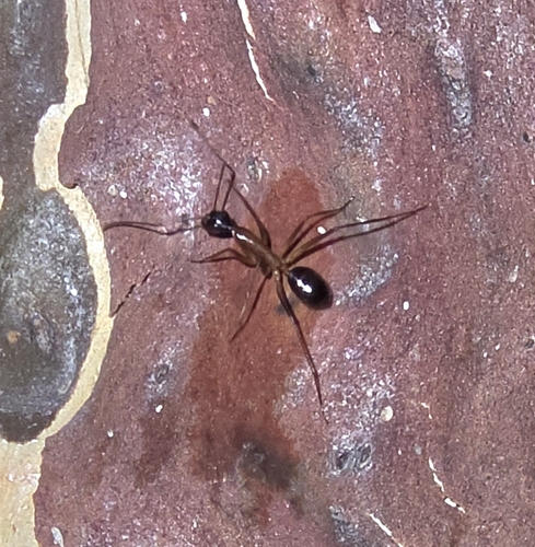
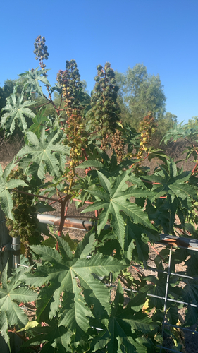
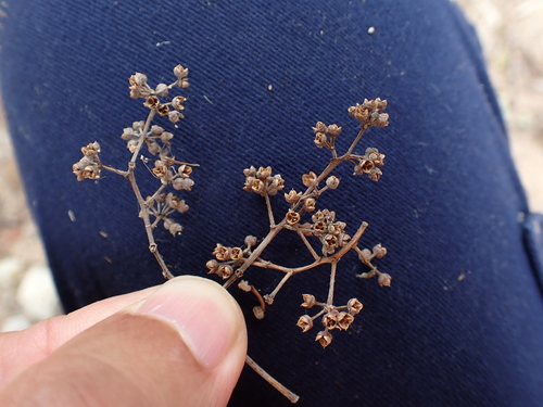
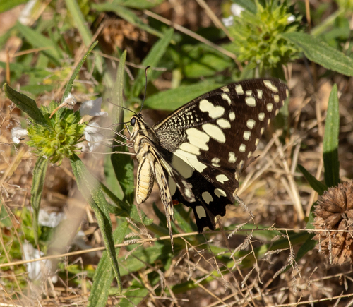
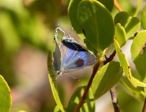
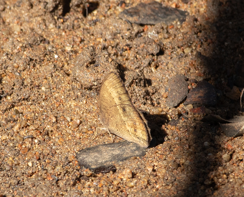
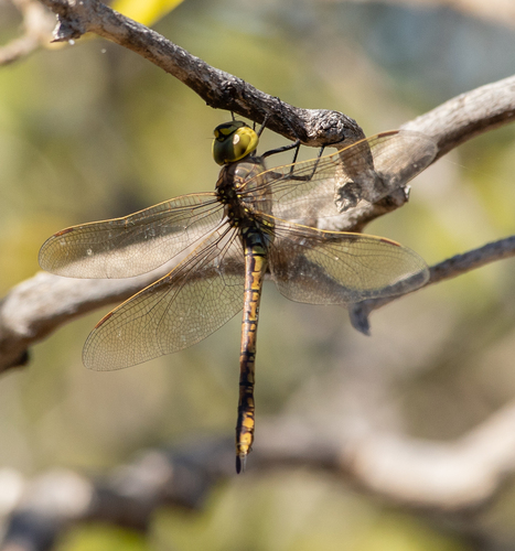
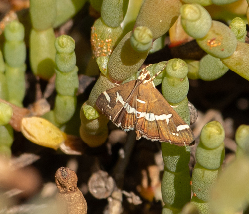
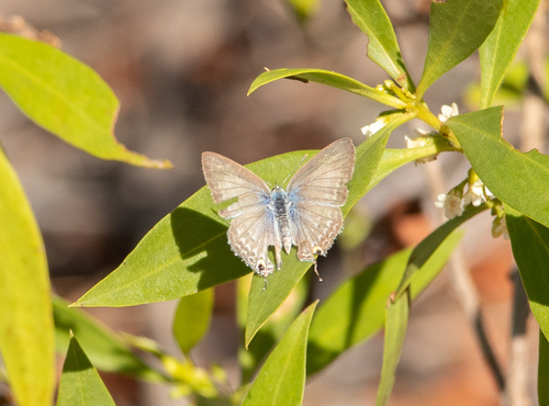
Research-grade observations from iNaturalist (within ~15 mi).
Events
Gallery
Official Identifiers
ABS — Australian Bureau of Statistics
- ASGS 2021
- SAL31268
- Population (Wikidata)
- 124
- Wikidata
- Q5618154
ASGS 2021 ID via Wikidata P10112
Sources
- • Wikipedia
- • Open-Meteo (ERA5 reanalysis)
- • Wikidata
- • USGS Earthquake Catalog (global feed)
- • GBIF (Global Biodiversity Information Facility)
- • iNaturalist
- • Open-Meteo / sunrise-sunset.org
- • Wikipedia Pageviews API
- • ABS — Australian Bureau of Statistics — ASGS 2021 ID via Wikidata P10112