Browse / Australia / Western Australia / Halls Creek
Halls Creek
Western Australiavillage

Halls Creek
Total population
1,605
Demographic figures from Australian Bureau of Statistics. Overview below cites Wikipedia and may reference a different year.
City facts
Facts from Wikidata (CC0).
Overview
Halls Creek is a town situated in the east Kimberley region of Western Australia. It is located between the towns of Fitzroy Crossing and Turkey Creek (Warmun) on the Great Northern Highway. It is the only sizable town for 600 kilometres (370 mi) on the Highway.
Read more on WikipediaHistory & geography
History
The land now known as Halls Creek has been occupied for thousands of years by Aboriginal peoples. The land is crossed by songlines and trading paths stretching from the coasts to the deserts, some passing near the modern town. The story of that long occupation remains alive today and it is revealed in the culture of the Jaru, Kija, Kukatja, Walmajarri, Gooniyandi and other Indigenous people who live in Halls Creek Shire. Late in the 19th century, Europeans arrived, searching for land for cattle and sheep, as well as minerals. On Christmas Day 1885, prospector Charlie Hall found a gold nugget at a site that would eventually be named after him. News of the discovery drew more than 15,000 people to what is now Old Halls Creek to try their luck. It proved a barren land for these people, and some graves can be found in Old Town's small cemetery. The gold rush lasted less than three months, and Halls Creek became a trading centre for cattle stations, Aboriginal communities and miners who stayed there. The post office with its telegraph line that terminated here, the police station, government office, racecourse and stores gave the town a purpose. In 1918 the Australian Inland Mission built a hospital and the old town continued, with few inhabitants and little water. In 1948, an airfield was built near the site of the present town, and over the next decade, the old town moved nearer to this new site. Except for the police station, which was finally relocated in 1961, the old town was abandoned by 1954. The nearby settlements known as Chinaman's Garden (Yarrunga) and Wangu Outstation (Flora Valley Station) were funded by the federal government as outstations during the 1980s.
Excerpted from the corresponding Wikipedia article (CC BY-SA).
Geography
Coordinates & boundaries from the US Census TIGER/Line shapefiles.
Climate
Air quality
Walkability
Amenities nearby
Wildlife & biodiversity
Earthquake history
Photos
Sights & places nearby
Notable people from here
Geography & sun
Nearby airports
Public attention
Books about this place
Recent natural events nearby
Ground air-quality sensors
Recently spotted species
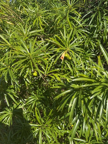
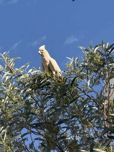
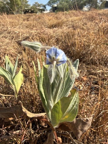
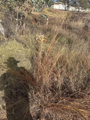
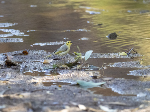
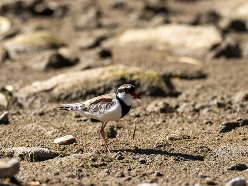
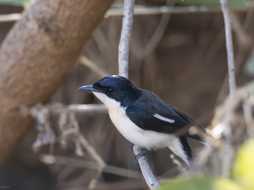
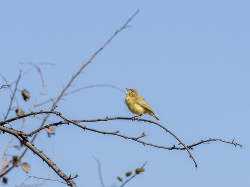
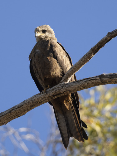
Research-grade observations from iNaturalist (within ~15 mi).
Events
Gallery
Sources
- • Wikipedia
- • Wikidata
- • iNaturalist