Browse / Australia / Tasmania / Hamilton
Hamilton
Tasmaniavillage

Hamilton
Demographic figures from Australian Bureau of Statistics. Overview below cites Wikipedia and may reference a different year.
City facts
Facts from Wikidata (CC0).
Overview
Hamilton is a rural locality in the local government area (LGA) of Central Highlands in the Central LGA region of Tasmania. The locality is about 73 kilometres (45 mi) north-west of the city of Hobart. The 2016 census recorded a population of 241 for the suburb of Hamilton.
Read more on WikipediaHistory & geography
History
Hamilton was gazetted as a locality in 1959. Governor Lachlan Macquarie named the locality "Sorell Plains", and it became locally known as "Macquarie" and "Lower Clyde". Governor George Arthur finalised a name for the locality and this was announced in 1826. Hamilton was named after William Henry Hamilton, a wealthy free settler who had arrived in Van Diemen's Land in April 1824. Hamilton Post Office opened on 1 June 1832. Hamilton was once a bustling frontier town that contained many inns and several working breweries. It contains a few small shops and buildings, such as the court house, many of them dating back to convict times.
Geography
The River Derwent (Meadowbank Lake) forms the south-western boundary. The Clyde River flows through from north to south after forming a small part of the northern boundary. Hamilton has an oceanic climate (Köppen: Cfb), with mild, dry summers and cool, somewhat damp winters. Average maxima vary from in January to in July while average minima fluctuate between in January and in July. Due to its inland location and being downwind of the Central Highlands, midsummer freezes have been recorded, while foehn winds occur (primarily in summer). Mean annual precipitation is quite low, spread on 148.4 days, and is concentrated in winter. Snow is not uncommon. Extreme temperatures have ranged from on 24 June 2013 to on 11 January 2010. Climate data are sourced from Ouse (Fire Station), a town southeast of Hamilton.
Excerpted from the corresponding Wikipedia article (CC BY-SA).
Geography
Coordinates & boundaries from the US Census TIGER/Line shapefiles.
Climate
Air quality
Walkability
Amenities nearby
Wildlife & biodiversity
Most-observed species
- Forest RavenCorvus tasmanicus Mathews, 1912 · Aves888
- Gray FantailRhipidura albiscapa Gould, 1840 · Aves789
- Superb FairywrenMalurus cyaneus (Ellis, 1782) · Aves743
- Sulphur-crested CockatooCacatua galerita (Latham, 1790) · Aves654
- Green RosellaPlatycercus caledonicus (Gmelin, 1788) · Aves555
- Black CurrawongStrepera fuliginosa (Gould, 1837) · Aves539
- Yellow-tailed black-cockatooZanda funerea (Shaw, 1794) · Aves440
- Tasmanian ScrubwrenSericornis humilis Gould, 1838 · Aves411
Citizen-science & research observations from the Global Biodiversity Information Facility (GBIF).
Earthquake history
Most recent
- M 4.7 — 2002-06-1546 km NNE of Bagdad, Australia
Events from the USGS Earthquake Catalog (global) (FDSN Event Web Service).
Photos
Sights & places nearby
Notable people from here


People born within ~10 km, from Wikidata (CC0). Click any name for their Wikipedia article.
Nearby places in Tasmania
Geography & sun
Elevation, sunrise/sunset and daylight from Open-Meteo. Solar climatology from NASA POWER.
Nearby airports
Public attention
Pageview totals from the Wikimedia Pageviews API.
Books about Hamilton


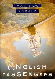

Search results from Open Library.
Recent natural events nearby
Ground air-quality sensors
Recently spotted species
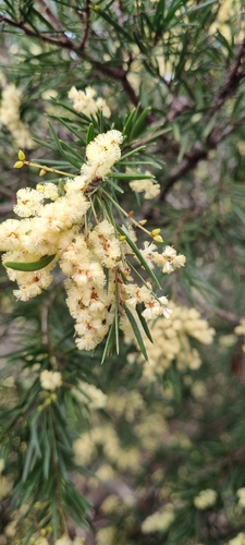
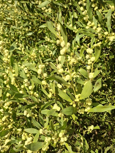
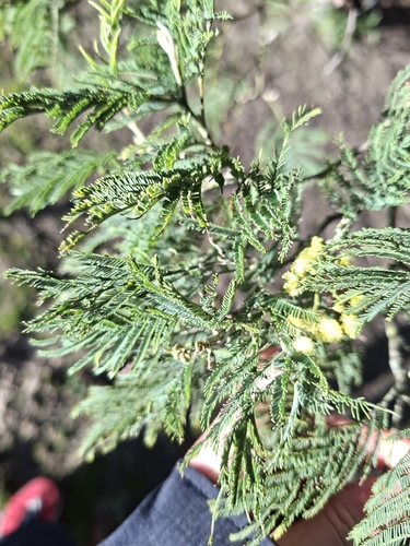
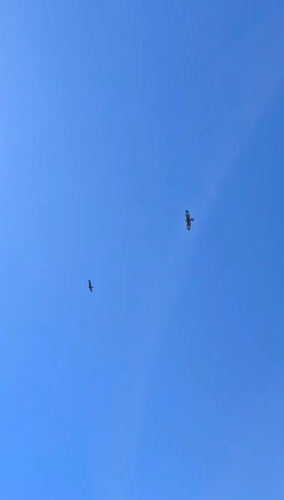
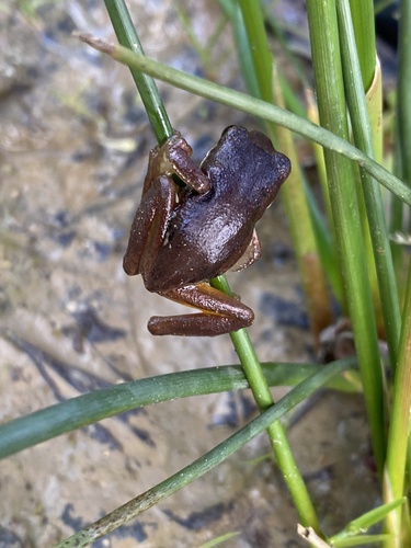
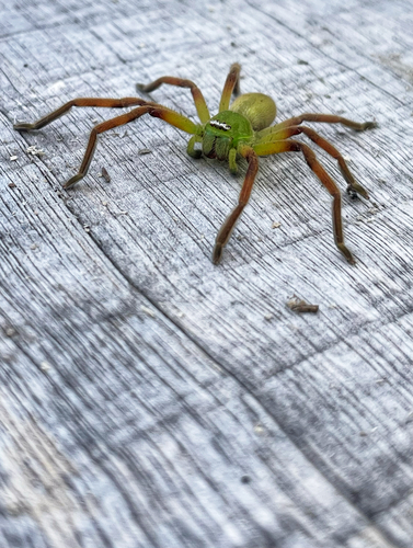
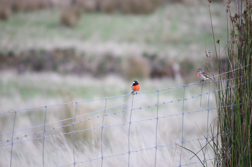
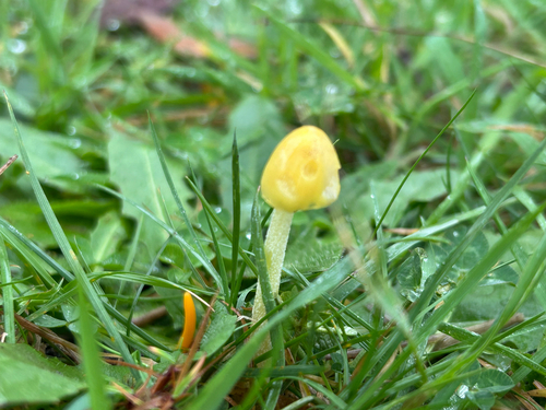
Research-grade observations from iNaturalist (within ~15 mi).
Events
Gallery
Sources
- • Wikipedia
- • Wikidata
- • USGS Earthquake Catalog (global feed)
- • GBIF (Global Biodiversity Information Facility)
- • iNaturalist
- • Open-Meteo / sunrise-sunset.org
- • Wikipedia Pageviews API
- • Open Library