Browse / Australia / South Australia / Haslam
Haslam
South Australiahamlet
Total population
30
Demographic figures from Australian Bureau of Statistics. Overview below cites Wikipedia and may reference a different year.
City facts
Overview
Haslam is a town and a locality in the Australian state of South Australia located on the Eyre Peninsula on the coastline of Streaky Bay about 487 kilometres (303 mi) north-west of the state capital of Adelaide and about 32 kilometres (20 mi) north of the municipal seat of Streaky Bay.
Read more on WikipediaHistory & geography
History
Haslam was established in 1893 as a deep sea port reportedly under the name of Port Carawa Haslam had a post office (originally a receiving office under the name Port Haslam) from 1913. The area is now served by a community postal agency. The long town jetty was originally built in 1912 to allow ships access to the coast. It was reduced in length by half in 1972. The Haslam Township School opened in 1920, before having its name changed to "Maildaburra" in 1921. A new school was built in 1930, and was renamed "Haslam". The locality's boundaries which were created on 12 April 2001 includes the government town of Haslam.
Excerpted from the corresponding Wikipedia article (CC BY-SA).
Geography
Coordinates & boundaries from the US Census TIGER/Line shapefiles.
Climate
Air quality
Walkability
Amenities nearby
Wildlife & biodiversity
Most-observed species
- Singing HoneyeaterGavicalis virescens (Vieillot, 1817) · Aves34
- Yellow-throated MinerManorina flavigula (Gould, 1840) · Aves32
- European StarlingSturnus vulgaris Linnaeus, 1758 · Aves25
- WeebillSmicrornis brevirostris (Gould, 1838) · Aves19
- White-browed ScrubwrenSericornis frontalis (Vigors & Horsfield, 1827) · Aves19
- Silver-eyeZosterops lateralis (Latham, 1802) · Aves19
- Gray ButcherbirdCracticus torquatus (Latham, 1802) · Aves18
- Spiny-cheeked HoneyeaterAcanthagenys rufogularis Gould, 1838 · Aves17
Citizen-science & research observations from the Global Biodiversity Information Facility (GBIF).
Earthquake history
Events from the USGS Earthquake Catalog (global) (FDSN Event Web Service).
Photos
Sights & places nearby
Notable people from here
Geography & sun
Elevation, sunrise/sunset and daylight from Open-Meteo. Solar climatology from NASA POWER.
Nearby airports
Public attention
Pageview totals from the Wikimedia Pageviews API.
Books about Haslam
Search results from Open Library.
Recent natural events nearby
Ground air-quality sensors
Recently spotted species
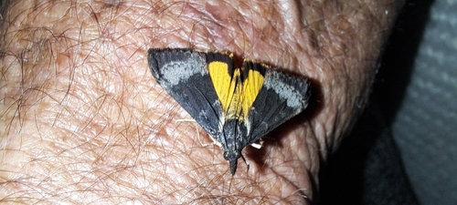
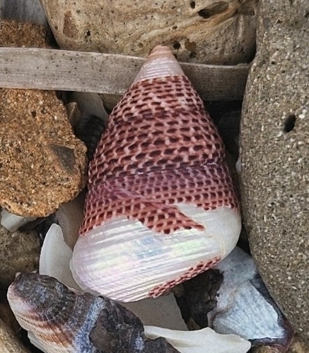
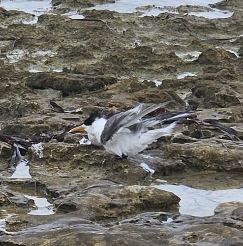
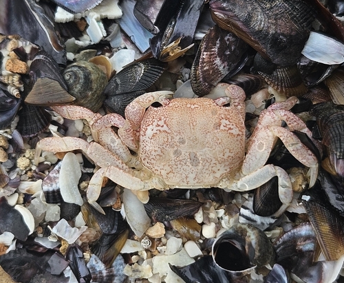
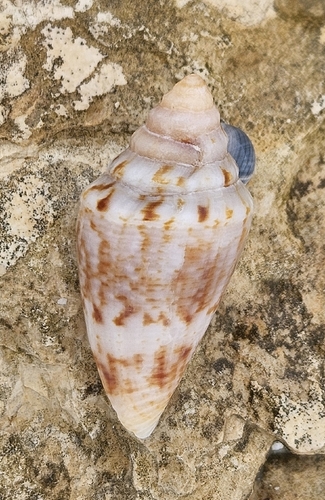
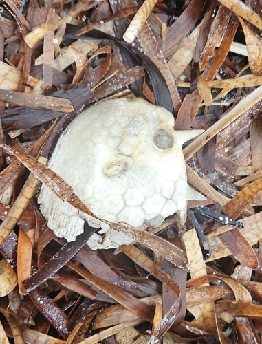
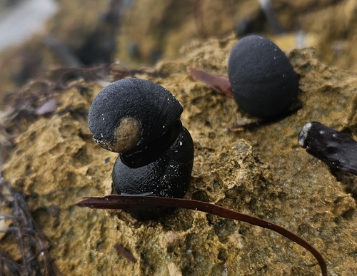
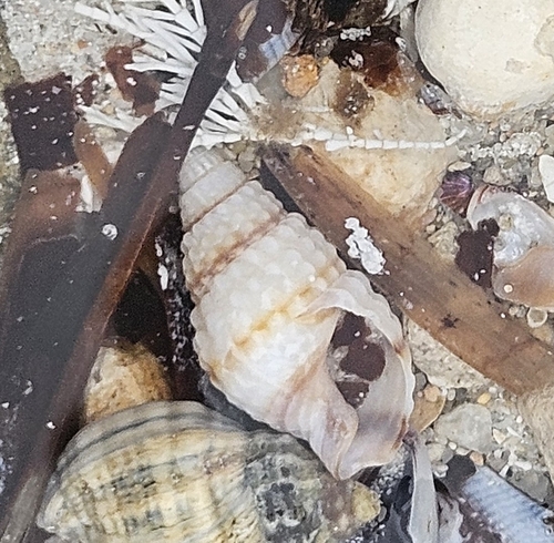
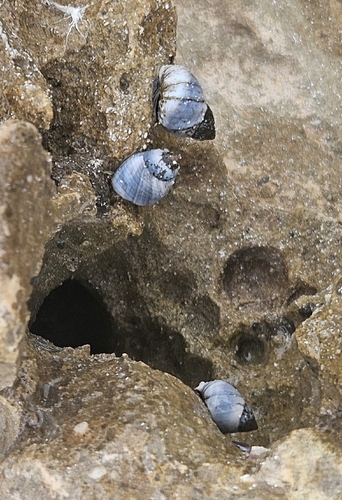
Research-grade observations from iNaturalist (within ~15 mi).
Events
Gallery
Geotagged photos within ~6 miles of Haslam, from Wikimedia Commons contributors.

Photos via Wikimedia Commons — see each image page for license & attribution.
Official Identifiers
ABS — Australian Bureau of Statistics
- ASGS 2021
- SAL40570
- Population (Wikidata)
- 59
- Wikidata
- Q2199406
ASGS 2021 ID via Wikidata P10112
Sources
- • Wikipedia
- • Wikimedia Commons
- • Wikidata
- • USGS Earthquake Catalog (global feed)
- • GBIF (Global Biodiversity Information Facility)
- • iNaturalist
- • Open-Meteo / sunrise-sunset.org
- • Wikipedia Pageviews API
- • Open Library
- • ABS — Australian Bureau of Statistics — ASGS 2021 ID via Wikidata P10112