Browse / Australia / Queensland / Helidon
Helidon
Queenslandvillage

Helidon
Total population
830
Demographic figures from Australian Bureau of Statistics. Overview below cites Wikipedia and may reference a different year.
City facts
Overview
Helidon is a rural town and locality in the Lockyer Valley Region, Queensland, Australia. In the 2021 census, the locality of Helidon had a population of 1,130 people.
Read more on WikipediaHistory & geography
History
The Helidon district is called by Aboriginal inhabitants "Yabarba", the name of the Curriejung, and the nearby spring is known as "Woonar-rajimmi", the place "where the clouds fell down!" The name Helidon derives from a pastoral run name established in 1841 by Richard Jones (1786–1852), a merchant and pastoralist. He was later (1861), appointed magistrate for the district. Richard Kettle (born in Whissendine, England in 1838), together with his family, were amongst the principle farming families to establish Helidon. Following a failed attempt to lease land in Tent Hill in 1871, Richard Kettle was granted 150 Lockyer acres, in 1873, improved to a Homestead in 1878, and a further 80 acres in 1882. Helidon Post Office opened on 1 August 1866. In 1874 settlers in the Helidon District wrote to the Board of General Education, which from 1860 was authorised to establish and administer primary schools, requesting that a school be established in Helidon. The Helidon State School opened on 11 May 1874 with 8 pupils. In 1882, the school had 24 students. Helidon State School was only the second school in the Lockyer Valley district and was the 52nd primary school opened in Queensland. St John the Baptist Anglican Church was dedicated on 9 September 1923 by Archbishop Gerald Sharp, 40 years after it was first proposed to establish a church. It was constructed with volunteer labour. It closed circa 1989. In December 1924, a branch of the Country Women's Association was formed in nearby Gatton, and had a membership of 28 by 1925. The Helidon Branch was formed in 1933. The branch was active but in more recent times struggled with diminishing membership and in 2013 was under threat of closure. The branch closed and the closest branch to Helidon is now the Upper Lockyer/Withcott…
Geography
Helidon is located on the Warrego Highway, west of the state capital, Brisbane, and east of Toowoomba. Parts of the hilly, undeveloped north of Helidon have been protected within Lockyer National Park.
Excerpted from the corresponding Wikipedia article (CC BY-SA).
Geography
Coordinates & boundaries from the US Census TIGER/Line shapefiles.
Climate
Air quality
Walkability
Amenities nearby
Wildlife & biodiversity
Earthquake history
Photos
Sights & places nearby
Notable people from here

People born within ~10 km, from Wikidata (CC0). Click any name for their Wikipedia article.
Nearby places in Queensland
- Grantham5.1 mi away · pop. 202
- Winwill6.6 mi away
- Tenthill8 mi away
- Cabarlah11.8 mi away · pop. 720
- Hampton13.8 mi away · pop. 442
- Cawdor14 mi away · pop. 420
- Forest Hill14.5 mi away · pop. 418
- Gowrie Junction14.8 mi away
- Meringandan15.3 mi away · pop. 530
- Glencoe16.9 mi away · pop. 304
- Glenore Grove17.5 mi away
- Lilyvale17.5 mi away · pop. 58
Geography & sun
Elevation, sunrise/sunset and daylight from Open-Meteo. Solar climatology from NASA POWER.
Nearby airports
Public attention
Pageview totals from the Wikimedia Pageviews API.
Books about Helidon
Search results from Open Library.
Recent natural events nearby
Ground air-quality sensors
Recently spotted species
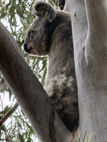
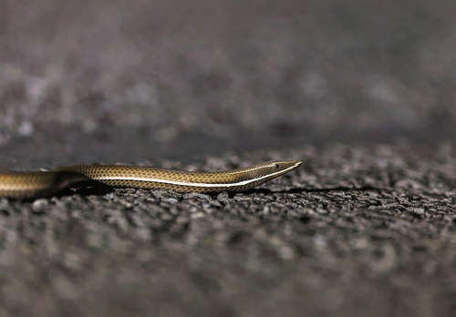
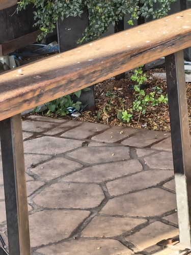
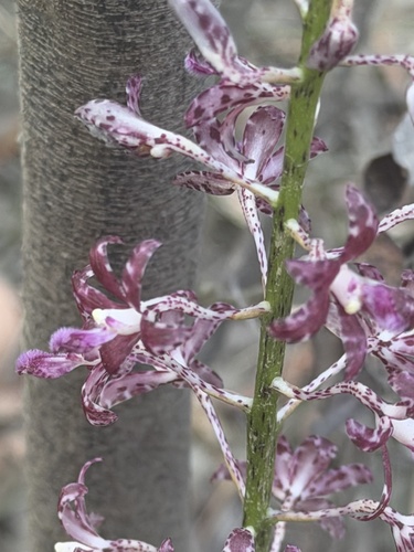
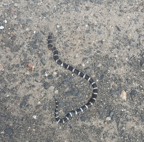
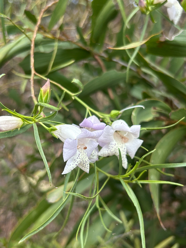
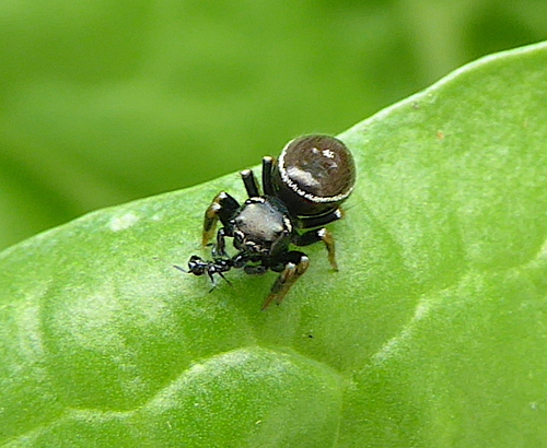
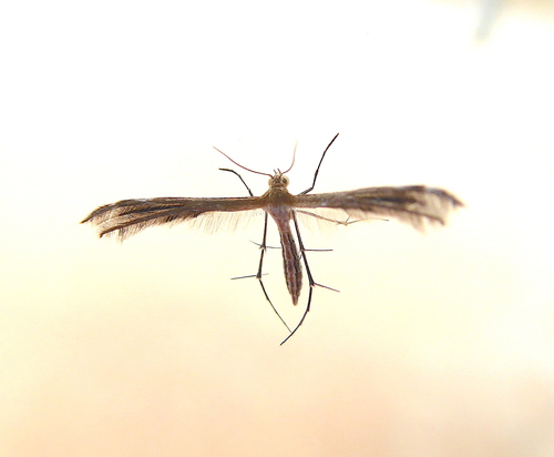
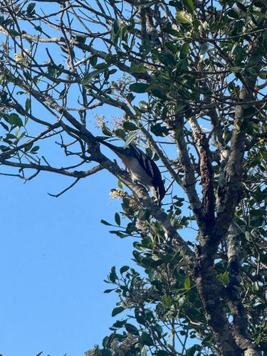
Research-grade observations from iNaturalist (within ~15 mi).
Events
Gallery
Sources
- • Wikipedia
- • Wikidata
- • iNaturalist
- • Open-Meteo / sunrise-sunset.org
- • Wikipedia Pageviews API
- • Open Library