Browse / Australia / Northern Territory / Hermannsburg
Hermannsburg
Northern Territoryvillage

Hermannsburg
Total population
551
Air quality index
Demographic figures from Australian Bureau of Statistics. Overview below cites Wikipedia and may reference a different year.
City facts
Facts from Wikidata (CC0).
Overview
Hermannsburg, also known as Ntaria, is an Aboriginal community in Ljirapinta Ward of the MacDonnell Shire in the Northern Territory of Australia, 125 kilometres (78 mi); west southwest of Alice Springs, on the Finke River, in the traditional lands of the Western Arrarnta people.
Read more on WikipediaHistory & geography
History
Hermannsburg was established on 4 June 1877 at a sacred site known as Ntaria, which was associated with the Aranda ratapa dreaming. It was conceived as an Aboriginal mission by two Lutheran missionaries, Hermann Kempe (from Dauban, near Dresden) and Wilhelm F. Schwarz (from Württemberg They arrived with 37 horses, 20 cattle and nearly 2000 sheep, A third missionary, Louis Schulze (from Saxony The first Aboriginal baptisms took place and in 1887 as many as 20 young people were baptised. Kempe endured trouble from the native police, who would bribe some Aboriginal men to kill their fellow tribesmen, sometimes offering them sex with the women as a reward. Kempe assisted Francis Gillen in bringing the notorious Constable Willshire to trial in Port Augusta. The settlement was continued by lay workers until Carl Strehlow arrived in October 1894 (or 1895?) with his wife, Frieda Strehlow (née Kaysser). Frieda was born in 1875, and had met Strehlow when he was training to be a missionary in 1892. After marrying in Adelaide, the couple travelled by horse and buggy to Hermannsburg. Many of the locals could by this time speak German, He was particularly keen to make sure that "half-caste" children had no contact with camp life. Hermannsburg was to be taken away from the Lutherans and "serve as a reserve for the remnants of the southern central tribes where they can, under proper and competent control, be trained to habits of industry". However, when the Administrator of the Northern Territory, John A. Gilruth, came down from Darwin in 1913 to see whether these negative reports were true, he gave Strehlow his support. The Strehlows finally left on 22 October 1922 when Strehlow contracted dropsy. He died the next day at Horseshoe Bend. Albrecht also developed various other…
Geography
Hermannsburg lies on the Finke River within the rolling hills of the MacDonnell Ranges in the southern Central Australia region of the Northern Territory. It is within the jurisdiction of the MacDonnell Regional Council.
Excerpted from the corresponding Wikipedia article (CC BY-SA).
Geography
Coordinates & boundaries from the US Census TIGER/Line shapefiles.
Climate
Air quality
Current readings from Open-Meteo Air Quality API (Copernicus CAMS European reanalysis).
Walkability
Amenities nearby
Wildlife & biodiversity
Most-observed species
- Willie-wagtailRhipidura leucophrys (Latham, 1802) · Aves79
- BudgerigarMelopsittacus undulatus (Shaw, 1805) · Aves67
- Zebra FinchTaeniopygia guttata (Vieillot, 1817) · Aves64
- White-plumed HoneyeaterPtilotula penicillata (Gould, 1837) · Aves55
- Singing HoneyeaterGavicalis virescens (Vieillot, 1817) · Aves54
- Australian RingneckBarnardius zonarius (Shaw, 1805) · Aves53
- Crested PigeonOcyphaps lophotes (Temminck, 1822) · Aves53
- Rufous WhistlerPachycephala rufiventris (Latham, 1802) · Aves48
Citizen-science & research observations from the Global Biodiversity Information Facility (GBIF).
Earthquake history
Events from the USGS Earthquake Catalog (global) (FDSN Event Web Service).
Photos
Sights & places nearby
Notable people from here


People born within ~10 km, from Wikidata (CC0). Click any name for their Wikipedia article.
Nearby places in Northern Territory
Geography & sun
Elevation, sunrise/sunset and daylight from Open-Meteo. Solar climatology from NASA POWER.
Nearby airports
Public attention
Pageview totals from the Wikimedia Pageviews API.
Books about Hermannsburg

Search results from Open Library.
Recent natural events nearby
Ground air-quality sensors
Recently spotted species
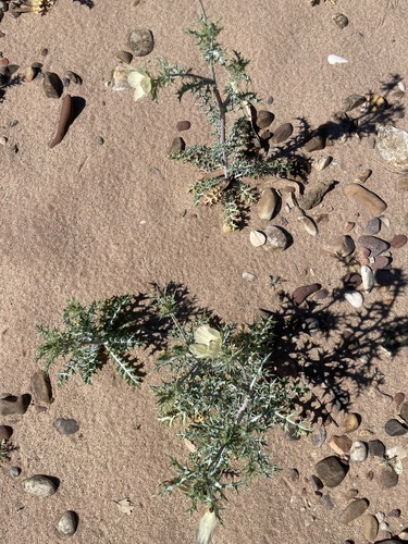
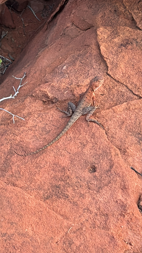
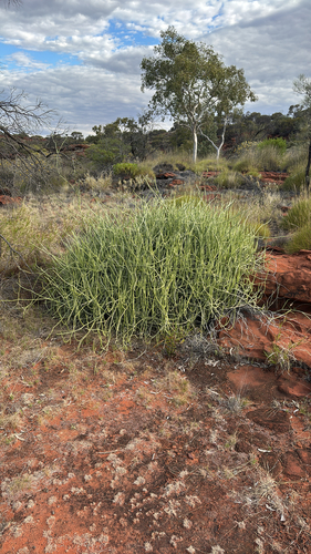
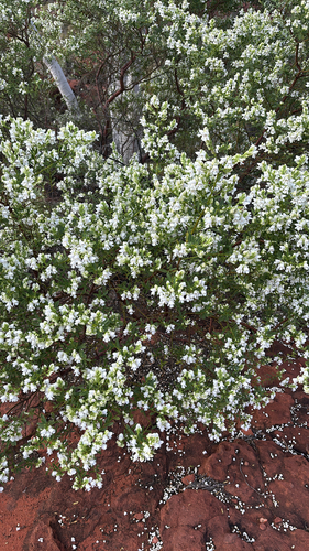
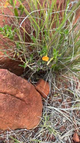
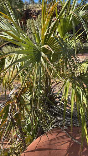
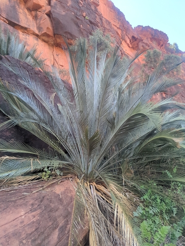
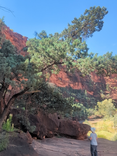
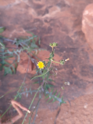
Research-grade observations from iNaturalist (within ~15 mi).
Events
Gallery
Sources
- • Wikipedia
- • Wikidata
- • Open-Meteo Air Quality (CAMS)
- • USGS Earthquake Catalog (global feed)
- • GBIF (Global Biodiversity Information Facility)
- • iNaturalist
- • Open-Meteo / sunrise-sunset.org
- • Wikipedia Pageviews API
- • Open Library