Browse / Australia / New South Wales / Hillgrove
Hillgrove
New South Walesvillage

Hillgrove
Total population
176
Demographic figures from Australian Bureau of Statistics. Overview below cites Wikipedia and may reference a different year.
City facts
Overview
Hillgrove is a Northern Tablelands historic goldmining town, now a village with a population of about 95. The village lies about 30 km east of Armidale and 5 km south of the Waterfall Way, at an elevation of 1,000 m on a granite plateau above Bakers Creek, near the Oxley Wild Rivers National Park. It lies in Sandon County, part of the Armidale Regional Council local government area.
Read more on WikipediaHistory & geography
History
The town was first known as Eleanora Township, named after the antimony mine that for nearly a decade after 1876 was the sole reason for its existence. The name Hillgrove was given to the town in 1888. Although some alluvial gold was discovered in Bakers Creek gorge as early as 1857, it was not until antimony was discovered that important mining was undertaken in the late 1870s. The main shaft in Bakers Creek was sunk 610 metres below the surface. Tramways operated by a steam-powered winding engine pulled the trams up and down the precipitous incline to the Bakers Creek mines. The town of Hillgrove was established in 1884 and grew rapidly during the 1880s and 1890s due to the expanding production of the mining companies. Hillgrove Post Office opened on 1 June 1884 and closed in 1979. A Hillgrove West Post Office opened in 1890, was renamed Metz in 1896 and closed in 1922. At its peak in about 1898, the town's population was close to 3,000, similar to that of Armidale. By 1933 there were just 241 residents left. Goldmining briefly resumed between 1937 and 1940. However, it was the Damned If I Know Mine, a small operation which extracted tungsten ore between the late 1930s and the late 1950s, which turned a large profit, particularly during World War II when tungsten's steel-strengthening capacity was in great demand. Antimony mining came into its own in 1969 and was mined along with gold, thus sustaining the village. In March 2004, the Hillgrove Gold Project near Armidale was purchased by Straits Resources, who made development plans for the area. The mine closed for months in 2009, due to global price fluctuations. It was later owned by Meridian Capital of Hong Kong, but in December 2015 it closed again, largely due to a fall in antimony prices from $8,000 to…
Excerpted from the corresponding Wikipedia article (CC BY-SA).
Geography
Coordinates & boundaries from the US Census TIGER/Line shapefiles.
Climate
Air quality
Walkability
Amenities nearby
Wildlife & biodiversity
Most-observed species
- Greater GliderPetauroides volans (Kerr, 1792) · Mammalia1,259
- Australian MagpieGymnorhina tibicen (Latham, 1802) · Aves905
- Gray FantailRhipidura albiscapa Gould, 1840 · Aves724
- Crimson RosellaPlatycercus elegans (Gmelin, 1788) · Aves715
- White-throated TreecreeperCormobates leucophaea (Latham, 1802) · Aves711
- Superb FairywrenMalurus cyaneus (Ellis, 1782) · Aves663
- Gray ShrikethrushColluricincla harmonica (Latham, 1802) · Aves589
- Pied CurrawongStrepera graculina (Shaw, 1790) · Aves569
Citizen-science & research observations from the Global Biodiversity Information Facility (GBIF).
Earthquake history
Events from the USGS Earthquake Catalog (global) (FDSN Event Web Service).
Photos
Sights & places nearby
Notable people from here
People born within ~10 km, from Wikidata (CC0). Click any name for their Wikipedia article.
Nearby places in New South Wales
- Jeogla Warm Crossing9.3 mi away
- Commissioners Waters11 mi away
- Kellys Plains16.3 mi away · pop. 169
- Oven Camp17.6 mi away
- Duval19.5 mi away
- Lyndhurst19.5 mi away · pop. 365
- Broad Crossing21.3 mi away
- Flaggy Rock Crossing21.3 mi away
- Green Hills21.6 mi away
- Fingerboard Crossing22.3 mi away
- Elderbury29.2 mi away
- Ironbark Camp30.5 mi away
Geography & sun
Elevation, sunrise/sunset and daylight from Open-Meteo. Solar climatology from NASA POWER.
Nearby airports
Public attention
Pageview totals from the Wikimedia Pageviews API.
Books about this place
Recent natural events nearby
Ground air-quality sensors
Recently spotted species
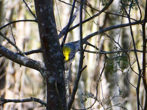
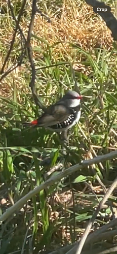
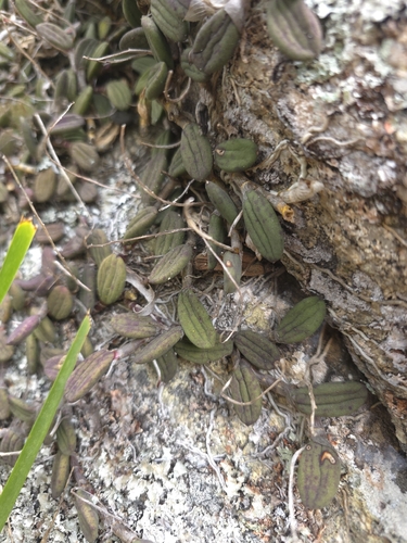
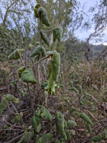
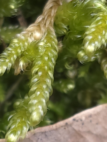
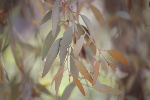
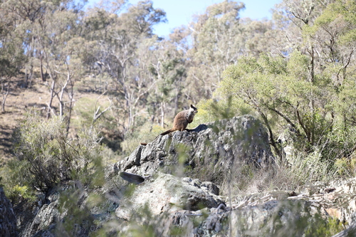
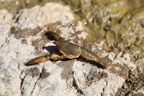
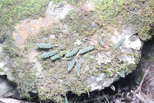
Research-grade observations from iNaturalist (within ~15 mi).
Events
Gallery
Sources
- • Wikipedia
- • Wikidata
- • USGS Earthquake Catalog (global feed)
- • GBIF (Global Biodiversity Information Facility)
- • iNaturalist
- • Open-Meteo / sunrise-sunset.org
- • Wikipedia Pageviews API