Browse / Australia / Victoria / Inglewood
Inglewood
Victoriatown

Inglewood
Total population
779
Demographic figures from Australian Bureau of Statistics. Overview below cites Wikipedia and may reference a different year.
City facts
Overview
Inglewood is a town in Victoria, Australia, located on the Calder Highway in the Shire of Loddon.
Read more on WikipediaHistory & geography
History
Inglewood, is known as the home of the 'Blue Mallee' Eucalyptus and is the home of Australia's largest Eucalyptus Oil Distillery, Bosisto's. The town was the largest producer of eucalyptus oil during the 1900s and is still home to two operating distilleries and the only Eucalyptus Distillery Museum in the country. Inglewood was an important gold mining centre during the Victorian Gold Rush of the 1850s and 1860s. Gold was first discovered in 1859 by Alexander, Joseph and Thomas Thompson and Joseph Hanny. On notification of the discovery some 16,000 diggers flocked to the area. By January 1860 a new field a few miles south of the original was opened up by Potter, Irvine and McKean and dubbed "New Inglewood". This is the site of the present township. By mid-1860 the population on the field was estimated to be greater than 40,000, ranking among the biggest rushes in Victoria's history. The population soon dwindled as the easily won alluvial deposits became exhausted but, as early as 1859, quartz reefs had been discovered which resulted in the permanent settlement of a few thousand miners and businessmen. The initial returns from the quartz reefs were significant. From the Columbian, 22 tons of stone crushed gave a return of over 2300 ounces of gold, one of the richest patches of gold recorded in the colony of Victoria. Numerous other reefs, including the Maxwell's, Jersey, March and Morning Star, gained renown for their rich yields. In November 1860 there were 4,500 men employed in quartz mining, more than any other field at that time. From 6 December 1861 until 1 February 1961, Inglewood was managed by a borough council. At the 2021 census Inglewood had a population of 886.
Excerpted from the corresponding Wikipedia article (CC BY-SA).
Geography
Coordinates & boundaries from the US Census TIGER/Line shapefiles.
Climate
Air quality
Walkability
Amenities nearby
Wildlife & biodiversity
Most-observed species
- GalahEolophus roseicapilla (Vieillot, 1817) · Aves1,516
- Australian MagpieGymnorhina tibicen (Latham, 1802) · Aves1,456
- White-plumed HoneyeaterPtilotula penicillata (Gould, 1837) · Aves1,251
- Gray ShrikethrushColluricincla harmonica (Latham, 1802) · Aves1,117
- Willie-wagtailRhipidura leucophrys (Latham, 1802) · Aves1,111
- Superb FairywrenMalurus cyaneus (Ellis, 1782) · Aves980
- Red WattlebirdAnthochaera carunculata (Shaw, 1790) · Aves939
- Welcome SwallowHirundo neoxena Gould, 1842 · Aves892
Citizen-science & research observations from the Global Biodiversity Information Facility (GBIF).
Earthquake history
Most recent
- M 3 — 2018-07-2318 km S of Cohuna, Australia
- M 3 — 2010-05-268 km E of Rochester, Australia
- M 2.7 — 2007-12-0938 km SE of Charlton, Australia
- M 2.8 — 2003-02-029 km N of Trentham, Australia
- M 2.9 — 2002-04-1945 km N of Charlton, Australia
- M 3.3 — 2002-01-225 km WNW of Rochester, Australia
Events from the USGS Earthquake Catalog (global) (FDSN Event Web Service).
Photos
Sights & places nearby
Notable people from here


People born within ~10 km, from Wikidata (CC0). Click any name for their Wikipedia article.
Nearby places in Victoria
- Bridgewater On Loddon4.5 mi away · pop. 341
- Serpentine12.6 mi away · pop. 110
- Wedderburn Junction14.5 mi away
- Korong Vale17.6 mi away · pop. 145
- Bears Lagoon17.8 mi away
- Raywood18.9 mi away · pop. 154
- Neilborough20.7 mi away
- Eddington21.4 mi away · pop. 29
- Bromley22.2 mi away
- Fernihurst22.4 mi away
- Dingee24.6 mi away
- Mysia24.6 mi away
Geography & sun
Elevation, sunrise/sunset and daylight from Open-Meteo. Solar climatology from NASA POWER.
Nearby airports
Public attention
Pageview totals from the Wikimedia Pageviews API.
Books about Inglewood
Search results from Open Library.
Recent natural events nearby
Ground air-quality sensors
Recently spotted species
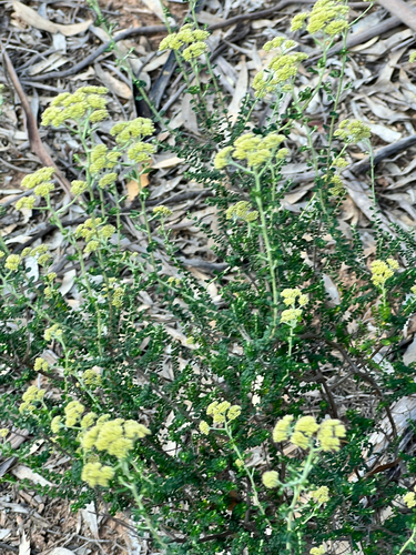
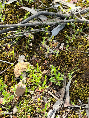
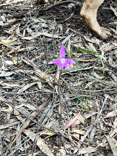
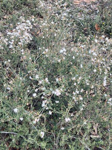
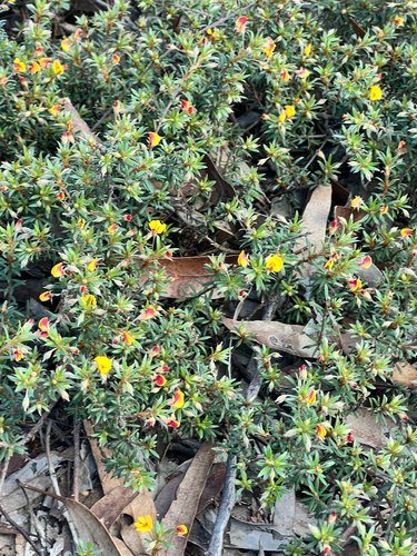
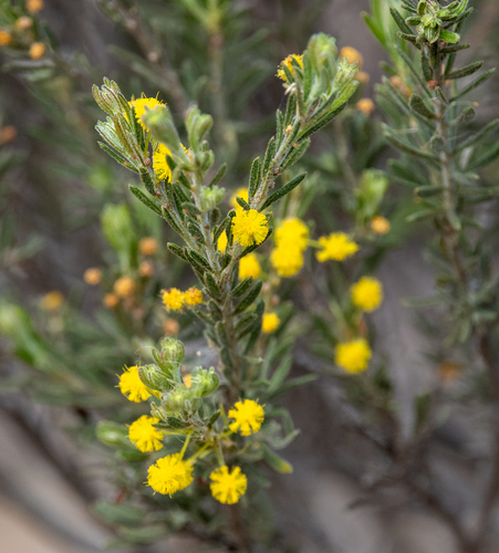
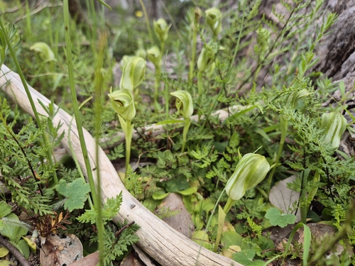
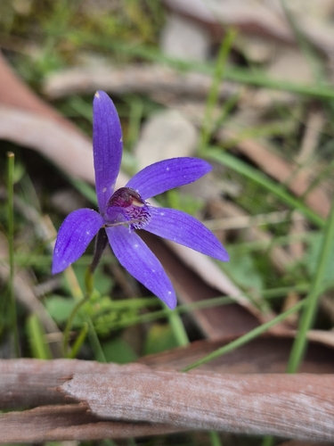
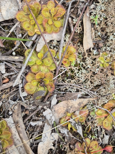
Research-grade observations from iNaturalist (within ~15 mi).
Events
Gallery
Sources
- • Wikipedia
- • Wikidata
- • USGS Earthquake Catalog (global feed)
- • GBIF (Global Biodiversity Information Facility)
- • iNaturalist
- • Open-Meteo / sunrise-sunset.org
- • Wikipedia Pageviews API
- • Open Library