Browse / Australia / Victoria / Kilcunda
Kilcunda
Victoriahamlet

Kilcunda
Total population
321
Air quality index
Demographic figures from Australian Bureau of Statistics. Overview below cites Wikipedia and may reference a different year.
City facts
Overview
Kilcunda is a seaside town located 117 kilometres (73 mi) south east of Melbourne between Phillip Island and Wonthaggi near Dalyston via the South Gippsland Highway on the Bass Highway, in the Bass Coast Shire of Gippsland, Victoria, Australia. Known originally as a train station near Wonthaggi, it is now the location of a very popular swimming hole at the Bourne Creek Trestle Bridge and at the 2016 census, Kilcunda had a population of 578.
Read more on WikipediaHistory & geography
History
The Bunurong Aboriginal people were custodians of this stretch of coast for thousands of years prior to white settlement. The Boakoolawal clan lived in the Kilcunda area south of the Bass River. Middens containing charcoal and shellfish mark the location of their campsites along the coast. Evidence of coal mining is scattered across Kilcunda, the most famous (pictured here) is the old Kilcunda Rail Bridge on the eastern side. Commissioned in 1910 and decommissioned in the 1970s, it now forms part of the Bass Coast Rail Trail. Mitchell's Black Coal Mine ruins are on Carew Road.
Excerpted from the corresponding Wikipedia article (CC BY-SA).
Geography
Coordinates & boundaries from the US Census TIGER/Line shapefiles.
Climate
10-year averages from ERA5 reanalysis (Open-Meteo).
Air quality
Current readings from Open-Meteo Air Quality API (Copernicus CAMS European reanalysis).
Walkability
Amenities nearby
Wildlife & biodiversity
Most-observed species
- Masked LapwingVanellus miles (Boddaert, 1783) · Aves5,638
- Australian MagpieGymnorhina tibicen (Latham, 1802) · Aves5,598
- Silver GullChroicocephalus novaehollandiae (Stephens, 1826) · Aves5,551
- Black SwanCygnus atratus (Latham, 1790) · Aves4,360
- Australian IbisThreskiornis molucca (Cuvier, 1829) · Aves4,298
- Red WattlebirdAnthochaera carunculata (Shaw, 1790) · Aves4,263
- Superb FairywrenMalurus cyaneus (Ellis, 1782) · Aves4,229
- Little RavenCorvus mellori Mathews, 1912 · Aves4,163
Citizen-science & research observations from the Global Biodiversity Information Facility (GBIF).
Earthquake history
Most recent
- M 3.3 — 2026-05-094 km ESE of Mirboo North, Australia
- M 4.3 — 2024-02-083 km E of Leongatha, Australia
- M 2.9 — 2021-11-054 km S of Rosebud, Australia
- M 2.8 — 2015-03-103 km NNE of Pakenham, Australia
- M 3.6 — 2014-12-034 km SW of Pakenham, Australia
- M 2.8 — 2014-01-131 km SSE of Lilydale, Australia
Events from the USGS Earthquake Catalog (global) (FDSN Event Web Service).
Photos
Sights & places nearby
Notable people from here

People born within ~10 km, from Wikidata (CC0). Click any name for their Wikipedia article.
Nearby places in Victoria
- Woolamai3.4 mi away
- Newhaven6.7 mi away · pop. 455
- Coronet Bay8 mi away · pop. 1,108
- Blackwood Forest8.5 mi away
- Almurta9 mi away
- Surf Beach9.9 mi away · pop. 981
- Glen Alvie10.3 mi away
- Cape Paterson11.3 mi away · pop. 960
- Smiths Beach12.3 mi away · pop. 315
- Kongwak13 mi away
- Wimbledon Heights13.9 mi away · pop. 421
- Inverloch14.8 mi away · pop. 6,046
Geography & sun
Elevation, sunrise/sunset and daylight from Open-Meteo. Solar climatology from NASA POWER.
Nearby airports
Public attention
Pageview totals from the Wikimedia Pageviews API.
Books about this place
Recent natural events nearby
Ground air-quality sensors
Recently spotted species
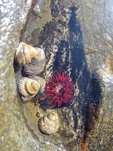
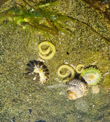
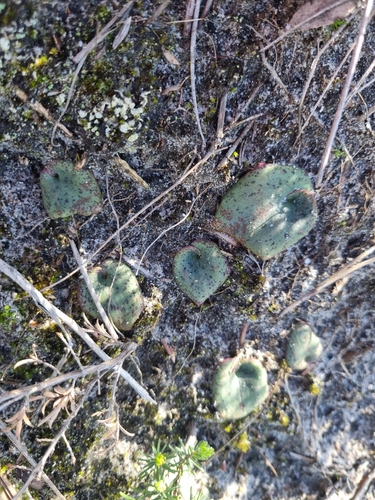
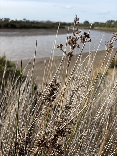
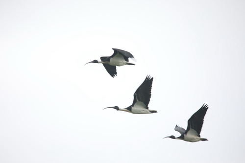
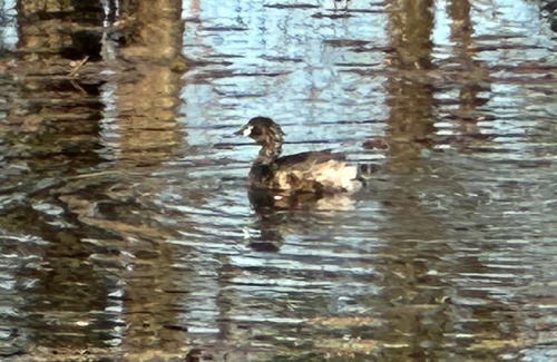
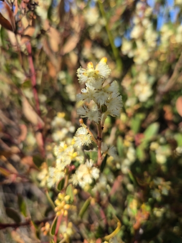
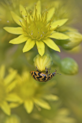
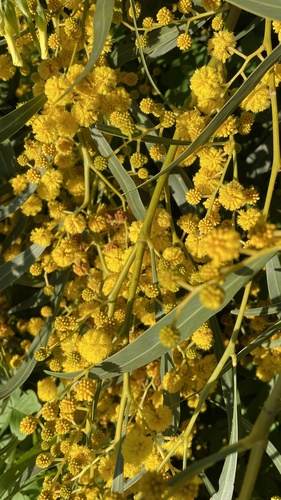
Research-grade observations from iNaturalist (within ~15 mi).
Events
Gallery
Sources
- • Wikipedia
- • Open-Meteo (ERA5 reanalysis)
- • Wikidata
- • Open-Meteo Air Quality (CAMS)
- • USGS Earthquake Catalog (global feed)
- • GBIF (Global Biodiversity Information Facility)
- • iNaturalist
- • Open-Meteo / sunrise-sunset.org
- • Wikipedia Pageviews API