Browse / Australia / Western Australia / Kirup
Kirup
Western Australiatown

Kirup
Total population
219
Demographic figures from Australian Bureau of Statistics. Overview below cites Wikipedia and may reference a different year.
City facts
Facts from Wikidata (CC0).
Overview
Kirup, originally named Upper Capel, then Kirupp, is situated between Donnybrook and Balingup on the South Western Highway, 228 kilometres (142 mi) south of Perth, Western Australia in the upper reaches of the Capel River valley.
Read more on WikipediaHistory & geography
History
Kirup and the Shire of Donnybrook–Balingup are located on the traditional land of the Wardandi people of the Noongar nation. European settlement at Upper Capel (south-east of the current locality of Upper Capel) began in the 1870s with Joseph Cookworthy's Rockfield cattle station, managed by John Moore. At that time all supplies were transported from Bunbury by bullock wagon, or horseback. By 1890 Upper Capel could field a cricket team, which played teams from Ferguson, Upper Preston and Greenbushes. In 1897 gold was discovered 12 miles to the north at Donnybrook, and by 1898 prospecting had extended to the Upper Capel, where three prospecting areas were staked. The Upper Capel railway siding was constructed in late 1897 as part of the new Donnybrook to Bridgetown railway line. Later extended and known as the Northcliffe railway line, passenger services ceased in the late 20th century. The new line allowed George Baxter to develop a timber concession. Baxter established Preston Jarrah Sawmills, with a long woodline spur into his concession from Upper Capel siding. The mill produced timber for export through Bunbury, sleepers for the Menzies-Leonora railway, the New Zealand government and for the South African and New South Wales railways, and timber for new harbour works at Fremantle. In 1901 a townsite was surveyed and gazetted, adjacent to the Upper Capel railway station. The Upper Capel Roads Board (headquartered at Balingup) proposed that the town be called "Keerup", the Noongar name for the area, thought to mean "place of the summer flies". Following World War I Kirup and East Kirup (now called Grimwade) were part of the Soldier Settlement Scheme, in which larger historical landholdings such as the Ravenscliffe Estate (2,311 acres), Brazier Estate (1,350…
Excerpted from the corresponding Wikipedia article (CC BY-SA).
Geography
Coordinates & boundaries from the US Census TIGER/Line shapefiles.
Climate
Air quality
Walkability
Amenities nearby
Wildlife & biodiversity
Earthquake history
Photos
Sights & places nearby
Notable people from here
Nearby places in Western Australia
- Newlands2.8 mi away · pop. 114
- Mullalyup4 mi away · pop. 152
- Balingup7.6 mi away · pop. 280
- Greenbushes13.8 mi away · pop. 361
- Jarrahwood14.5 mi away · pop. 20
- Boyanup18 mi away · pop. 878
- Tutunup19.4 mi away
- Dardanup22.6 mi away · pop. 545
- Lyalls22.6 mi away
- Hithergreen22.6 mi away · pop. 61
- McAlinden26.3 mi away
- Cardiff26.4 mi away · pop. 107
Geography & sun
Elevation, sunrise/sunset and daylight from Open-Meteo. Solar climatology from NASA POWER.
Nearby airports
Public attention
Pageview totals from the Wikimedia Pageviews API.
Books about this place
Recent natural events nearby
Ground air-quality sensors
Recently spotted species
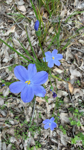
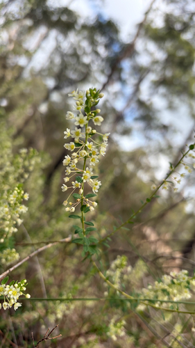
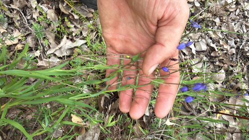
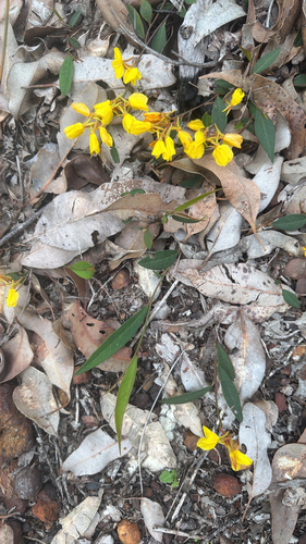
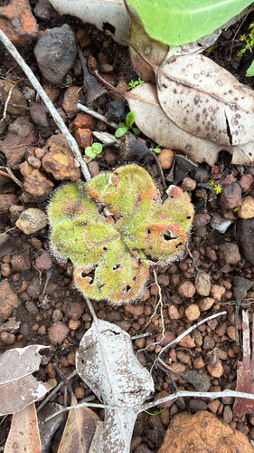
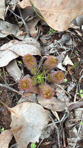
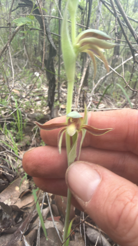
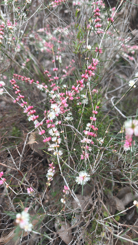
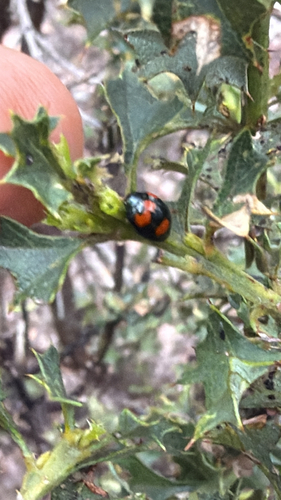
Research-grade observations from iNaturalist (within ~15 mi).
Events
Gallery
Official Identifiers
ABS — Australian Bureau of Statistics
- ASGS 2021
- SAL50768
- Population (Wikidata)
- 156
- Wikidata
- Q3197432
ASGS 2021 ID via Wikidata P10112
Sources
- • Wikipedia
- • Wikidata
- • iNaturalist
- • Open-Meteo / sunrise-sunset.org
- • Wikipedia Pageviews API
- • ABS — Australian Bureau of Statistics — ASGS 2021 ID via Wikidata P10112