Browse / Australia / Western Australia / Koolyanobbing
Koolyanobbing
Western Australiavillage
Total population
94
Demographic figures from Australian Bureau of Statistics. Overview below cites Wikipedia and may reference a different year.
City facts
Facts from Wikidata (CC0).
Overview
Koolyanobbing is located in the Shire of Yilgarn, Western Australia, 54 km (34 mi) north-northeast of the town of Southern Cross. Iron ore has been mined there since 1948 by a series of companies, with a break between 1983 and 1993, and since 2024. Most recently, the ore was mined by Mineral Resources and railed to the port at Esperance for export.
Read more on WikipediaHistory & geography
History
The place name Koolyanobbing is of local Aboriginal origin, meaning "place of large rocks" in the Kaalamaya language of the Kaprun people. The first European to visit the area was Charles Cooke Hunt in 1864 who explored the Koolyanobbing range that is situated nearby. The next European to visit the area, in 1887 and later in 1891, was a gold prospector named Henry Dowd, who thought that the rocks in the area were of no value. He recorded his findings and stored them in a bottle that was buried next to a survey peg and which was found again in 1963 at what is now known as Dowd Hill. Iron ore was first mined at Koolyanobbing from 1948. It was sent by truck to Southern Cross from where it was shipped by rail to Wundowie, where there was a state-owned blast furnace. The town was established to service a new iron ore mine in the 1960s at Dowd Hill. It was gazetted in 1965. Simultaneously, the former Eastern Goldfields Railway between Southern Cross and Kalgoorlie was realigned for change to standard gauge, and to service the Koolyanobbing mine. The new town site's facilities included a bowling green, general store, golf club, swimming pool and town hall. There was a short break in production until November 2018 as the new owners took control That package expired in February 2023, and in June 2024, Mineral Resources announced that its Yilgarn operations would close by the end of the year, as it was no longer "financially viable", even with further government assistance. The Koolyanobbing Range supports many endemic, priority and one declared rare flora species.
Excerpted from the corresponding Wikipedia article (CC BY-SA).
Geography
Coordinates & boundaries from the US Census TIGER/Line shapefiles.
Climate
Air quality
Walkability
Amenities nearby
Wildlife & biodiversity
Earthquake history
Photos
Sights & places nearby
Notable people from here
Nearby places in Western Australia
- Southern Cross30.7 mi away · pop. 523
- Moorine Rock41.5 mi away · pop. 70
- Marvel Loch45.2 mi away · pop. 93
- Jackson (abandoned)48.8 mi away
- Westonia59.2 mi away · pop. 199
- Mukinbudin78.2 mi away · pop. 284
- Wialki86.5 mi away · pop. 29
- Welbungin90.5 mi away · pop. 36
- Coolgardie97.8 mi away · pop. 763
- Kurrawang107.4 mi away · pop. 84
- Narembeen108.8 mi away · pop. 423
- Ninga Mia117.3 mi away
Geography & sun
Nearby airports
Public attention
Books about this place
Recent natural events nearby
Ground air-quality sensors
Recently spotted species
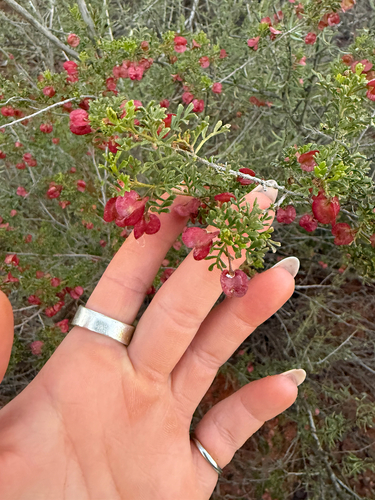
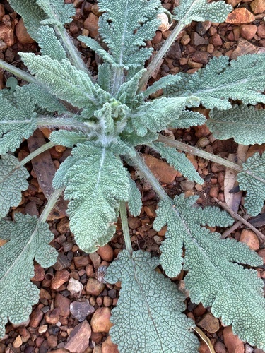
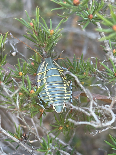
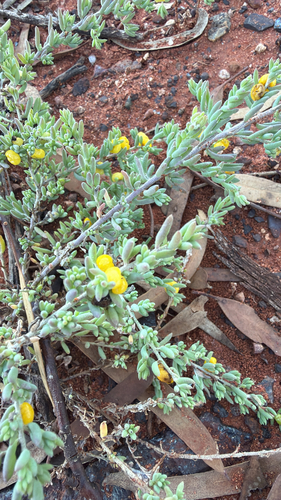
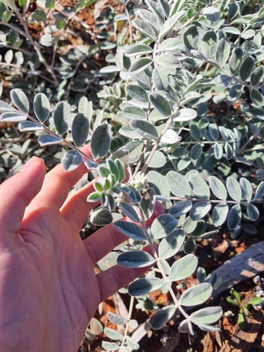
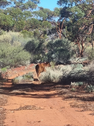
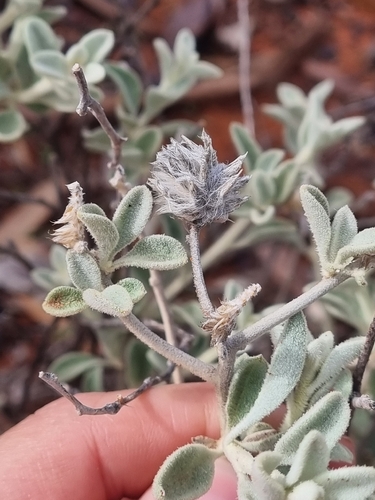
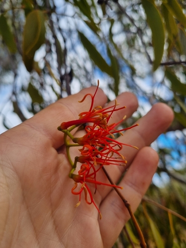
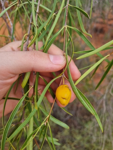
Research-grade observations from iNaturalist (within ~15 mi).
Events
Gallery
Official Identifiers
ABS — Australian Bureau of Statistics
- ASGS 2021
- SAL50779
- Population (Wikidata)
- 93
- Wikidata
- Q6430647
ASGS 2021 ID via Wikidata P10112
Sources
- • Wikipedia
- • Wikidata
- • iNaturalist
- • ABS — Australian Bureau of Statistics — ASGS 2021 ID via Wikidata P10112