Browse / Australia / Western Australia / Kulja
Kulja
Western Australiahamlet

Kulja
Total population
18
Demographic figures from Australian Bureau of Statistics. Overview below cites Wikipedia and may reference a different year.
City facts
Facts from Wikidata (CC0).
Overview
Kulja is a small town in the Wheatbelt region of Western Australia. The town is situated along the Bonnie Rock to Burakin Road.
Read more on WikipediaHistory & geography
History
Kulja had a post office between 1928 and 1973. There was also a Kulja Railway Construction post office between 1929 and 1931. In 1932 the Wheat Pool of Western Australia announced that the town would have two grain elevators, each fitted with an engine, installed at the railway siding.
Excerpted from the corresponding Wikipedia article (CC BY-SA).
Geography
Coordinates & boundaries from the US Census TIGER/Line shapefiles.
Climate
Air quality
Walkability
Amenities nearby
Wildlife & biodiversity
Earthquake history
Photos
Sights & places nearby
Notable people from here
Geography & sun
Elevation, sunrise/sunset and daylight from Open-Meteo. Solar climatology from NASA POWER.
Nearby airports
Public attention
Pageview totals from the Wikimedia Pageviews API.
Books about this place
Recent natural events nearby
Ground air-quality sensors
Recently spotted species
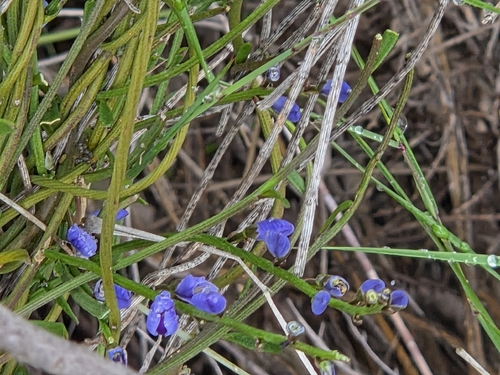
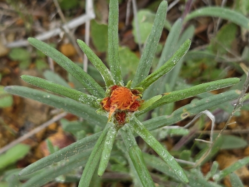
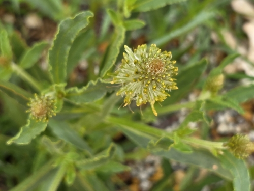
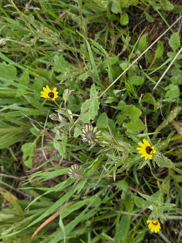
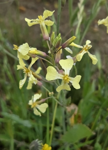
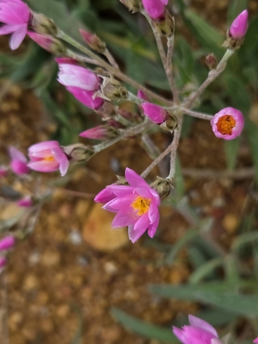
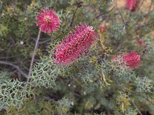
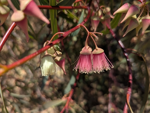
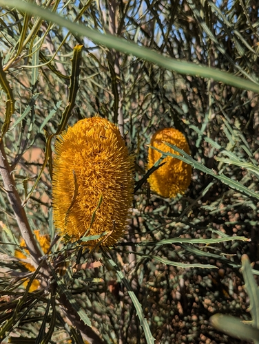
Research-grade observations from iNaturalist (within ~15 mi).
Events
Gallery
Official Identifiers
ABS — Australian Bureau of Statistics
- ASGS 2021
- SAL50794
- Population (Wikidata)
- 18
- Wikidata
- Q6443062
ASGS 2021 ID via Wikidata P10112
Sources
- • Wikipedia
- • Wikidata
- • iNaturalist
- • Open-Meteo / sunrise-sunset.org
- • Wikipedia Pageviews API
- • ABS — Australian Bureau of Statistics — ASGS 2021 ID via Wikidata P10112