Browse / Australia / Queensland / Kumbia
Kumbia
Queenslandtown

Kumbia
Air quality index
Demographic figures from Australian Bureau of Statistics. Overview below cites Wikipedia and may reference a different year.
City facts
Overview
Kumbia is a rural town and locality in the South Burnett Region, Queensland, Australia. In the 2021 census, the locality of Kumbia had a population of 301 people.
Read more on WikipediaHistory & geography
History
The name Kumbia is from the Waka language but its meaning is uncertain, possibly referring to white ant nests or a small scrub vine. A postal receiving office opened in 1913, being replaced by Kumbia Post Office on 19 July 1915. The Kumbia State School opened on 2 February 1914 and celebrated its 100-year anniversary in 2014.Kumbia Methodist Church opened in 1914. It was built from timber at a cost of £165 and could seat 150 people. As part of the amalgamation that created the Uniting Church in Australia, in 1977 it became Kumbia Uniting Church.On Sunday 18 May 1919, the Roman Catholic Church in Kumbia was officially opened and consecrated as The Lady of the Sacred Heart Catholic Church by Archbishop James Duhig. It was built from timber. Later it becomes known as Our Lady of Peace Catholic Church. As a memorial for those from the Kumbia district who had died in World War I, a school of arts hall was opened in Kumbia on Saturday 2 September 1922 with a sports day followed by a concert and dance in the evening. The building cost £1,250. More than 1,000 people attended the sports day with an estimated 570 people attending the evening entertainment. The day had been declared as a local public holiday. Trinity Evangelical Lutheran Church was built in 1914. It was replaced by a new church building in 1959. It was later renamed Peace Lutheran Church. In May 1918, St Paul's Anglican Church was officially opened and dedicated by Archdeacon Rivers. A new St Paul's Church of England was dedicated on 28 November 1970 by the Right Reverend Wilfrid John Hudson. Its closure circa 2015 was approved by Bishop Cameron Venables.
Geography
The town is located on the Bunya Highway. It is the main street for the town, but is known with the town as Bell Street.
Excerpted from the corresponding Wikipedia article (CC BY-SA).
Geography
Coordinates & boundaries from the US Census TIGER/Line shapefiles.
Climate
10-year averages from ERA5 reanalysis (Open-Meteo).
Air quality
Current readings from Open-Meteo Air Quality API (Copernicus CAMS European reanalysis).
Walkability
Amenities nearby
Wildlife & biodiversity
Most-observed species
- Torresian CrowCorvus orru Bonaparte, 1850 · Aves451
- Pied CurrawongStrepera graculina (Shaw, 1790) · Aves393
- Australian MagpieGymnorhina tibicen (Latham, 1802) · Aves365
- GalahEolophus roseicapilla (Vieillot, 1817) · Aves358
- Crested PigeonOcyphaps lophotes (Temminck, 1822) · Aves337
- Magpie-larkGrallina cyanoleuca (Latham, 1802) · Aves335
- Sulphur-crested CockatooCacatua galerita (Latham, 1790) · Aves329
- Noisy MinerManorina melanocephala (Latham, 1801) · Aves326
Citizen-science & research observations from the Global Biodiversity Information Facility (GBIF).
Earthquake history
Most recent
- M 4.9 — 2025-08-1512 km ESE of Cherbourg, Australia
- M 3.9 — 2007-08-2540 km W of Kingaroy, Australia
- M 3.6 — 2005-03-0736 km WNW of Kingaroy, Australia
- M 3.7 — 2004-02-2147 km WNW of Kingaroy, Australia
Events from the USGS Earthquake Catalog (global) (FDSN Event Web Service).
Photos
Sights & places nearby
Notable people from here
Nearby places in Queensland
Geography & sun
Elevation, sunrise/sunset and daylight from Open-Meteo. Solar climatology from NASA POWER.
Nearby airports
Public attention
Pageview totals from the Wikimedia Pageviews API.
Books about this place
Recent natural events nearby
Ground air-quality sensors
Recently spotted species
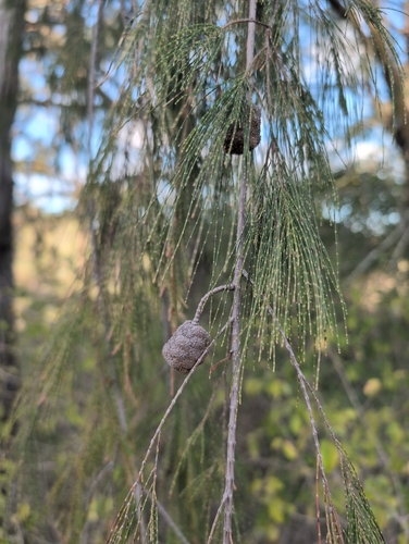
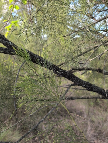
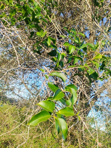
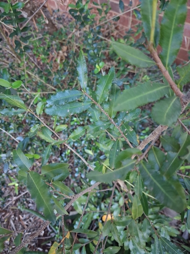
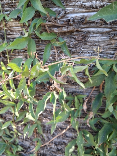
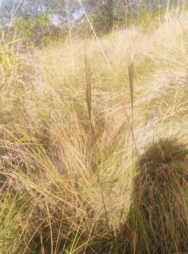
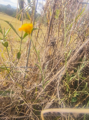
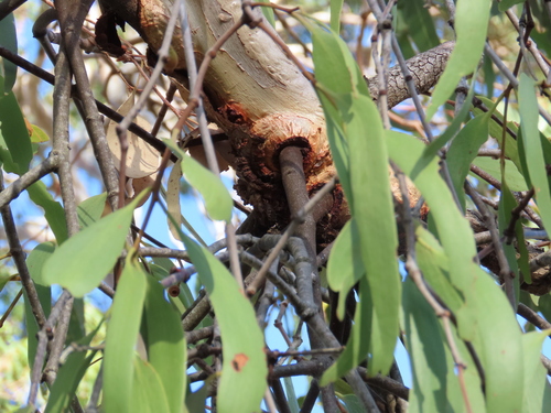
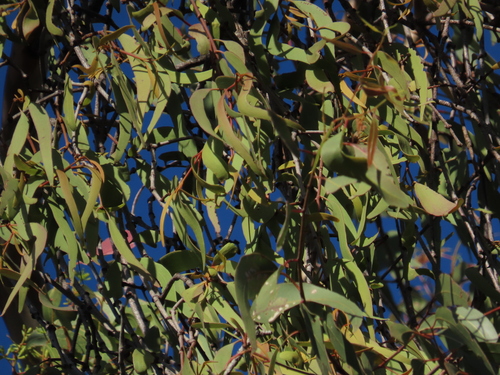
Research-grade observations from iNaturalist (within ~15 mi).
Events
Gallery
Official Identifiers
ABS — Australian Bureau of Statistics
- ASGS 2021
- SAL31584
- Population (Wikidata)
- 294
- Wikidata
- Q6443746
ASGS 2021 ID via Wikidata P10112
Sources
- • Wikipedia
- • Open-Meteo (ERA5 reanalysis)
- • Wikidata
- • Open-Meteo Air Quality (CAMS)
- • USGS Earthquake Catalog (global feed)
- • GBIF (Global Biodiversity Information Facility)
- • iNaturalist
- • Open-Meteo / sunrise-sunset.org
- • Wikipedia Pageviews API
- • ABS — Australian Bureau of Statistics — ASGS 2021 ID via Wikidata P10112