Browse / Australia / Victoria / Kyneton
Kyneton
Victoriatown

Kyneton
Total population
5,151
Founded
1850
Demographic figures from Australian Bureau of Statistics. Overview below cites Wikipedia and may reference a different year.
City facts
Facts from Wikidata (CC0).
Overview
Kyneton is a town in the Macedon Ranges region of central Victoria, Australia. The Calder Freeway bypasses Kyneton to the north and east.
Read more on WikipediaHistory & geography
History
The region is located on the border of Djadjawurrung and Taungurong country. Before British colonisation these Indigenous Australian people resided mostly along the Coliban and Campaspe Rivers. Village-like communities existed in particular in the area around the junction of these rivers. Large in-ground stone ovens which they used to cook meat and murnong were commonly found in the region. Major Thomas Mitchell, New South Wales Surveyor-General crossed and named the Campaspe River near present-day Kyneton on his 1836 expedition. Charles Ebden was the first British colonist to occupy the region that includes the site of Kyneton. On 26 May 1837, he established a sheep station which he called Carlsruhe 6 km south of what is now Kyneton. Thomas Walker, a Sydney businessman, walked from Sydney to Melbourne in 1837, recording the trip in a journal "A month in the Bush of Australia". Thomas Walker met Ebden in May 1837 on the journey south. In June 1838 the Waterloo Plains massacre of 8–23 Djadjawurrung people occurred on the newly established Barfold sheep run north of Kyneton. Unlike a majority of towns in the area, Kyneton predates the separation of the Port Phillip District from the Colony of New South Wales and the Victorian gold rushes, having been established in 1850, whereas separation occurred and the gold rushes started the year after. Construction of Kyneton's oldest surviving stone building, the Church of England Rectory, located at 61 Ebden Street, commenced in 1850 and is a rare surviving example of a pre-gold rush and pre-separation dwelling. At this time, Kyneton was a growing rural centre, and served as a major stop for those heading to the gold rushes at Mount Alexander and Bendigo. The post office opened on 1 July 1843 as Mount Macedon and was…
Excerpted from the corresponding Wikipedia article (CC BY-SA).
Geography
Coordinates & boundaries from the US Census TIGER/Line shapefiles.
Climate
Air quality
Walkability
Amenities nearby
Wildlife & biodiversity
Earthquake history
Photos
Sights & places nearby
Notable people from here
Nearby places in Victoria
Geography & sun
Elevation, sunrise/sunset and daylight from Open-Meteo. Solar climatology from NASA POWER.
Nearby airports
Public attention
Pageview totals from the Wikimedia Pageviews API.
Books about this place
Recent natural events nearby
Ground air-quality sensors
Recently spotted species
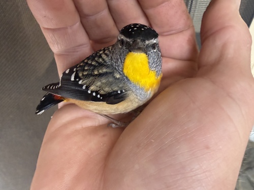
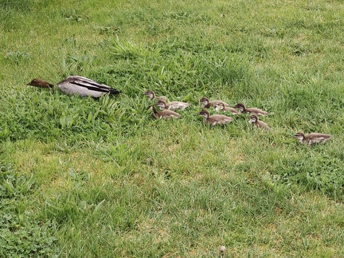
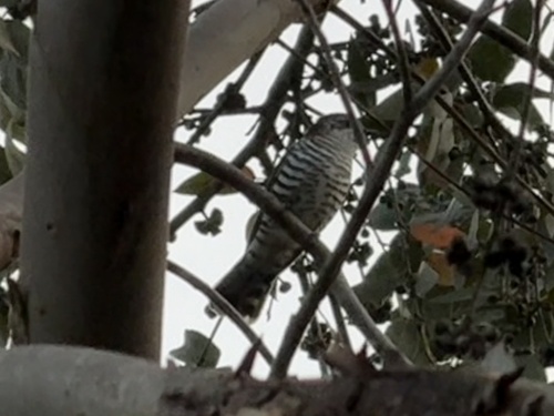

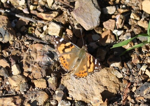


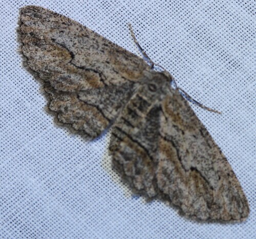
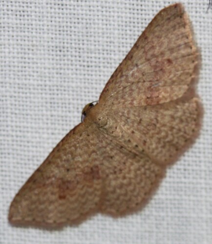
Research-grade observations from iNaturalist (within ~15 mi).
Events
Gallery
Sources
- • Wikipedia
- • Wikidata
- • iNaturalist
- • Open-Meteo / sunrise-sunset.org
- • Wikipedia Pageviews API