Browse / Australia / Northern Territory / Lajamanu
Lajamanu
Northern Territoryvillage

Lajamanu
Total population
653
Air quality index
Demographic figures from Australian Bureau of Statistics. Overview below cites Wikipedia and may reference a different year.
City facts
Overview
Lajamanu, formerly known as Hooker Creek Native Settlement or just Hooker Creek, is a small town of the Northern Territory of Australia. It is located around 560 km (350 mi) from Katherine and approximately 890 km (550 mi) from Darwin. At the 2021 Australian census, Lajamanu had a population of 655, of whom 92.4 percent are of Aboriginal and/or Torres Strait Islander origin, chiefly Warlpiri people.
Read more on WikipediaHistory & geography
History
Lajamanu was established in 1949, on the site of the former Hooker Creek station. The government moved Walpiri people from Yuendumu, only succeeding on the fourth attempt, after people had simply walked back their own communities on the first three attempts. In the 1950s it was known as the Hooker Creek Native Settlement. There was a village council in the 1960s (possibly earlier). In 1970, a council of twelve men was elected, including Maurice Jupurrurla Luther , who had been taken to Hooker Creek from Yuendumu in 1958. In 1976 he was appointed to a committee of four people to inquire into the role of the National Aboriginal Consultative Committee. After the Gurindji strike and handover of Wattie Creek to the Gurindji people by Prime Minister Gough Whitlam, Luther was an important figure in negotiations to allow the Warlpiri people to continue living at Lajamanu, the Gurindji being the traditional owners of the area. He also played a large part in the decision to rename the place Lajamanu, which is derived from a nearby Gurindji place name.
Geography
Lajamanu is located close to the centre of Australia, which has a hot, dry climate. In February 2010 and February 2023, media outlets reported that hundreds of live spangled perch (Leiopotherapon unicolor) rained down upon the town. However, this species has exceptionally good dispersal abilities and can migrate via overland flow, leading to its being commonly found scattered on the ground following heavy rain and mistaken reports of having fallen from the sky.
Excerpted from the corresponding Wikipedia article (CC BY-SA).
Geography
Coordinates & boundaries from the US Census TIGER/Line shapefiles.
Climate
Air quality
Current readings from Open-Meteo Air Quality API (Copernicus CAMS European reanalysis).
Walkability
Amenities nearby
Wildlife & biodiversity
Most-observed species
- Zebra FinchTaeniopygia guttata (Vieillot, 1817) · Aves24
- Black KiteMilvus migrans (Boddaert, 1783) · Aves24
- Willie-wagtailRhipidura leucophrys (Latham, 1802) · Aves23
- Magpie-larkGrallina cyanoleuca (Latham, 1802) · Aves22
- Brown HoneyeaterLichmera indistincta (Vigors & Horsfield, 1827) · Aves18
- Peaceful DoveGeopelia placida Gould, 1844 · Aves17
- Black-faced CuckooshrikeCoracina novaehollandiae (Gmelin, 1789) · Aves16
- Gray-fronted HoneyeaterPtilotula plumula (Gould, 1841) · Aves16
Citizen-science & research observations from the Global Biodiversity Information Facility (GBIF).
Earthquake history
Events from the USGS Earthquake Catalog (global) (FDSN Event Web Service).
Photos
Sights & places nearby
Notable people from here
People born within ~10 km, from Wikidata (CC0). Click any name for their Wikipedia article.
Nearby places in Northern Territory
- Seale Yard67.3 mi away
- Bamboo Springs139.5 mi away
- Yinguwunarri142.7 mi away
- Waterloo145.8 mi away
- Parrulyu147.3 mi away
- Twin Hills Village154.3 mi away
- Bobs Yard160.8 mi away
- Bulla181.9 mi away
- Myatt181.9 mi away · pop. 122
- Timber Creek185.4 mi away · pop. 278
- Marlinja193.9 mi away
- Elliott198.6 mi away · pop. 287
Geography & sun
Elevation, sunrise/sunset and daylight from Open-Meteo. Solar climatology from NASA POWER.
Nearby airports
Public attention
Pageview totals from the Wikimedia Pageviews API.
Books about this place
Recent natural events nearby
Ground air-quality sensors
Recently spotted species
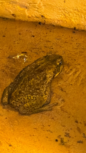
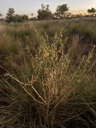
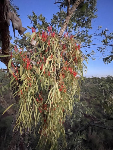
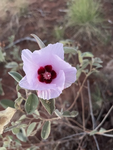
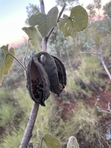
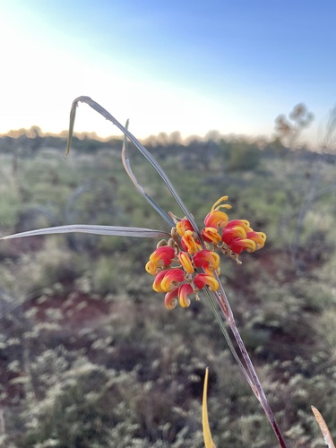
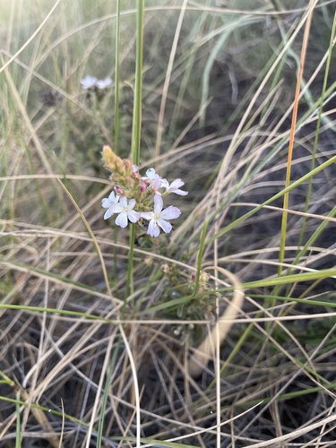
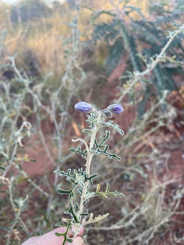
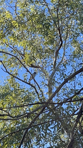
Research-grade observations from iNaturalist (within ~15 mi).
Events
Gallery
Sources
- • Wikipedia
- • Wikidata
- • Open-Meteo Air Quality (CAMS)
- • USGS Earthquake Catalog (global feed)
- • GBIF (Global Biodiversity Information Facility)
- • iNaturalist
- • Open-Meteo / sunrise-sunset.org
- • Wikipedia Pageviews API