Browse / Australia / New South Wales / Lake Cargelligo
Lake Cargelligo
New South Walestown

Lake Cargelligo
Total population
1,169
Demographic figures from Australian Bureau of Statistics. Overview below cites Wikipedia and may reference a different year.
City facts
Facts from Wikidata (CC0).
Overview
Lake Cargelligo is a town in the Central West region of New South Wales, Australia, on Lake Cargelligo. It is in Lachlan Shire. Its name is said to be a corruption of the Aboriginal word kartjellakoo meaning 'he had a coolamon'. Alternatively it is derived from Wiradjuri and Ngiyambaa "gajal" for water container with suffix "lugu" for "her" or "his". At the 2021 census, Lake Cargelligo had a population of 1,430. It had an Indigenous population of 257 (18%) and other Australian-born population of 1,153.
Read more on WikipediaHistory & geography
History
The area now known as Lake Cargelligo lies within the traditional lands of the Wiradjuri people. The explorers, John Oxley and George Evans, followed the Lachlan River down to Lake Cargelligo in 1817. Lake Cargelligo was known as Cudgelligo (or sometimes Cudgellico) in the 1800s and was officially changed when the railway arrived in 1917. After colonial settlement, the land was taken over by settlers and the local Aboriginal population was removed from their traditional country and consolidated at other locations, under the control of the Aboriginal Protection Board. In 1907, official records showed no Aboriginal people as living at 'Cudgellico Lake'. In 1949, a population of Wiradjuri, together with Ngiyampaa and Paakantyi people—from traditional lands west of the Wiradjuri lands—totalling 240 people was relocated from Menindee to a camp at Murrin Bridge about 15 km from Lake Cargelligo. On 22 January 2026, a shooting spree occurred in the town. Three people were killed, including a pregnant woman, and another was critically injured. The suspect, Julian Ingram, fled the scene and has since been found dead by suicide on the 11th of May, 2026.
Excerpted from the corresponding Wikipedia article (CC BY-SA).
Geography
Coordinates & boundaries from the US Census TIGER/Line shapefiles.
Climate
Air quality
Walkability
Amenities nearby
Wildlife & biodiversity
Most-observed species
- Magpie-larkGrallina cyanoleuca (Latham, 1802) · Aves1,443
- GalahEolophus roseicapilla (Vieillot, 1817) · Aves1,434
- Willie-wagtailRhipidura leucophrys (Latham, 1802) · Aves1,342
- Australian MagpieGymnorhina tibicen (Latham, 1802) · Aves1,114
- Crested PigeonOcyphaps lophotes (Temminck, 1822) · Aves1,022
- European StarlingSturnus vulgaris Linnaeus, 1758 · Aves984
- Gray TealAnas gracilis Buller, 1869 · Aves976
- Australian PelicanPelecanus conspicillatus Temminck, 1824 · Aves892
Citizen-science & research observations from the Global Biodiversity Information Facility (GBIF).
Earthquake history
Most recent
- M 3.7 — 2005-01-188 km N of West Wyalong, Australia
Events from the USGS Earthquake Catalog (global) (FDSN Event Web Service).
Photos
Sights & places nearby
Notable people from here
People born within ~10 km, from Wikidata (CC0). Click any name for their Wikipedia article.
Nearby places in New South Wales
Geography & sun
Elevation, sunrise/sunset and daylight from Open-Meteo. Solar climatology from NASA POWER.
Nearby airports
Public attention
Pageview totals from the Wikimedia Pageviews API.
Books about this place
Recent natural events nearby
Ground air-quality sensors
Recently spotted species
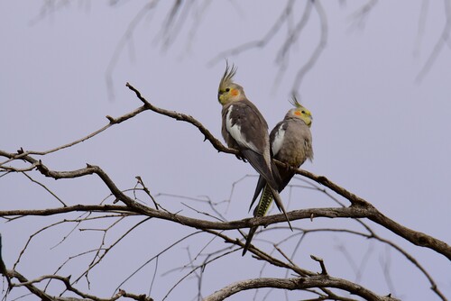
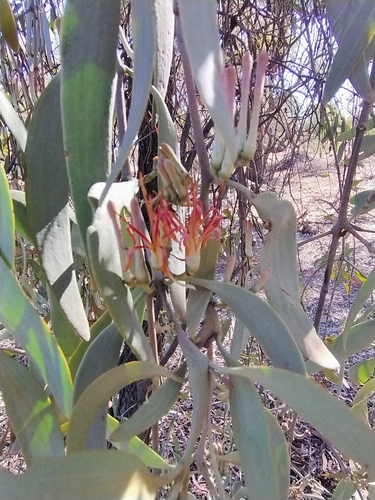
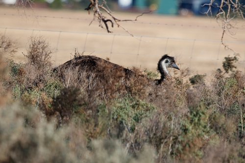
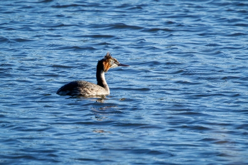
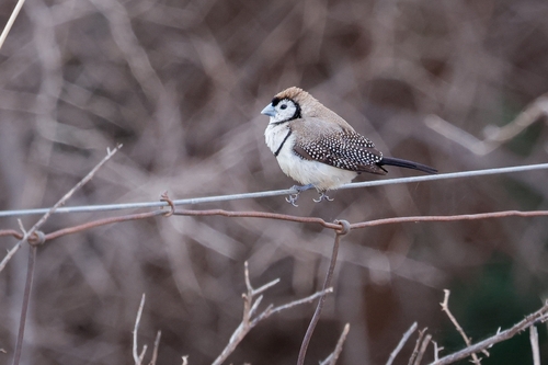
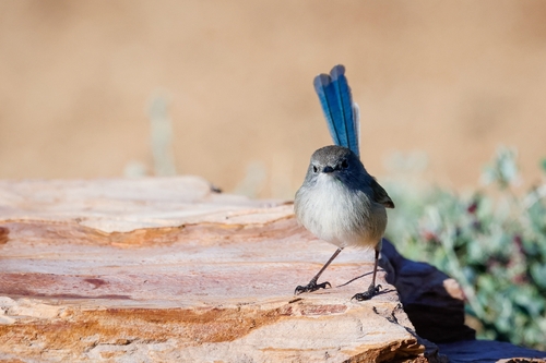
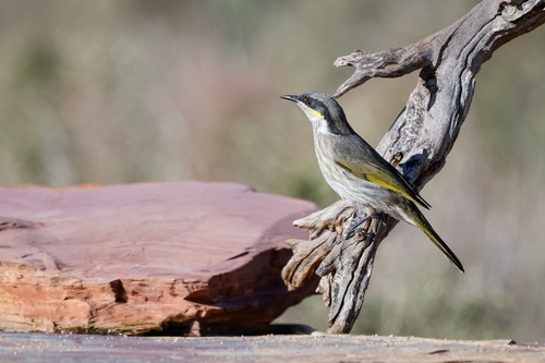
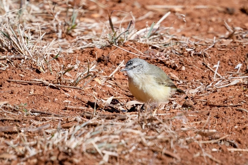
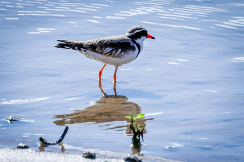
Research-grade observations from iNaturalist (within ~15 mi).
Events
Gallery
Sources
- • Wikipedia
- • Wikidata
- • USGS Earthquake Catalog (global feed)
- • GBIF (Global Biodiversity Information Facility)
- • iNaturalist
- • Open-Meteo / sunrise-sunset.org
- • Wikipedia Pageviews API