Browse / Australia / Queensland / Lake Manchester
Lake Manchester
Queenslandhamlet

Lake Manchester
Demographic figures from Australian Bureau of Statistics. Overview below cites Wikipedia and may reference a different year.
City facts
Overview
Lake Manchester is both a lake in the City of Brisbane and the surrounding locality which is split between the City of Brisbane and Somerset Region in Queensland, Australia. It is 30 kilometres (19 mi) west of the CBD. In the 2021 census, Lake Manchester had a population of 17 people.
Read more on WikipediaHistory & geography
History
Noogoora Provisional School opened in 1900. It must have subsequently closed as residents were requesting it be reopened in 1911. It became a State School on 1 December 1914. It was renamed Cabbage Tree State School circa 1916-1917. It closed circa 1919. It was on the southern side of Lake Manchester Road (approx ). The name Noogoora is associated with a large farm of with a frontage to the Brisbane River in the area. Cabbage Tree Creek is flows near the school and is a tributary of the Brisbane River (). The locality is named after the lake which was created by the Lake Manchester Dam constructed between 1912 and 1916. It is named after civil engineer, Ernest James Theodore Manchester, who was the President of the Metropolitan Water and Sewerage Board from 1909 to 1928. It impounds Cabbage Tree Creek.
Geography
The locality is mostly undeveloped mountainous terrain of the south west D'Aguilar Range. The north of the suburb is part of the D'Aguilar National Park and most of the southern parts belong to the Brisbane State Forest. The western part of the locality in Somerset Region is rural land, predominantly used for grazing on native vegetation.
Excerpted from the corresponding Wikipedia article (CC BY-SA).
Geography
Coordinates & boundaries from the US Census TIGER/Line shapefiles.
Climate
10-year averages from ERA5 reanalysis (Open-Meteo).
Air quality
Walkability
Amenities nearby
Wildlife & biodiversity
Most-observed species
- Rainbow LorikeetTrichoglossus haematodus (Linnaeus, 1771) · Aves16,658
- Torresian CrowCorvus orru Bonaparte, 1850 · Aves16,371
- Lewin's HoneyeaterMeliphaga lewinii (Swainson, 1837) · Aves15,372
- Noisy MinerManorina melanocephala (Latham, 1801) · Aves15,354
- Sulphur-crested CockatooCacatua galerita (Latham, 1790) · Aves15,290
- Laughing KookaburraDacelo novaeguineae (Hermann, 1783) · Aves14,762
- Australian MagpieGymnorhina tibicen (Latham, 1802) · Aves14,642
- Eastern WhipbirdPsophodes olivaceus (Latham, 1802) · Aves12,782
Citizen-science & research observations from the Global Biodiversity Information Facility (GBIF).
Earthquake history
Events from the USGS Earthquake Catalog (global) (FDSN Event Web Service).
Photos
Sights & places nearby
Notable people from here


People born within ~10 km, from Wikidata (CC0). Click any name for their Wikipedia article.
Nearby places in Queensland
- Mount Nebo6 mi away · pop. 430
- Fernvale6 mi away · pop. 3,193
- Colleges Crossing6.5 mi away
- Stanton Cross7.3 mi away
- Ipswich9.7 mi away
- Marburg11 mi away · pop. 696
- Clarendon12.5 mi away
- Willowbank13 mi away · pop. 1,300
- Minden13.6 mi away
- Coominya16.2 mi away · pop. 513
- Dayboro20 mi away
- Glenore Grove21.1 mi away
Geography & sun
Elevation, sunrise/sunset and daylight from Open-Meteo. Solar climatology from NASA POWER.
Nearby airports
Public attention
Pageview totals from the Wikimedia Pageviews API.
Books about this place
Recent natural events nearby
Ground air-quality sensors
Recently spotted species
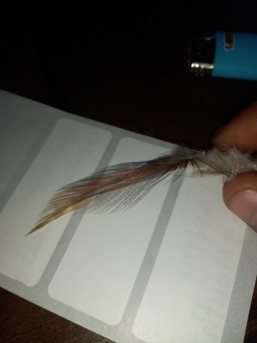
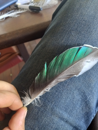
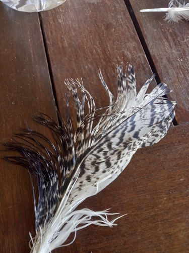
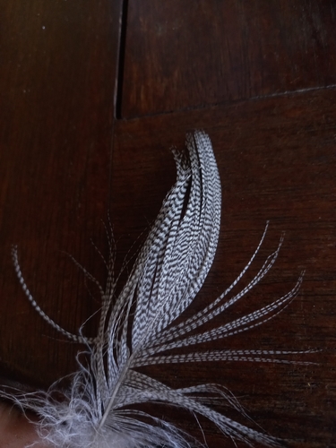
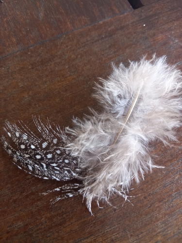
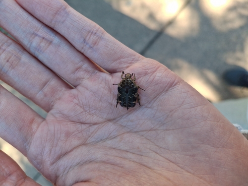
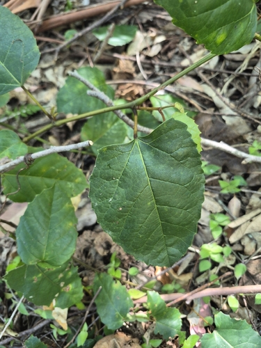
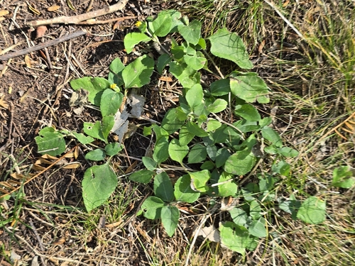
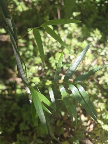
Research-grade observations from iNaturalist (within ~15 mi).
Events
Gallery
Official Identifiers
ABS — Australian Bureau of Statistics
- ASGS 2021
- SAL31616
- Population (Wikidata)
- 17
- Wikidata
- Q6476773
ASGS 2021 ID via Wikidata P10112
Sources
- • Wikipedia
- • Open-Meteo (ERA5 reanalysis)
- • Wikidata
- • USGS Earthquake Catalog (global feed)
- • GBIF (Global Biodiversity Information Facility)
- • iNaturalist
- • Open-Meteo / sunrise-sunset.org
- • Wikipedia Pageviews API
- • ABS — Australian Bureau of Statistics — ASGS 2021 ID via Wikidata P10112