Browse / Australia / Western Australia / Lancelin
Lancelin
Western Australiatown

Lancelin
Total population
746
Demographic figures from Australian Bureau of Statistics. Overview below cites Wikipedia and may reference a different year.
City facts
Facts from Wikidata (CC0).
Overview
Lancelin is a small fishing and tourist town 127 kilometres (79 mi) north of Perth, Western Australia. It is within the Shire of Gingin at the end of Lancelin Road, and a few kilometres away from the scenic highway Indian Ocean Drive.
Read more on WikipediaHistory & geography
History
The town's name originates from nearby Lancelin Island which was named after Lancelin, the scientific writer of Nicolas Baudin during his 1801 expedition. The area was initially a holiday camping place through the 1940s and holiday shacks were probably built in the area during this time, but interest in the area grew as it was designated as a possible port to be utilised by the crayfish or lobster fishery. One such vessel used at Lancelin was in the 1960s, now preserved in the Western Australian Maritime Museum. Lancelin was gazetted in 1950 and was originally named , the Aboriginal word for 'fish'. The area was renamed in 1953 after a request from the Gingin Road Board. Two sounding rockets were launched from Lancelin for solar research during the solar eclipse of June 20, 1974. The Australian military has used the Lancelin Defence Training Area to the north of the town for training exercises since the 1940s.
Excerpted from the corresponding Wikipedia article (CC BY-SA).
Geography
Coordinates & boundaries from the US Census TIGER/Line shapefiles.
Climate
Air quality
Walkability
Amenities nearby
Wildlife & biodiversity
Earthquake history
Photos
Sights & places nearby
Notable people from here
Nearby places in Western Australia
- Ledge Point6.5 mi away · pop. 209
- Wedge16.2 mi away · pop. 32
- Gabbadah21.9 mi away · pop. 672
- Woodridge26.9 mi away · pop. 645
- Seatrees Estate36 mi away
- Badgingarra44.9 mi away · pop. 193
- Watheroo66.3 mi away · pop. 181
- Geordie Bay67.9 mi away
- Kingstown Barracks69.1 mi away
- Morangup73.8 mi away · pop. 1,000
- Fremantle75.5 mi away
- Fremantle75.6 mi away
Geography & sun
Elevation, sunrise/sunset and daylight from Open-Meteo. Solar climatology from NASA POWER.
Nearby airports
Public attention
Pageview totals from the Wikimedia Pageviews API.
Books about Lancelin
Search results from Open Library.
Recent natural events nearby
Ground air-quality sensors
Recently spotted species
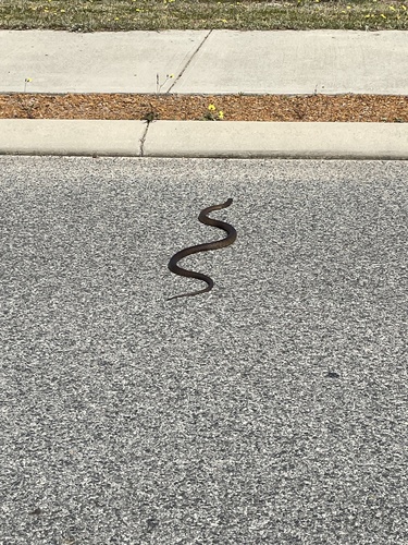
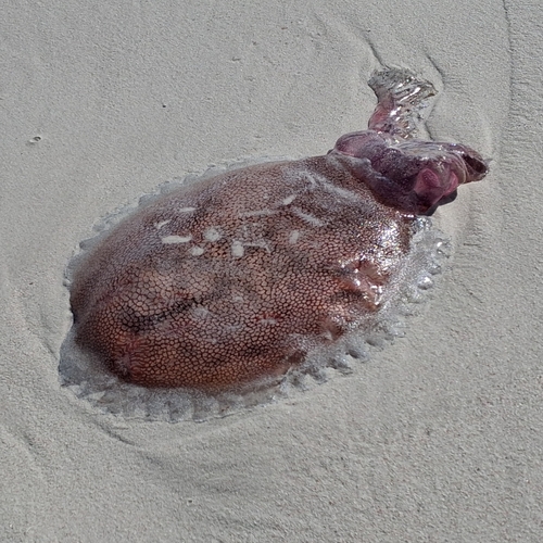
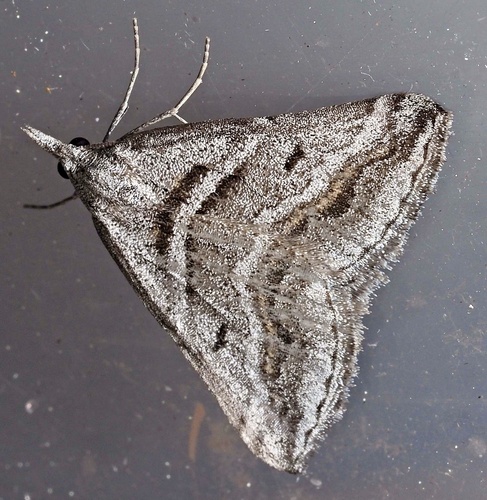
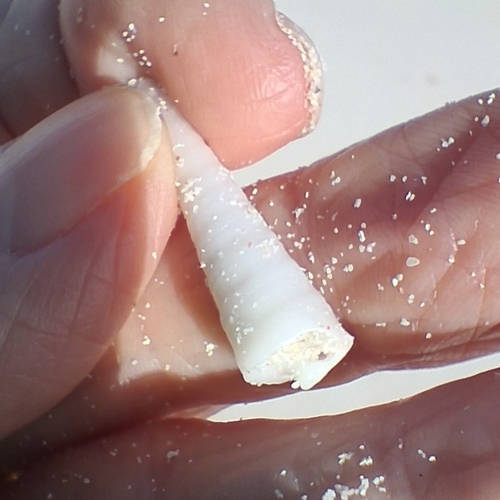
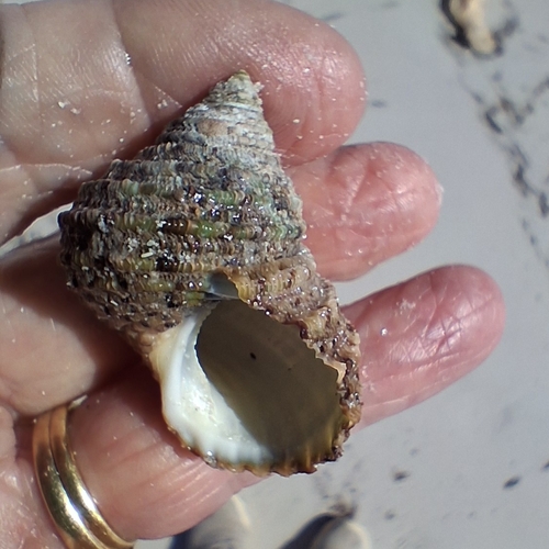
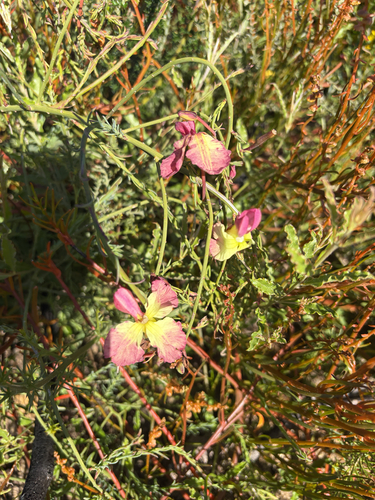
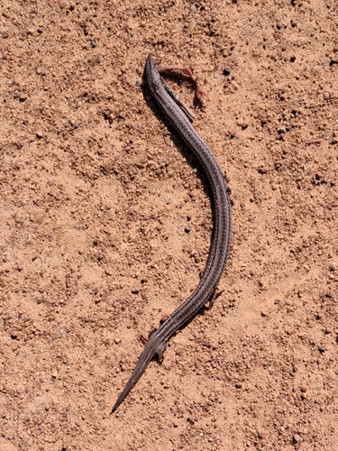
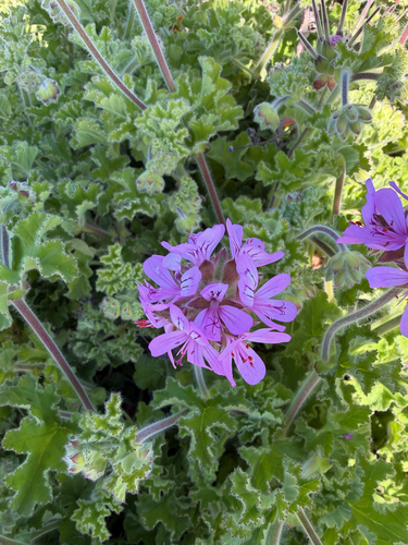
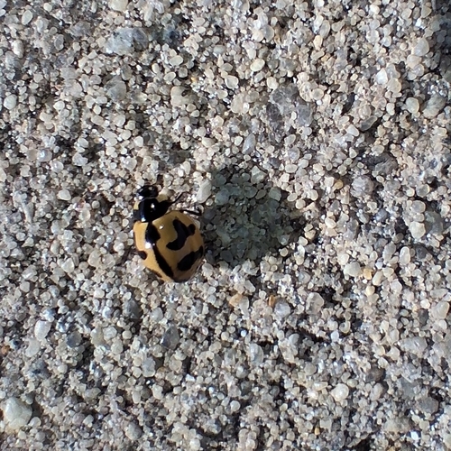
Research-grade observations from iNaturalist (within ~15 mi).
Events
Gallery
Sources
- • Wikipedia
- • Wikidata
- • iNaturalist
- • Open-Meteo / sunrise-sunset.org
- • Wikipedia Pageviews API
- • Open Library