Browse / Australia / Tasmania / Launceston
Launceston
Tasmaniacity

Launceston
Total population
80,943
Founded
1806
Air quality index
Demographic figures from Australian Bureau of Statistics. Overview below cites Wikipedia and may reference a different year.
City facts
Facts from Wikidata (CC0).
Overview
Launceston is a city in the north of Tasmania, Australia, at the confluence of the North Esk and South Esk rivers where they become the River Tamar (kanamaluka). As of 2021, the Launceston urban area has a population of 90,953. Launceston is the second most populous city in Tasmania after the state capital, Hobart. As of 2020, Launceston is the 18th largest city in Australia. Launceston is the fifth-largest inland city and the ninth-largest non-capital city in Australia. Launceston is regarded as the most livable regional city, and was one of the most popular regional cities to move to in Australia from 2020 to 2021. Launceston was named Australian Town of the Year in 2022.
Read more on WikipediaHistory & geography
History
The first inhabitants of the area of Launceston were largely nomadic Aboriginal Tasmanians believed to have been part of the Northern Midlands Nations. Three Nations made up the area around so called Launceston, the Stoney Creek Nation, Tyerenotepanner; Panninher and Lettermairrener. The first White explorers arrived in 1798, when George Bass and Matthew Flinders were sent to explore the possibility that there was a strait between Australia and Van Diemen's Land, now Tasmania. They originally landed in Port Dalrymple at the mouth of the Tamar River, to the north-west of Launceston. The first significant colonial settlement in the region dates from 1804, when the commandant of the colonial garrison. Lt. Col. William Paterson, and his men set up a camp on the current site of George Town. A few weeks later, the settlement was moved across the river to York Town. In 1805, they moved to where Launceston stands. Initially, the settlement was called Patersonia. Paterson later changed the name to Launceston in honour of the New South Wales Governor Captain Philip Gidley King, who was born in Launceston, Cornwall. Extensive archeological evidence suggests that occupation and usage of the Tamar basin can be dated from at least 7,000 years ago, although it was likely used as long as 35,000 years ago. The Letteremairrener, as seasonal hunter-gatherers, spent the winter months near George Town and the summer months residing on Ben Lomond, before returning to the banks of the Tamar River for the mutton-bird season. Campbell Macknight characterizes early colonial contact with the Letteremairrener people as a mixture of fear, curiosity and aggression. After several aggressive encounters prompted by bands of Letteremairrener in 1806, most likely as revenge for the colonists…
Geography
Launceston is at in the Tamar Valley, Northern Tasmania. The valley was formed by volcanic and glacial forces over 10 million years ago. The city is about south of the Bass Strait, with its closest neighbour-city being Devonport, about to the north west. Launceston combines steep, originally heavily wooded ridges, and low-lying areas, originally wetlands – with parts of the suburbs of Inveresk and Invermay below high-tide level. As a result, areas of Launceston are subject to landslip problems. Others areas are liable to poor drainage and periodic flooding. The topography of the area is not conducive to easy dispersion of airborne pollution, due to the phenomenon of thermal inversion. Since the 1990s, Launceston's air quality has improved. A 2007 study indicated that 73% percent of air pollution in Launceston and surrounding areas during the winter period was caused by wood smoke, while about 8% was from motor vehicle pollution. During the early 1990s about 60% of households used wood heaters, but since the mid-2000s only 25–30% of households use wood heating. In the 2011 Tasmanian Air Monitoring report, particulate matter met the Air NEPM goals starting in 2006, and did not exceed the PM10 standard in the years 2009–2011. Launceston is situated at the confluence of the South Esk River and the North Esk River, forming the Tamar River estuary. It is used for commercial and recreational shipping and boating. In earlier years, oceangoing shipping used the river to obtain access to the Port of Launceston wharves located in the city centre and Invermay. The Port for Launceston is now located at the George Town suburb of Bell Bay, some downstream on the east bank of the Tamar estuary, close to the river mouth. The South Esk River is the longest river in…
Excerpted from the corresponding Wikipedia article (CC BY-SA).
Geography
Coordinates & boundaries from the US Census TIGER/Line shapefiles.
Climate
Air quality
Current readings from Open-Meteo Air Quality API (Copernicus CAMS European reanalysis).
Walkability
Amenities nearby
Wildlife & biodiversity
Most-observed species
- Masked LapwingVanellus miles (Boddaert, 1783) · Aves4,125
- Superb FairywrenMalurus cyaneus (Ellis, 1782) · Aves3,430
- Eurasian BlackbirdTurdus merula Linnaeus, 1758 · Aves3,371
- Forest RavenCorvus tasmanicus Mathews, 1912 · Aves3,311
- Tasmanian nativehenGallinula mortierii (Du Bus de Gisignies, 1840) · Aves3,017
- Gray FantailRhipidura albiscapa Gould, 1840 · Aves2,911
- European StarlingSturnus vulgaris Linnaeus, 1758 · Aves2,782
- Welcome SwallowHirundo neoxena Gould, 1842 · Aves2,683
Citizen-science & research observations from the Global Biodiversity Information Facility (GBIF).
Earthquake history
Most recent
- M 4.3 — 2004-11-1837 km SW of Sheffield, Australia
- M 3.2 — 2002-07-2247 km NE of Scottsdale, Australia
- M 4.7 — 2002-06-1546 km NNE of Bagdad, Australia
Events from the USGS Earthquake Catalog (global) (FDSN Event Web Service).
Photos
Sights & places nearby
Notable people from here


People born within ~10 km, from Wikidata (CC0). Click any name for their Wikipedia article.
Nearby places in Tasmania
Geography & sun
Elevation, sunrise/sunset and daylight from Open-Meteo. Solar climatology from NASA POWER.
Nearby airports
Public attention
Pageview totals from the Wikimedia Pageviews API.
Books about Launceston

Search results from Open Library.
Recent natural events nearby
Ground air-quality sensors
Recently spotted species
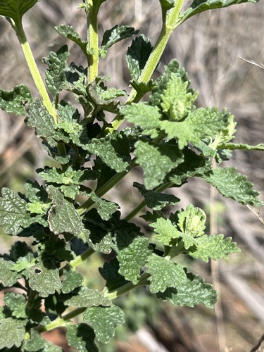
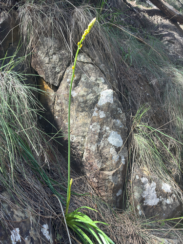
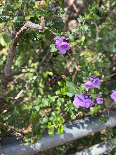
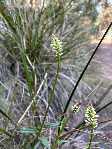
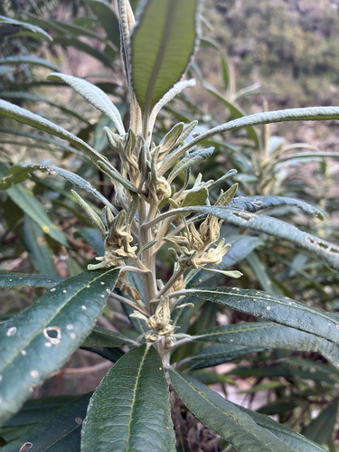
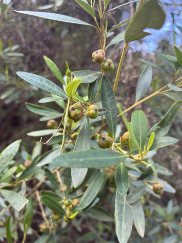
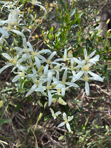
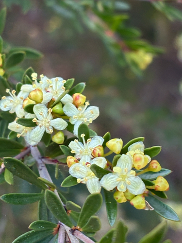
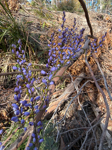
Research-grade observations from iNaturalist (within ~15 mi).
Events
Gallery
Geotagged photos within ~6 miles of Launceston, from Wikimedia Commons contributors.
 0 mi
0 mi_(launceston)_2015-08-28_13H02M49S000.jpg) 0 mi
0 mi_(launceston)_2015-08-28_13H02M49S000.jpg) 0 mi
0 mi_(launceston)_2015-08-28_13H02M49S000.jpg) 0 mi
0 mi_(launceston)_2015-08-28_13H02M49S000.jpg) 0 mi
0 mi_(launceston)_2015-08-28_13H02M49S000.jpg) 0 mi
0 mi_(launceston)_2015-08-28_13H02M50S000.jpg) 0 mi
0 mi_(launceston)_2015-08-28_13H02M50S000.jpg) 0 mi
0 mi_(launceston)_2015-08-28_13H02M50S000.jpg) 0 mi
0 mi 0.1 mi
 0.1 mi
 0.1 mi
 0.1 mi
 0.1 mi
 0.1 mi
 0.1 mi
 0.1 mi
 0.1 mi
 0.1 mi
 0.1 mi
 0.1 mi
 0.1 mi
 0.1 mi
 0.1 mi
Photos via Wikimedia Commons — see each image page for license & attribution.
Sources
- • Wikipedia
- • Wikimedia Commons
- • Wikidata
- • Open-Meteo Air Quality (CAMS)
- • USGS Earthquake Catalog (global feed)
- • GBIF (Global Biodiversity Information Facility)
- • iNaturalist
- • Open-Meteo / sunrise-sunset.org
- • Wikipedia Pageviews API
- • Open Library