Browse / Australia / New South Wales / Leeton
Leeton
New South Walestown

Leeton
Total population
7,437
Air quality index
Demographic figures from Australian Bureau of Statistics. Overview below cites Wikipedia and may reference a different year.
City facts
Facts from Wikidata (CC0).
Overview
Leeton is a town in the Riverina region of New South Wales, Australia. It is situated in the Murrumbidgee Irrigation Area. It is the administrative centre of the Leeton Shire Council local government area, which includes neighbouring suburbs, towns and localities such as Yanco, Wamoon, Whitton, Gogeldrie, Stanbridge and Murrami.
Read more on WikipediaHistory & geography
History
Prior to European colonisation, the area was inhabited by the Wiradjuri people. The town is named after Charles Alfred Lee, a Minister for Public Works in New South Wales from 1904 to 1910. In 1912 a water tower was built to supply water to the town. Leeton Post Office opened on 6 September 1912. When the Water Conservation and Irrigation Commission of New South Wales was formed on 1 January 1913, Leeton was a canvas town, with the only houses being on farms built by settlers or the Commission-built homes for officers. On 22 January 1913, under the provisions of the [https://legislation.nsw.gov.au/view/pdf/asmade/act-1884-35a Crown Lands Act of 1884], Leeton was declared a town by the Department of Lands, Sydney. The first block of land was sold in the town April 3, 1913. In1913, a Kurrajong tree (later known as Pioneers' Tree), was planted as a central feature on the eponymous Kurrajong Avenue, and a butter factory was established in the town. In August of the same year, Walter Burley Griffin visited the town to complete its design. In 1914, World War I broke out; of the town's population of 2,000 people, 200 men were serving in the military. During 1914 and 1915 an abattoir and canning factory were established in the town. During 1920, the Water Conservation and Irrigation Commission of New South Wales began to pressure the Government for relief for being responsible for providing civic and local government services with the Commission stating "revenue which comes mainly from rents and water charges, having remained unchanged, is insufficient to cover the cost of local government services now that the weekly wage is more than double the figure paid when the settlement started". The Commission chose and appointed an advisory board which was made up of pioneer…
Excerpted from the corresponding Wikipedia article (CC BY-SA).
Geography
Coordinates & boundaries from the US Census TIGER/Line shapefiles.
Climate
10-year averages from ERA5 reanalysis (Open-Meteo).
Air quality
Current readings from Open-Meteo Air Quality API (Copernicus CAMS European reanalysis).
Walkability
Amenities nearby
Wildlife & biodiversity
Most-observed species
- Pacific Black DuckAnas superciliosa J.F.Gmelin, 1789 · Aves896
- Magpie-larkGrallina cyanoleuca (Latham, 1802) · Aves881
- koalaPhascolarctos cinereus (Goldfuss, 1817) · Mammalia877
- Australian MagpieGymnorhina tibicen (Latham, 1802) · Aves777
- Crested PigeonOcyphaps lophotes (Temminck, 1822) · Aves733
- White-faced HeronEgretta novaehollandiae (Latham, 1790) · Aves677
- GalahEolophus roseicapilla (Vieillot, 1817) · Aves674
- Gray TealAnas gracilis Buller, 1869 · Aves642
Citizen-science & research observations from the Global Biodiversity Information Facility (GBIF).
Earthquake history
Most recent
- M 2.7 — 2002-03-042 km W of West Wyalong, Australia
Events from the USGS Earthquake Catalog (global) (FDSN Event Web Service).
Photos
Sights & places nearby
Notable people from here


People born within ~10 km, from Wikidata (CC0). Click any name for their Wikipedia article.
Nearby places in New South Wales
Geography & sun
Elevation, sunrise/sunset and daylight from Open-Meteo. Solar climatology from NASA POWER.
Nearby airports
Public attention
Pageview totals from the Wikimedia Pageviews API.
Books about Leeton

Search results from Open Library.
Recent natural events nearby
Ground air-quality sensors
Recently spotted species
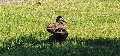
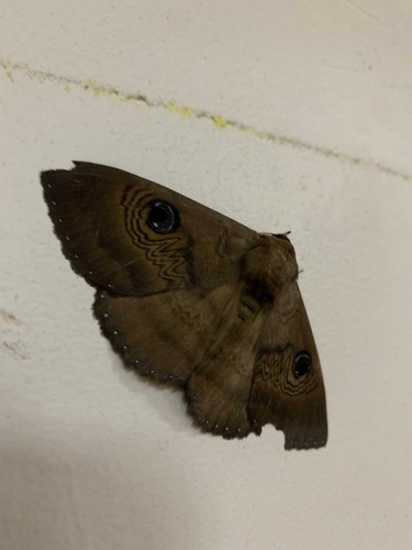
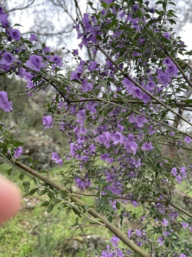
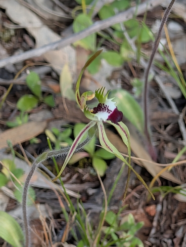
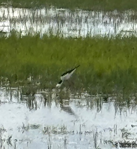
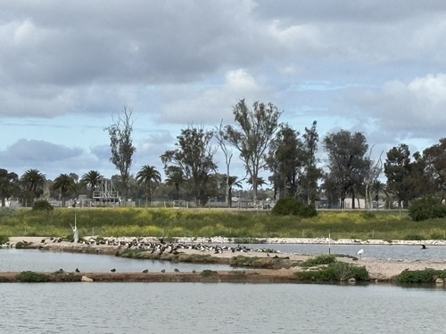
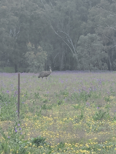
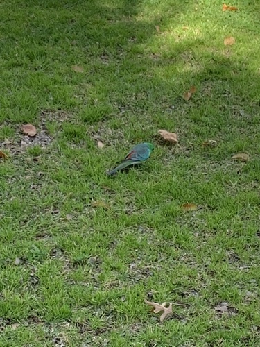
Research-grade observations from iNaturalist (within ~15 mi).
Events
Gallery
Sources
- • Wikipedia
- • Open-Meteo (ERA5 reanalysis)
- • Wikidata
- • Open-Meteo Air Quality (CAMS)
- • USGS Earthquake Catalog (global feed)
- • GBIF (Global Biodiversity Information Facility)
- • iNaturalist
- • Open-Meteo / sunrise-sunset.org
- • Wikipedia Pageviews API
- • Open Library