Browse / Australia / New South Wales / Leighwood
Leighwood
New South Waleshamlet
Demographic figures from Australian Bureau of Statistics. Overview below cites Wikipedia and may reference a different year.
City facts
Overview
Found in New South Wales, Australia, Leighwood is classified as a hamlet in public datasets. Located at -34.198°, 149.626°, Leighwood occupies a warm-temperate portion of the southern hemisphere. Up-to-date population figures for this locality are not available in the open datasets we monitor. The location receives about 1,796 kWh/m² of solar irradiance per year and sunshine for roughly 70% of daylight hours. The latitude suggests warm summers and cool winters. Meteorological summaries report average highs near 64.9°F and lows near 46.4°F, together with about 29.7 in of annual precipitation (a moderate total). Read on for charts and tables covering demographics, climate, hazards, schools, wildlife and other open-data indicators for Leighwood.
Summary composed automatically from structured open data on this page. See our Terms for details.
History & geography
Geography
Coordinates & boundaries from the US Census TIGER/Line shapefiles.
Climate
10-year averages from ERA5 reanalysis (Open-Meteo).
Air quality
Walkability
Amenities nearby
Wildlife & biodiversity
Most-observed species
- eastern grey kangarooMacropus giganteus Shaw, 1790 · Mammalia1,192
- swamp wallabyWallabia bicolor (Desmarest, 1804) · Mammalia1,107
- common wombatVombatus ursinus (Shaw, 1800) · Mammalia638
- Red-necked WallabyNotamacropus rufogriseus (Desmarest, 1817) · Mammalia452
- domestic goatCapra hircus Linnaeus, 1758 · Mammalia421
- common brushtail possumTrichosurus vulpecula (Kerr, 1792) · Mammalia405
- fallow deerDama dama (Linnaeus, 1758) · Mammalia402
- red foxVulpes vulpes (Linnaeus, 1758) · Mammalia265
Citizen-science & research observations from the Global Biodiversity Information Facility (GBIF).
Earthquake history
Most recent
- M 4.4 — 2026-03-1117 km ENE of Boorowa, Australia
- M 3.6 — 2025-05-283 km WNW of Cobbitty, Australia
- M 3.5 — 2024-03-0814 km SSW of Woodford, Australia
- M 3 — 2020-11-2027 km S of Oberon, Australia
- M 4.2 — 2017-04-1323 km WSW of Millthorpe, Australia
- M 3.8 — 2012-06-2223 km N of Boorowa, Australia
Events from the USGS Earthquake Catalog (global) (FDSN Event Web Service).
Photos
Sights & places nearby
Notable people from here
Nearby places in New South Wales
Geography & sun
Elevation, sunrise/sunset and daylight from Open-Meteo. Solar climatology from NASA POWER.
Nearby airports
Public attention
Books about this place
Recent natural events nearby
Ground air-quality sensors
Recently spotted species
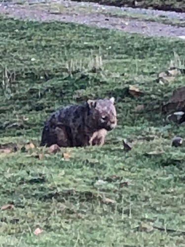
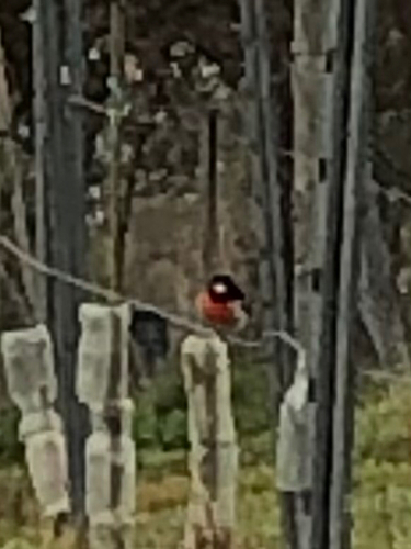
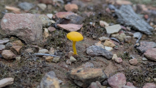
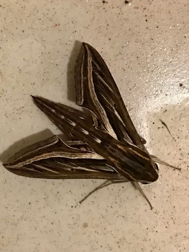
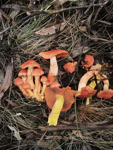

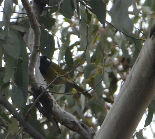
Research-grade observations from iNaturalist (within ~15 mi).
Events
Gallery
Sources
- • Open-Meteo (ERA5 reanalysis)
- • Wikidata
- • USGS Earthquake Catalog (global feed)
- • GBIF (Global Biodiversity Information Facility)
- • iNaturalist
- • Open-Meteo / sunrise-sunset.org