Browse / Australia / New South Wales / Lionsville
Lionsville
New South Waleshamlet
Demographic figures from Australian Bureau of Statistics. Overview below cites Wikipedia and may reference a different year.
City facts
Overview
Lionsville, a hamlet in New South Wales, Australia, forms part of the country's settled landscape. No reliable population estimate is published for this entry in the open data we rely on. Its coordinates of -29.202°, 152.489° place it in the subtropical zone of the southern hemisphere. Open solar datasets indicate about 1,823 kWh/m² of solar irradiance per year, combined with sunshine for roughly 71% of daylight hours. The latitude suggests hot summers and mild winters typical of the subtropics. Additional figures on demographics, climate, geography and points of interest appear in the sections that follow, all drawn from open public datasets.
Summary composed automatically from structured open data on this page. See our Terms for details.
History & geography
Geography
Coordinates & boundaries from the US Census TIGER/Line shapefiles.
Climate
Air quality
Walkability
Amenities nearby
Wildlife & biodiversity
Most-observed species
- Tropical Soda AppleSolanum viarum Dunal · Magnoliopsida184
- Greater GliderPetauroides volans (Kerr, 1792) · Mammalia103
- Brown antechinusAntechinus stuartii Macleay, 1841 · Mammalia92
- koalaPhascolarctos cinereus (Goldfuss, 1817) · Mammalia53
- Australian Bush RatRattus fuscipes (Waterhouse, 1839) · Mammalia52
- Largeleaf LantanaLantana camara L. · Magnoliopsida48
- Speckled OrbweaverAraneus circulissparsus (Keyserling, 1887) · Arachnida47
- Brush TurpentineRhodamnia rubescens (Benth.) Miq. · Magnoliopsida46
Citizen-science & research observations from the Global Biodiversity Information Facility (GBIF).
Earthquake history
Events from the USGS Earthquake Catalog (global) (FDSN Event Web Service).
Photos
Sights & places nearby
Notable people from here
Nearby places in New South Wales
Geography & sun
Elevation, sunrise/sunset and daylight from Open-Meteo. Solar climatology from NASA POWER.
Nearby airports
Public attention
Pageview totals from the Wikimedia Pageviews API.
Books about this place
Recent natural events nearby
Ground air-quality sensors
Recently spotted species
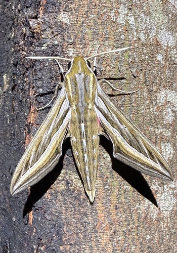
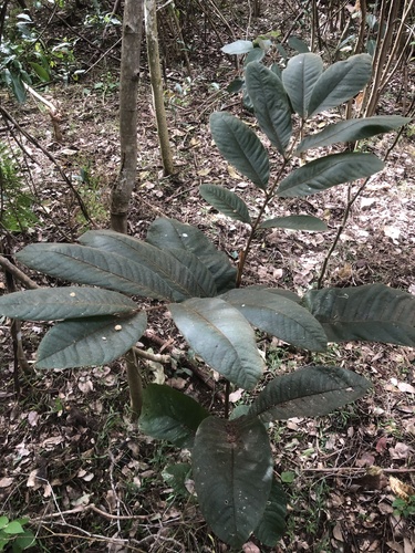
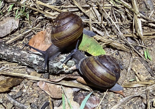
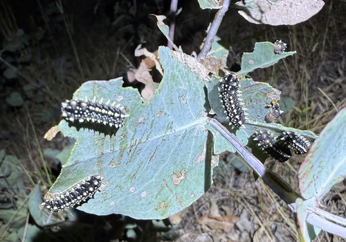
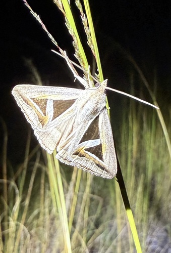
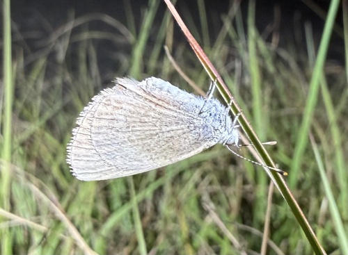
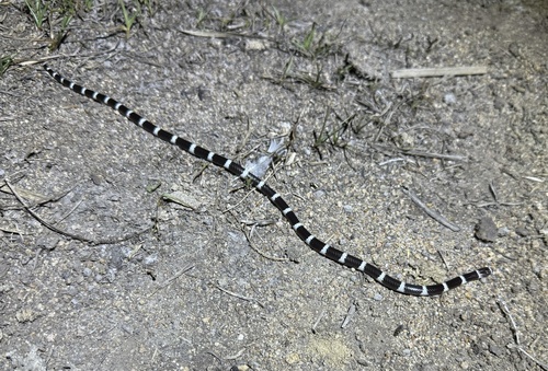
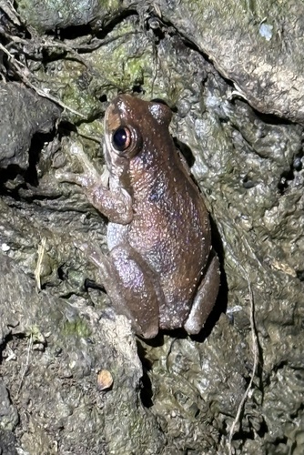
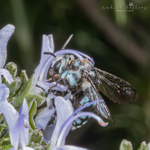
Research-grade observations from iNaturalist (within ~15 mi).
Events
Gallery
Official Identifiers
ABS — Australian Bureau of Statistics
- ASGS 2021
- SAL12351
- Population (Wikidata)
- 5
- Wikidata
- Q55072199
ASGS 2021 ID via Wikidata P10112
Sources
- • Wikidata
- • USGS Earthquake Catalog (global feed)
- • GBIF (Global Biodiversity Information Facility)
- • iNaturalist
- • Open-Meteo / sunrise-sunset.org
- • Wikipedia Pageviews API
- • ABS — Australian Bureau of Statistics — ASGS 2021 ID via Wikidata P10112