Browse / Australia / Queensland / Longreach
Longreach
Queenslandtown

Longreach
Total population
2,738
Demographic figures from Australian Bureau of Statistics. Overview below cites Wikipedia and may reference a different year.
City facts
Overview
Longreach is a rural town and locality in the Longreach Region, Queensland, Australia. It is the administrative centre of the Longreach Regional Council, which was established in 2008 as a merger of the former Longreach, Ilfracombe, and Isisford shires. Longreach is a tourist destination due to its museums. In the 2021 census, the locality of Longreach had a population of 3,124 people.
Read more on WikipediaHistory & geography
History
Longreach lies within the traditional tribal lands of the Iningai people. Iningai (also known as Yiningay, Muttaburra, Tateburra, Yinangay, Yinangi) is an Australian Aboriginal language spoken by the Iningai people. The Iningai language region includes the landscape within the local government boundaries of the Longreach Region, particularly the towns of Longreach, Barcaldine, Muttaburra and Aramac as well as the properties of Bowen Downs and catchments of Cornish Creek and Alice River. Kuungkari (also known as Kungkari and Koonkerri) is a language of Western Queensland. The Kuungkari language region includes the landscape within the local government boundaries of Longreach Shire Council and Blackall-Tambo Shire Council. The first Europeans to enter the area were part of the expedition led by William Landsborough in 1862. This party initially tried to intimidate the resident Iningai by galloping their horses at them and shooting over their heads, but the Iningai were undeterred. Through an Aboriginal Native Police trooper named Jemmy who accompanied Landsborough and spoke the Iningai language, they were able to communicate with the Iningai and were told the geography of the region and shown the best roads to travel by. An Iningai man named Wittin acted as their guide. In 1862, the enormous Bowen Downs cattle station was established across the region by William Landsborough, Nathaniel Buchanan and Edward Cornish, with the financial backing of Robert Morehead and Matthew Young of the Scottish Australian Investment Company. In 1872, Bowen Downs was divided into two huge properties, the section along the Thomson River being named Mount Cornish, managed by Edward R. Edkins. An outstation of this Mount Cornish cattle station was called Longreach, because it was situated…
Geography
Longreach is in Central West Queensland, approximately from the coast, west of Rockhampton. The town is on the Tropic of Capricorn in the south-east of the locality. The town is named after the ‘long reach’ of the Thomson River on which it is situated. Lochern National Park is in the south-western part of the locality (formerly in Vergemont). The main industries of the area are cattle, sheep, and, more recently, tourism. The Landsborough Highway enters the locality from the south-east (Ilfracombe), passes through the town and then exits to the north-west (Corfield). The Central Western railway line takes the same route, the town being served by the Longreach railway station. The Thomson Developmental Road commences at the town and passes through the south-east of the locality (briefly passing through the westernmost part of Ilfracombe) before exiting to the south (Stonehenge). The main business street is called Eagle Street. Other streets honour Hudson Fysh, an Australian aviation pioneer, and Sir James Walker, a farmer and long-serving mayor of the former Longreach Shire Council.
Excerpted from the corresponding Wikipedia article (CC BY-SA).
Geography
Coordinates & boundaries from the US Census TIGER/Line shapefiles.
Climate
Air quality
Walkability
Amenities nearby
Wildlife & biodiversity
Most-observed species
- Black KiteMilvus migrans (Boddaert, 1783) · Aves414
- Magpie-larkGrallina cyanoleuca (Latham, 1802) · Aves376
- Crested PigeonOcyphaps lophotes (Temminck, 1822) · Aves376
- Willie-wagtailRhipidura leucophrys (Latham, 1802) · Aves330
- White-plumed HoneyeaterPtilotula penicillata (Gould, 1837) · Aves307
- Whistling KiteHaliastur sphenurus (Vieillot, 1818) · Aves273
- Australian MagpieGymnorhina tibicen (Latham, 1802) · Aves267
- Yellow-throated MinerManorina flavigula (Gould, 1840) · Aves259
Citizen-science & research observations from the Global Biodiversity Information Facility (GBIF).
Earthquake history
Events from the USGS Earthquake Catalog (global) (FDSN Event Web Service).
Photos
Sights & places nearby
Notable people from here
Geography & sun
Elevation, sunrise/sunset and daylight from Open-Meteo. Solar climatology from NASA POWER.
Nearby airports
Public attention
Pageview totals from the Wikimedia Pageviews API.
Books about this place
Recent natural events nearby
Ground air-quality sensors
Recently spotted species
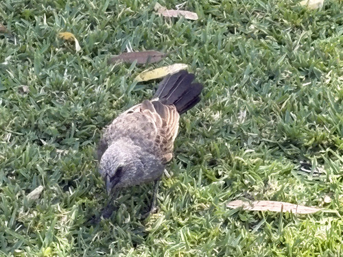
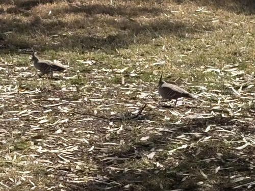
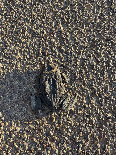
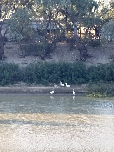
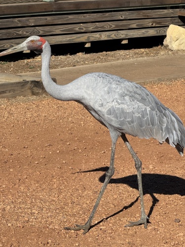
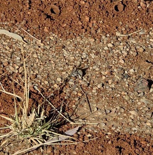
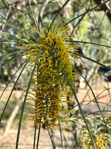
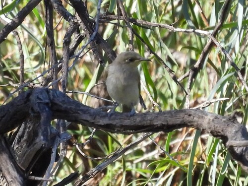
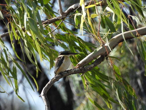
Research-grade observations from iNaturalist (within ~15 mi).
Events
Gallery
Sources
- • Wikipedia
- • USGS Earthquake Catalog (global feed)
- • GBIF (Global Biodiversity Information Facility)
- • iNaturalist
- • Open-Meteo / sunrise-sunset.org
- • Wikipedia Pageviews API