Browse / Australia / Victoria / Majorca
Majorca
Victoriavillage

Majorca
Total population
86
Demographic figures from Australian Bureau of Statistics. Overview below cites Wikipedia and may reference a different year.
City facts
Overview
Majorca is a locality in central Victoria, Australia. The locality is in the Shire of Central Goldfields, 11 kilometres (6.8 mi) south of Maryborough and 171 kilometres (106 mi) north west of the state capital, Melbourne. At the 2006 census, Majorca and the surrounding rural area had a population of 387. By the time of the 2016 census the population had declined to 211.
Read more on WikipediaHistory & geography
History
Majorca was founded in 1863—towards the end of the Victorian gold rush—after two prospectors struck gold at nearby McCallum's Creek. Two months later, there were 250 stores and restaurants catering to a population of around three to four thousand, although many shops and residents soon returned to nearby Maryborough. The town was sustained for over 50 years through gold mining, including the Kong Meng Mine. It is now a rural area consisting mainly of farmland and the Tullaroop Reservoir which helps provide water to Maryborough.
Excerpted from the corresponding Wikipedia article (CC BY-SA).
Geography
Coordinates & boundaries from the US Census TIGER/Line shapefiles.
Climate
10-year averages from ERA5 reanalysis (Open-Meteo).
Air quality
Walkability
Amenities nearby
Wildlife & biodiversity
Most-observed species
- Australian MagpieGymnorhina tibicen (Latham, 1802) · Aves2,027
- Red WattlebirdAnthochaera carunculata (Shaw, 1790) · Aves1,313
- Superb FairywrenMalurus cyaneus (Ellis, 1782) · Aves1,230
- White-plumed HoneyeaterPtilotula penicillata (Gould, 1837) · Aves1,193
- GalahEolophus roseicapilla (Vieillot, 1817) · Aves1,186
- Welcome SwallowHirundo neoxena Gould, 1842 · Aves1,034
- Little RavenCorvus mellori Mathews, 1912 · Aves1,028
- Willie-wagtailRhipidura leucophrys (Latham, 1802) · Aves929
Citizen-science & research observations from the Global Biodiversity Information Facility (GBIF).
Earthquake history
Most recent
- M 2.7 — 2007-12-0938 km SE of Charlton, Australia
- M 2.8 — 2003-02-029 km N of Trentham, Australia
- M 2.7 — 2001-12-3110 km SW of Kilmore, Australia
Events from the USGS Earthquake Catalog (global) (FDSN Event Web Service).
Photos
Sights & places nearby
Notable people from here


People born within ~10 km, from Wikidata (CC0). Click any name for their Wikipedia article.
Nearby places in Victoria
- Carisbrook4.4 mi away · pop. 920
- Strathlea9.2 mi away
- Bowenvale9.6 mi away · pop. 92
- Campbelltown10.3 mi away
- Clunes12.7 mi away · pop. 886
- Sandon13.8 mi away
- Welshman's Reef13.9 mi away
- Newstead14.6 mi away · pop. 656
- Strangways15.4 mi away
- Bromley16.1 mi away
- Green Gully16.3 mi away
- Maldon16.9 mi away · pop. 1,381
Geography & sun
Elevation, sunrise/sunset and daylight from Open-Meteo. Solar climatology from NASA POWER.
Nearby airports
Public attention
Pageview totals from the Wikimedia Pageviews API.
Books about Majorca
Search results from Open Library.
Recent natural events nearby
Ground air-quality sensors
Recently spotted species
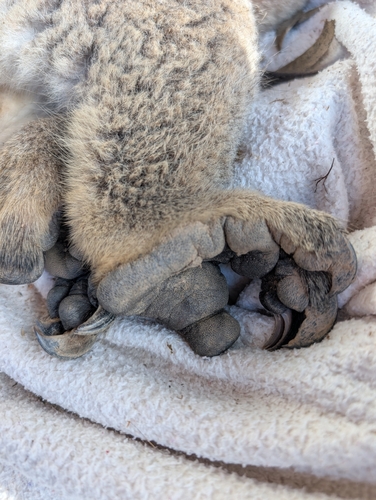
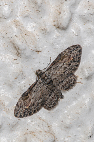
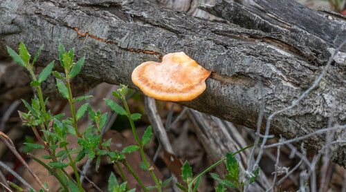
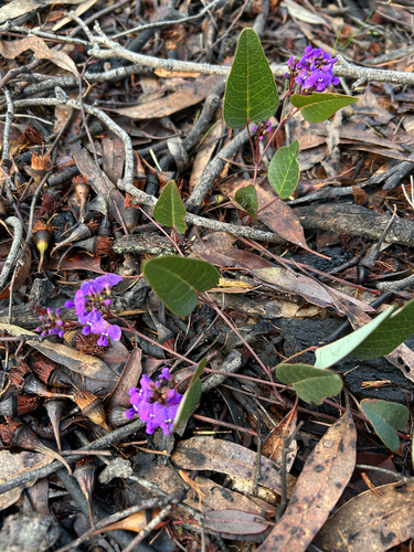
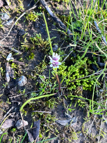
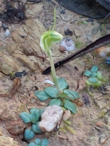
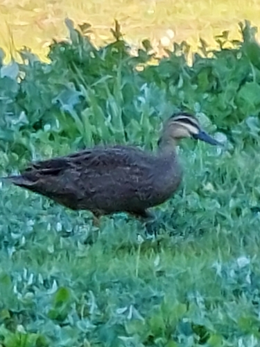
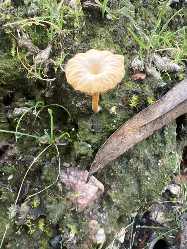
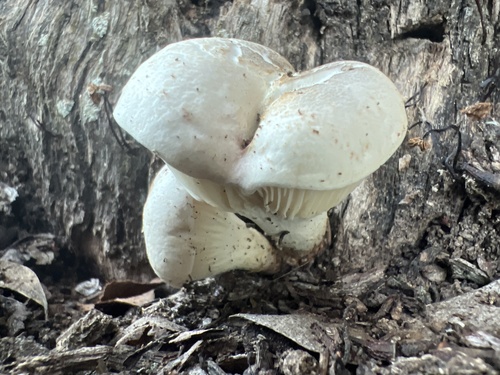
Research-grade observations from iNaturalist (within ~15 mi).
Events
Gallery
Official Identifiers
ABS — Australian Bureau of Statistics
- ASGS 2021
- SAL21582
- Population (Wikidata)
- 198
- Wikidata
- Q3843610
ASGS 2021 ID via Wikidata P10112
Sources
- • Wikipedia
- • Open-Meteo (ERA5 reanalysis)
- • Wikidata
- • USGS Earthquake Catalog (global feed)
- • GBIF (Global Biodiversity Information Facility)
- • iNaturalist
- • Open-Meteo / sunrise-sunset.org
- • Wikipedia Pageviews API
- • Open Library
- • ABS — Australian Bureau of Statistics — ASGS 2021 ID via Wikidata P10112