Browse / Australia / Queensland / Maleny
Maleny
Queenslandtown

Maleny
Total population
2,976
Demographic figures from Australian Bureau of Statistics. Overview below cites Wikipedia and may reference a different year.
City facts
Facts from Wikidata (CC0).
Overview
Maleny is a rural town and locality in the Sunshine Coast Region, Queensland, Australia. Maleny was a timber town until the early 1920s and then was a centre of dairy production and fruit growing. In the 2021 census, the locality of Maleny had a population of 3,959 people.
Read more on WikipediaHistory & geography
History
The name Maleny is probably derived from the parish name, which in turn is possibly derived from the Scottish place name Malleny, a historic house and garden in the Midlothian village of the same name. The area was known for its bunya feasts which happened every third year when the giant bunya tree was in fruit. The first European to document Maleny was the explorer Ludwig Leichhardt who describes the area in his travel diary in 1844. The first European settlement followed in the wake of the Gympie gold rush of 1867. A track linking Maleny to Landsborough was cut in 1880. An official proclamation of Maleny as a town occurred in 1891. The Maleny Butter Factory began operation in 1904. Maleny Township State School opened on 22 April 1913. In 1915 its name was changed to Maleny State School. Maleny State High School opened 27 January 1987. Maleny Baptist Church opened in July 1914. The Maleny branch of the Queensland Country Women's Association was formed in 1929. St George's Anglican Church was dedicated on 6 September 1931 by Archbishop Sharp. It had been relocated from the Beerburrum Soldier Settlement where it was dedicated (also as St George's) on 20 August 1922 by Canon D.J. Garland, but it fell into disuse due to the failure of the settlement and was formally closed in August 1931 prior to its removal to Maleny. The building was originally built as a chapel at the Enoggera army barracks during World War I by the Soldiers' Church of England Help Society. Many of the furnishings and ornaments of the church were donated in memory of soldiers who had died, including the altar and its furnishings which were donated in the member of Earl Kitchener. Although a campaign to have a police station in the town was started in the 1920s, it wasn't until 1952 that…
Geography
Maleny is north of Brisbane on the Blackall Range overlooking the Sunshine Coast hinterland. Nearby towns include Landsborough, Montville, Peachester, Palmwoods and Hunchy. Nearby places of geographical significance include the Glass House Mountains and Baroon Pocket Dam (in North Maleny). Baroon Pocket Dam constructed in 1989 is fed by the Obi Obi Creek, a significant tributary of the upper Mary River, which drains the basalt capped Maleny plateau. Water runoff statistics have been kept in this area since the 1940s showing that the average annual rainfall is and the runoff into Baroon Pocket Dam receives annually about 64,000 megalitres. The Baroon Pocket Dam holds about 61,000 megalitres of water and the treatment plant supplies about 150 megalitres of treated water to the Sunshine Coast daily. Maleny is situated approximately above sea level, among the characteristic rolling green hills of the Sunshine Coast hinterland. Prior to European settlement, the area was covered in thick sub-tropical rainforest with huge hardwood trees. Loggers in the late 19th and early 20th centuries opened up the area seeking valuable timber, which was prized locally and in Europe. Heavy logging led to the almost complete denuding of the rainforest clad hills in the district around Maleny. Only a few pockets of forest remain in steeper terrain and in one large remnant patch (around ) which now forms Mary Cairncross Reserve. Landsborough–Maleny Road enters from the east, Maleny–Montville Road exits to the north-east, Maleny–Kenilworth Road exits to the north-west, and Maleny–Stanley River Road exits to the south-west.
Excerpted from the corresponding Wikipedia article (CC BY-SA).
Geography
Coordinates & boundaries from the US Census TIGER/Line shapefiles.
Climate
Air quality
Walkability
Amenities nearby
Wildlife & biodiversity
Earthquake history
Most recent
- M 4.9 — 2025-08-1512 km ESE of Cherbourg, Australia
Events from the USGS Earthquake Catalog (global) (FDSN Event Web Service).
Photos
Sights & places nearby
Notable people from here


People born within ~10 km, from Wikidata (CC0). Click any name for their Wikipedia article.
Geography & sun
Elevation, sunrise/sunset and daylight from Open-Meteo. Solar climatology from NASA POWER.
Nearby airports
Public attention
Pageview totals from the Wikimedia Pageviews API.
Books about Maleny
Search results from Open Library.
Recent natural events nearby
Ground air-quality sensors
Recently spotted species
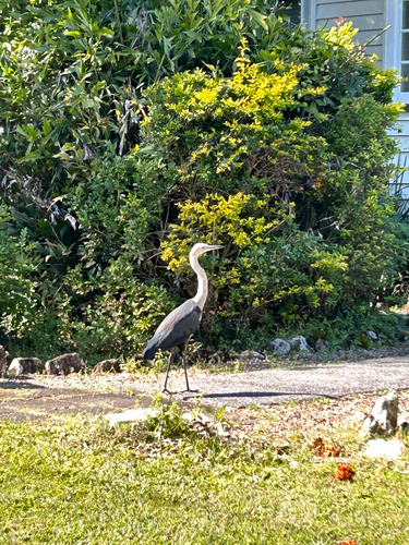
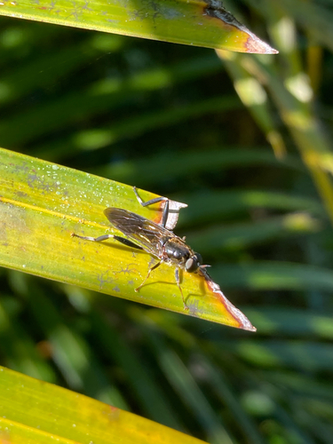
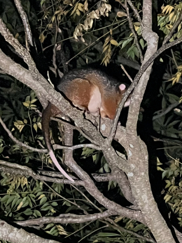
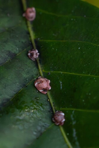
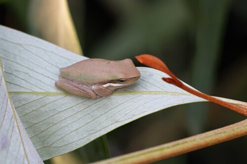
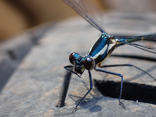
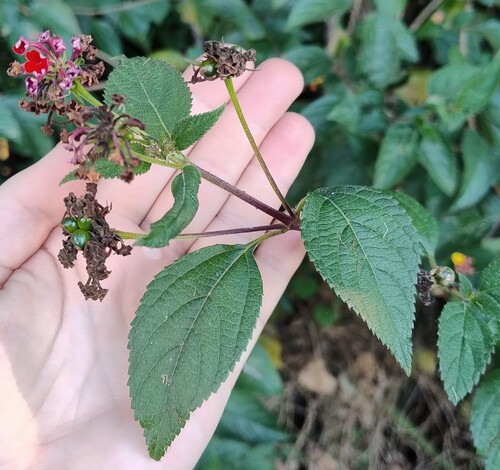
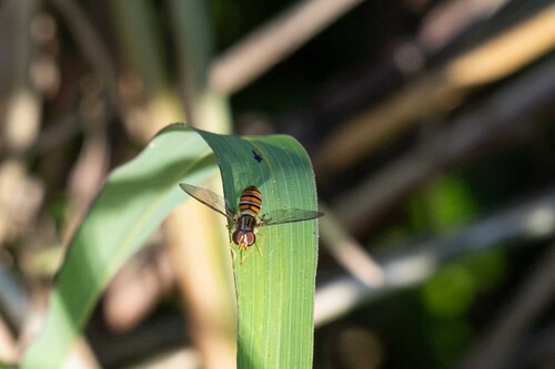
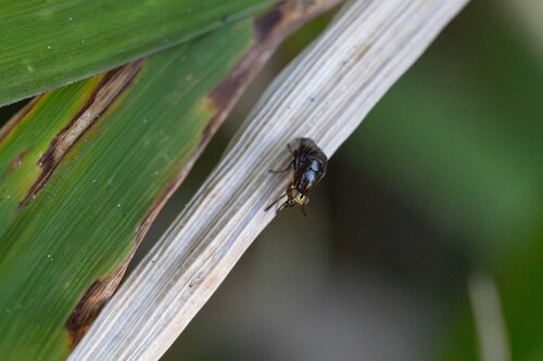
Research-grade observations from iNaturalist (within ~15 mi).
Events
Gallery
Geotagged photos within ~6 miles of Maleny, from Wikimedia Commons contributors.
 0 mi
0 mi 0 mi
0 mi 0 mi
0 mi.jpg) 0 mi
0 mi 0.1 mi
.jpeg) 0.1 mi
0.1 mi.jpeg) 0.1 mi
0.1 mi.jpeg) 0.1 mi
0.1 mi.jpeg) 0.1 mi
0.1 mi.jpeg) 0.1 mi
0.1 mi 0.1 mi
 0.2 mi
 0.2 mi
.jpg) 0.2 mi
0.2 mi 0.3 mi
 0.4 mi
 0.4 mi
 0.7 mi
 0.7 mi
 0.7 mi
.jpg) 0.7 mi
0.7 mi.jpg) 1.2 mi
1.2 mi.jpg) 1.2 mi
1.2 mi.jpg) 1.2 mi
1.2 miPhotos via Wikimedia Commons — see each image page for license & attribution.
Sources
- • Wikipedia
- • Wikimedia Commons
- • Wikidata
- • USGS Earthquake Catalog (global feed)
- • iNaturalist
- • Open-Meteo / sunrise-sunset.org
- • Wikipedia Pageviews API
- • Open Library