Browse / Australia / Victoria / Melton
Melton
Victoriatown

Melton
Total population
76,346
Air quality index
Demographic figures from Australian Bureau of Statistics. Overview below cites Wikipedia and may reference a different year.
City facts
Facts from Wikidata (CC0).
Overview
Melton is a suburb on the outskirts of Melbourne, Victoria. The suburb is located 37 kilometres (23 mi) west of Melbourne's Central Business District on the city's western rural-urban fringe. It is the administrative centre of the City of Melton local government area. As of the 2021 Australian census, the suburb has a population of 7,953.
Read more on WikipediaHistory & geography
History
The land to the east of the Werribee River is the traditional home of the Wurundjeri and Boon Wurrung people, and to the west, the traditional home of the Wadawurrung. Mount Cottrell is jointly managed by Wurundjeri and Boon Wurrung. Melton was first settled by squatters establishing sheep runs in the area in the 1830s and a small settlement benefited from traffic passing through it on the way to the Ballarat gold fields during the Victorian Gold Rush. The post office opened on 1 March 1856. The population of Melton remained stable at around 1,000 - 1,500 until the mid 1950s, rising to 1800 in 1962 and doubling to 3600 in 1968. The first of the larger residential estates was Delphic Realty's Melton Views Estate in 1964. The area was declared a satellite city in 1974. The overall City of Melton is forecast to grow in population by over 250,000 by 2051; however, most of this growth is predicted to happen in the surrounding suburbs, particularly in Aintree, Caroline Springs, and Brookfield; the suburb of Melton itself is only predicted to grow 2% by 2051. Melbourne's significant urban area boundary was redefined to include Melton in 2023, leading to global headlines claiming that Melbourne's population overtook Sydney's. According to census data, the suburb of Melton has had a relatively stable population since being recognised as a separate suburb on the 2006 census, where it had a population of 7,305. The population grew to 7,593 by 2011, then to 8,069 by 2016. The population lowered to 7,953 at the 2021 census.
Geography
Melton is located on mostly flat, largely featureless, former volcanic plains. To the south-east of Melton is Mount Cottrell, a blast-shield volcano, and to the north-east of the suburb is Mount Kororoit. Mount Cottrell produced some of the largest lava flows in the western Victoria. These two volcanoes are some of the easternmost volcanoes on the Victorian Volcanic Plain which extends to the South Australian border. Melton receives less rainfall than Melbourne due to the area's position within the Otway Ranges rain shadow. The area has a profound urban heat island effect due to its ongoing rapid suburban development. There is some concern over how continued development and climate change will affect Melton, with particular concern focused on the loss of several threatened animal species' habitat, and an increased risk of bushfires and extreme weather events in the near future. The Melton City Council has noted that the area is "particularly exposed to the impacts of climate change due to its moderate level of socio-economic disadvantage and large proportion of overseas-born residents", along with "significant structural barriers to participating in low-carbon lifestyles including limited local employment opportunities, lack of access to public transport, and inefficient new housing developments". Precipitation records for Melton follow.
Excerpted from the corresponding Wikipedia article (CC BY-SA).
Geography
Coordinates & boundaries from the US Census TIGER/Line shapefiles.
Climate
10-year averages from ERA5 reanalysis (Open-Meteo).
Air quality
Current readings from Open-Meteo Air Quality API (Copernicus CAMS European reanalysis).
Walkability
Amenities nearby
Wildlife & biodiversity
Most-observed species
- Australian MagpieGymnorhina tibicen (Latham, 1802) · Aves5,021
- Little RavenCorvus mellori Mathews, 1912 · Aves4,131
- Red WattlebirdAnthochaera carunculata (Shaw, 1790) · Aves4,103
- Superb FairywrenMalurus cyaneus (Ellis, 1782) · Aves4,098
- White-plumed HoneyeaterPtilotula penicillata (Gould, 1837) · Aves3,456
- European StarlingSturnus vulgaris Linnaeus, 1758 · Aves3,356
- New Holland HoneyeaterPhylidonyris novaehollandiae (Latham, 1790) · Aves3,207
- Magpie-larkGrallina cyanoleuca (Latham, 1802) · Aves3,026
Citizen-science & research observations from the Global Biodiversity Information Facility (GBIF).
Earthquake history
Most recent
- M 3.8 — 2023-05-285 km W of Mickleham, Australia
- M 2.9 — 2021-11-054 km S of Rosebud, Australia
- M 2.8 — 2015-03-103 km NNE of Pakenham, Australia
- M 3.6 — 2014-12-034 km SW of Pakenham, Australia
- M 2.8 — 2014-01-131 km SSE of Lilydale, Australia
- M 3.1 — 2013-05-017 km NW of Clifton Springs, Australia
Events from the USGS Earthquake Catalog (global) (FDSN Event Web Service).
Photos
Sights & places nearby
Notable people from here


People born within ~10 km, from Wikidata (CC0). Click any name for their Wikipedia article.
Nearby places in Victoria
- Gisborne13.6 mi away · pop. 10,999
- Little River19.9 mi away · pop. 292
- Monegeetta20.8 mi away
- Blackwood21.1 mi away · pop. 381
- Barry's Reef22.4 mi away
- Darraweit Guim25.9 mi away
- Tylden26.5 mi away · pop. 418
- Gordon26.9 mi away · pop. 607
- Lyonville27 mi away · pop. 51
- Woodstock27.6 mi away
- Lancefield29.3 mi away · pop. 1,691
- Maude29.3 mi away
Geography & sun
Elevation, sunrise/sunset and daylight from Open-Meteo. Solar climatology from NASA POWER.
Nearby airports
Public attention
Pageview totals from the Wikimedia Pageviews API.
Books about Melton




Search results from Open Library.
Recent natural events nearby
Ground air-quality sensors
Recently spotted species
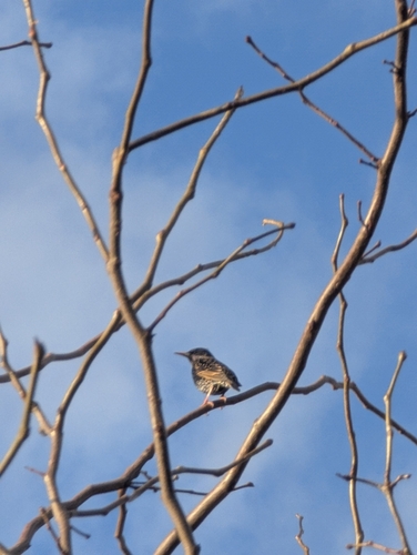
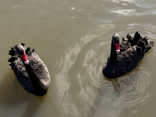
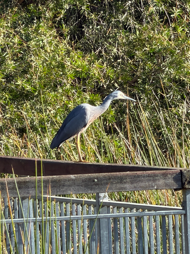
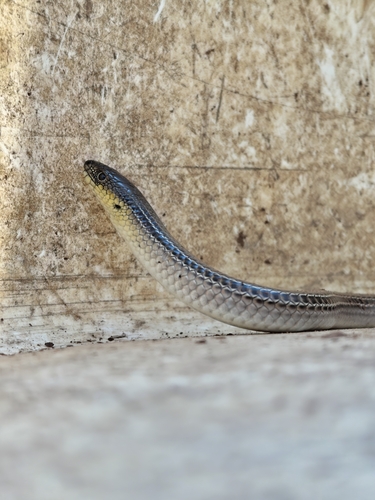
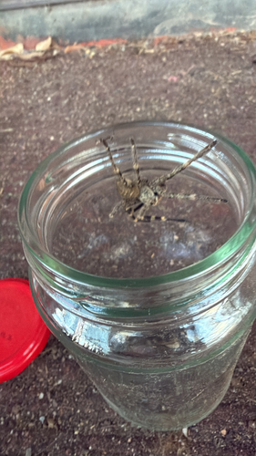
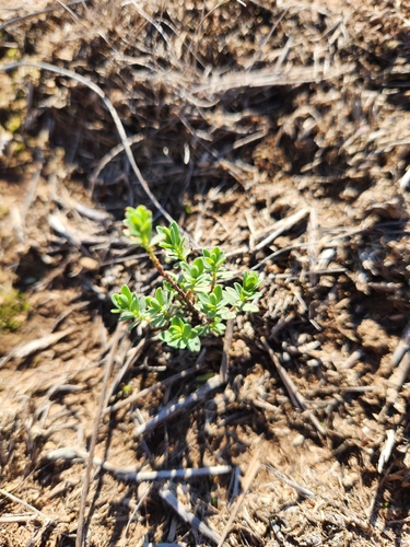
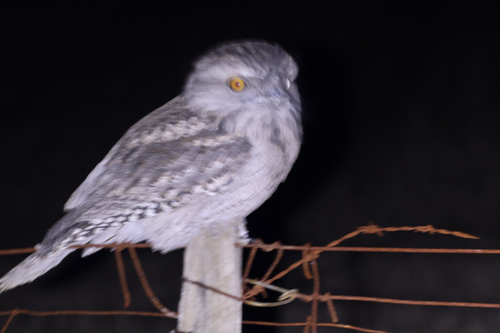
Research-grade observations from iNaturalist (within ~15 mi).
Events
Gallery
Geotagged photos within ~6 miles of Melton, from Wikimedia Commons contributors.
 0.1 mi
 1.1 mi
 1.2 mi
 1.2 mi
 1.3 mi
 1.3 mi
 1.5 mi
 1.5 mi
 2 mi
2 mi 2.1 mi
 2.1 mi
 2.1 mi
 2.1 mi
 2.1 mi
 2.2 mi
 2.2 mi
 2.2 mi
 2.2 mi
 2.2 mi
 2.3 mi
 2.3 mi
 2.3 mi
 2.3 mi
 2.3 mi
Photos via Wikimedia Commons — see each image page for license & attribution.
Sources
- • Wikipedia
- • Open-Meteo (ERA5 reanalysis)
- • Wikimedia Commons
- • Wikidata
- • Open-Meteo Air Quality (CAMS)
- • USGS Earthquake Catalog (global feed)
- • GBIF (Global Biodiversity Information Facility)
- • iNaturalist
- • Open-Meteo / sunrise-sunset.org
- • Wikipedia Pageviews API
- • Open Library