Browse / Australia / Queensland / Meringandan West
Meringandan West
Queenslandhamlet

Meringandan West
Total population
2,488
Demographic figures from Australian Bureau of Statistics. Overview below cites Wikipedia and may reference a different year.
City facts
Overview
Meringandan West is a rural locality in the Toowoomba Region, Queensland, Australia. In the 2021 census, Meringandan West had a population of 2,488 people.
Read more on WikipediaHistory & geography
History
The name Meringandan is taken from the former railway station, which in turn is a Gooneburra word meaning red soil or broken clay. It was built during 1875 by Jack Maag. Isaac John Thomas was appointed the first head teacher of the school. The enrolment for that year was 80 pupils. It is now within the suburb boundaries of Meringandan West. The Meringandan Cemetery was surveyed on 13 October 1876. It was operated by local trustees until 2004, when control was passed to the Rosalie Shire Council 2005, and then to the Toowoomba Regional Council in 2008 following local government amalgamations.
Geography
Meringandan West is on the Darling Downs in southern Queensland. The majority of the eastern boundary is aligned with Meringandan Creek, separating the locality from Meringandan. The creek also formed the boundary between the Shire of Crows Nest and the Shire of Rosalie) with Meringandan West falling under the jurisdiction of the Shire of Rosalie. In 2008, both Meringandan and Meringandan West both came under the jurisdiction of the newly created Toowoomba Region. Mount Muniganeen is in the north-west of the locality () rising to above sea level. Central parts of the area have been developed into a residential estate. Meringandan West was part of a local planning scheme developed and adopted by the Toowoomba Region Council in August 2013.
Excerpted from the corresponding Wikipedia article (CC BY-SA).
Geography
Coordinates & boundaries from the US Census TIGER/Line shapefiles.
Climate
10-year averages from ERA5 reanalysis (Open-Meteo).
Air quality
Walkability
Amenities nearby
Wildlife & biodiversity
Most-observed species
- Australian MagpieGymnorhina tibicen (Latham, 1802) · Aves3,006
- Noisy MinerManorina melanocephala (Latham, 1801) · Aves2,902
- Torresian CrowCorvus orru Bonaparte, 1850 · Aves2,804
- Magpie-larkGrallina cyanoleuca (Latham, 1802) · Aves2,507
- GalahEolophus roseicapilla (Vieillot, 1817) · Aves2,437
- Superb FairywrenMalurus cyaneus (Ellis, 1782) · Aves2,249
- Crested PigeonOcyphaps lophotes (Temminck, 1822) · Aves2,198
- Rainbow LorikeetTrichoglossus haematodus (Linnaeus, 1771) · Aves2,161
Citizen-science & research observations from the Global Biodiversity Information Facility (GBIF).
Earthquake history
Events from the USGS Earthquake Catalog (global) (FDSN Event Web Service).
Photos
Sights & places nearby
Notable people from here

People born within ~10 km, from Wikidata (CC0). Click any name for their Wikipedia article.
Nearby places in Queensland
- Meringandan1.7 mi away · pop. 530
- Gowrie Junction5.1 mi away
- Kingsthorpe6.2 mi away · pop. 2,012
- Charlton7.6 mi away
- Gowrie Mountain7.9 mi away
- Murphys Creek10.7 mi away · pop. 233
- Hampton11.6 mi away · pop. 442
- Withcott12.6 mi away · pop. 1,796
- Kilburnie13.9 mi away
- Crows Nest14.7 mi away · pop. 1,808
- Flagstone Creek19 mi away
- Lilydale19.6 mi away
Geography & sun
Elevation, sunrise/sunset and daylight from Open-Meteo. Solar climatology from NASA POWER.
Nearby airports
Public attention
Pageview totals from the Wikimedia Pageviews API.
Books about this place
Recent natural events nearby
Ground air-quality sensors
Recently spotted species
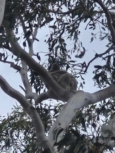
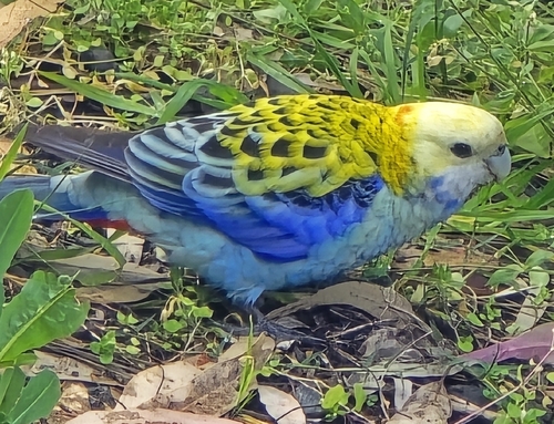
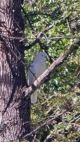
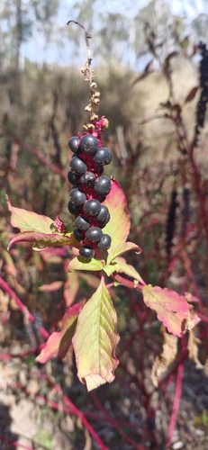
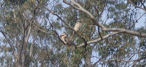
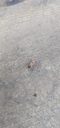
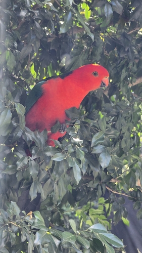
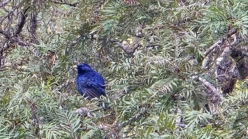
Research-grade observations from iNaturalist (within ~15 mi).
Events
Gallery
Sources
- • Wikipedia
- • Open-Meteo (ERA5 reanalysis)
- • Wikidata
- • USGS Earthquake Catalog (global feed)
- • GBIF (Global Biodiversity Information Facility)
- • iNaturalist
- • Open-Meteo / sunrise-sunset.org
- • Wikipedia Pageviews API