Browse / Australia / Victoria / Mitta Mitta
Mitta Mitta
Victoriahamlet

Mitta Mitta
Demographic figures from Australian Bureau of Statistics. Overview below cites Wikipedia and may reference a different year.
City facts
Overview
Mitta Mitta is a town in the Australian state of Victoria in the Mitta Mitta Valley. It stands on the Omeo Highway and is 415 km from Melbourne, and is located on the Mitta Mitta River not far from Dartmouth Dam. At the 2021 census, Mitta Mitta and the surrounding area had a population of 171.
Read more on WikipediaHistory & geography
History
The Mitta Mitta Valley was settled by early pastoralists in 1835 and Mitta Mitta became a settlement when gold was discovered there in 1852. Substantial hydraulic sluicing replaced alluvial mining, the [https://mitta.com.au/history.html Pioneer Mine] being the most successful, yielding over 441 kg of gold until it closed in 1904. This large open-cut mine still forms the backdrop to the town. Aboriginals used the River as a food source, social connections and sometimes wars. Their presence goes back at least 4,000 years and artifacts are frequently found along the River and creeks. The principle tribe in the district was the Jaitmatang (also spelt Yaithmathang) with the theddora-mittung occupying the area around the southern end of the Valley near present Mitta Mitta. Their spoken language was Dhudhoroa Language, no longer spoken but being revived in some local primary schools.
Geography
Mitta Mitta is situated at the southernmost end of the intermontane Mitta Mitta Valley on the foothills of the Great Dividing Range. At the airport, Mitta Mitta is 250 m (820 ft) above mean sea level. The town is at the confluence of the Mitta Mitta River and Snowy Creek, 18 km from Mount Bogong, the highest mountain in Victoria. The hamlet sits between Mt Welcome (883 m) and Mt Misery (721 m). Mitta Mitta is on the Omeo Highway, a major transportation connection between Northern Victoria and Gippsland. Prior to the completion of the Dartmouth Dam in 1979, the valley was subjected to frequent flooding. The floral emblem of Mitta Mitta is the Mitta Wattle ([https://resources.austplants.com.au/plant/acacia-dawsonii/ acacia dawsonii]), also known as the poverty wattle and is to be found close to the town on the Omeo Highway and Dartmouth Road.
Excerpted from the corresponding Wikipedia article (CC BY-SA).
Geography
Coordinates & boundaries from the US Census TIGER/Line shapefiles.
Climate
Air quality
Walkability
Amenities nearby
Wildlife & biodiversity
Most-observed species
- Abundant-fruited BrambleRubus cissburiensis W.P.C.Barton & Ridd. · Magnoliopsida94
- common bird-orchidChiloglottis valida D.L.Jones · Liliopsida74
- Crimson RosellaPlatycercus elegans (Gmelin, 1788) · Aves68
- Sea trout, Brown troutSalmo trutta Linnaeus, 1758 · Animalia63
- Superb FairywrenMalurus cyaneus (Ellis, 1782) · Aves58
- Gray FantailRhipidura albiscapa Gould, 1840 · Aves56
- Australian MagpieGymnorhina tibicen (Latham, 1802) · Aves55
- Prickly Horn SnailCerithium echinatum Lamarck, 1822 · Gastropoda54
Citizen-science & research observations from the Global Biodiversity Information Facility (GBIF).
Earthquake history
Most recent
- M 2.6 — 2007-06-1012 km SE of Myrtleford, Australia
- M 2.9 — 2006-02-2814 km WNW of Falls Creek, Australia
- M 3 — 2003-09-2653 km SSE of Corryong, Australia
- M 3 — 2003-05-178 km NW of Kosciuszko National Park, Australia
- M 3.2 — 2003-01-252 km NNE of Jindera, Australia
- M 3.4 — 2001-12-168 km SW of Hotham Heights, Australia
Events from the USGS Earthquake Catalog (global) (FDSN Event Web Service).
Photos
Sights & places nearby
Notable people from here
Nearby places in Victoria
- Bucheen Creek11.6 mi away
- Bogong20.3 mi away
- Dederang20.4 mi away
- Germantown24.4 mi away
- Tallangatta24.7 mi away · pop. 1,016
- Freeburgh25.2 mi away
- Smoko26 mi away
- Shelley26.5 mi away
- Wandiligong27.1 mi away · pop. 362
- Tangambalanga27.5 mi away · pop. 412
- Porepunkah28 mi away · pop. 771
- Harrietville30 mi away · pop. 354
Geography & sun
Elevation, sunrise/sunset and daylight from Open-Meteo. Solar climatology from NASA POWER.
Nearby airports
Public attention
Pageview totals from the Wikimedia Pageviews API.
Books about Mitta Mitta
Search results from Open Library.
Recent natural events nearby
Ground air-quality sensors
Recently spotted species
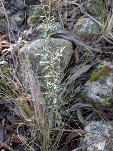
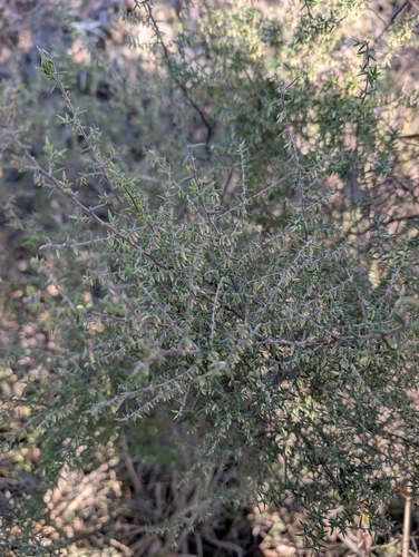
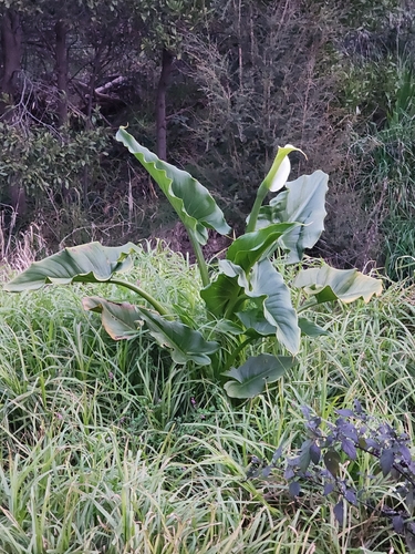
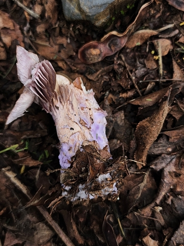
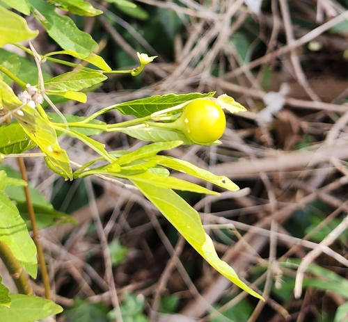
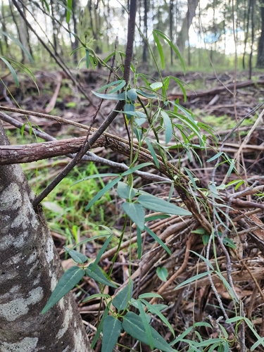
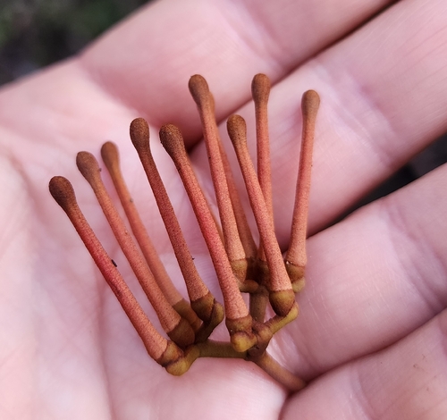
Research-grade observations from iNaturalist (within ~15 mi).
Events
Gallery
Official Identifiers
ABS — Australian Bureau of Statistics
- ASGS 2021
- SAL21711
- Population (Wikidata)
- 171
- Wikidata
- Q6883436
ASGS 2021 ID via Wikidata P10112
Sources
- • Wikipedia
- • USGS Earthquake Catalog (global feed)
- • GBIF (Global Biodiversity Information Facility)
- • iNaturalist
- • Open-Meteo / sunrise-sunset.org
- • Wikipedia Pageviews API
- • Open Library
- • ABS — Australian Bureau of Statistics — ASGS 2021 ID via Wikidata P10112