Browse / Australia / Queensland / Mount Isa
Mount Isa
Queenslandcity

Mount Isa
Total population
17,936
Founded
1923
Demographic figures from Australian Bureau of Statistics. Overview below cites Wikipedia and may reference a different year.
City facts
Facts from Wikidata (CC0).
Overview
Mount Isa is a city in the Gulf Country region of Queensland, Australia. It came into existence because of the vast mineral deposits found in the area. Mount Isa Mines (MIM) is one of the most productive mines in world history, based on combined production of lead, silver, copper and zinc.
Read more on WikipediaHistory & geography
History
Long before European contact, the Mount Isa region was a centre for trade and production of dolerite and basalt stone tools and objects. There is evidence of ground-edge stone tools as old as 20,000 years, the earliest in the world, originating from Mount Isa quarries. As of about 1000 years before the present (BP), large, ground-edge stone axes from Mount Isa were particularly prized by the peoples of the Lake Eyre Basin. They were not only valuable tools, but valuable trade items as well, and were often traded for the tobacco plant pituri. Archaeologist Iain Davidson suggests that they were traded partly for reasons unrelated to function, as they were often sought after despite the availability of local resources. Leilira blades were also likely produced in the Mount Isa region, though dating is uncertain. Rock art is abundant in the region as well. It largely consists of engraved petrographs and free-painted designs; stenciled designs are rare. Rock art in the Mount Isa region varies stylistically site-by-site, and includes circular, geometric, and figurative motifs. One figurative motif particular to the Mount Isa region is the north-west central Queensland anthropomorph figure. They are usually painted one color with an outline in a different color (often red and yellow, respectively) and have distinctive feathered headdresses, no face, and often a third leg which is variously interpreted as either a penis or a lizard's tail. These figures are found near reliable water sources, and may have been used to mark trade and travel paths between regions. Analysis indicates that the ochres used for the paint originate over 100km southeast of Mount Isa. Davidson suggests that, like the Mount Isa stone axes, the ochre was valued for cultural reasons in addition to…
Geography
The Leichhardt River divides the city into areas known as "mineside" and "townside". Xstrata, the power station and the Airport are on the mineside, whilst the majority of the city, including the CBD and Base Hospital are on the townside. In recent years, population increases associated with the mining boom has increased demand for accommodation and land. The city had spread out, with new suburbs in the south-east and north of the city being planned or developed. Planned expansions can cater for more than 40,000 people. ; Mineside *Happy Valley – includes Happy Valley State School, St Joseph's Catholic Primary School, and Captain James Cook Park *Kalkadoon – includes Mount Isa Airport and Kalkadoon Park * Mica Creek – includes CS Energy Mica Creek Power Station * Miles End – includes Mount Isa Civic Centre and railway station * Parkside – Mount Isa's largest and oldest suburb. Contains the Irish Club, Parkside Flats complex, and Playway Park * Soldiers Hill – All streets and parks named after war locations and soldiers, such as Kokoda Road and Gallipoli Park * Hilton – This neighbourhood is also known as Mineside and is to the west of the railway line as is Mount Isa Mines and the Incitec Pivot Sulphuric Acid plant. It contains some employee housing, particularly for managers and visiting staff from Xstrata, Casa Grande; a white brick mansion built for the visit of Queen Elizabeth II; now used for the annual Casa Grande Ball, and some mine operations. ; Townside * Breakaway – Semi-rural acreages * Fisher * Healy – Residential suburb, site of Healy State School * Lanskey * Menzies – includes Buchanan Park events complex, Stables and Racecourse, site of Good Shepherd Catholic College * Mornington * Mount Isa City – The Central Business District, site of Mount Isa…
Excerpted from the corresponding Wikipedia article (CC BY-SA).
Geography
Coordinates & boundaries from the US Census TIGER/Line shapefiles.
Climate
Air quality
Walkability
Amenities nearby
Wildlife & biodiversity
Earthquake history
Photos
Sights & places nearby
Notable people from here


People born within ~10 km, from Wikidata (CC0). Click any name for their Wikipedia article.
Nearby places in Queensland
- Three Rivers74.9 mi away
- Camooweal105 mi away · pop. 152
- Burke and Wills117.8 mi away
- Julia Creek145.6 mi away · pop. 377
- Middleton173.1 mi away
- Malpas-Trenton180.9 mi away
- Savannah186.9 mi away
- Normanton235.2 mi away · pop. 1,326
- Karumba240.6 mi away · pop. 487
- Croydon250.1 mi away
- Bedourie250.9 mi away
- Njinjilki251.4 mi away
Geography & sun
Elevation, sunrise/sunset and daylight from Open-Meteo. Solar climatology from NASA POWER.
Nearby airports
Public attention
Pageview totals from the Wikimedia Pageviews API.
Books about Mount Isa
Search results from Open Library.
Recent natural events nearby
Ground air-quality sensors
Recently spotted species
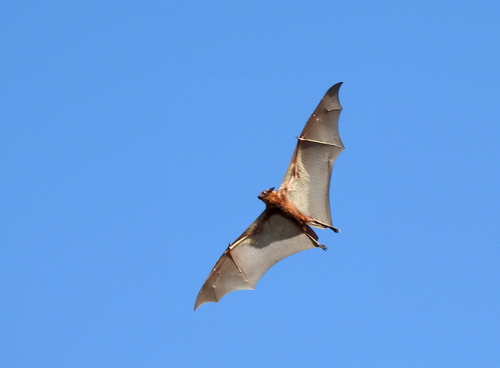
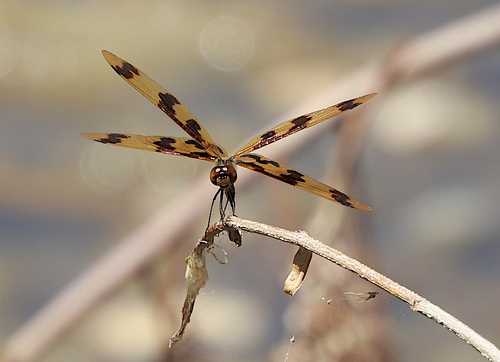
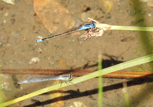
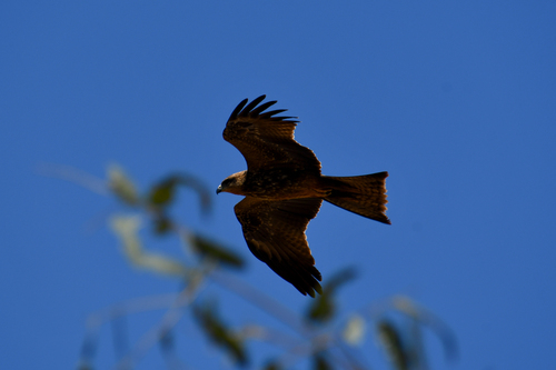
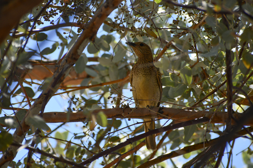
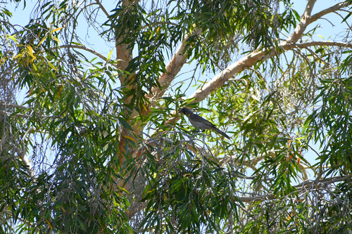
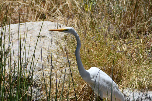
Research-grade observations from iNaturalist (within ~15 mi).
Events
Gallery
Sources
- • Wikipedia
- • Wikidata
- • iNaturalist
- • Open-Meteo / sunrise-sunset.org
- • Wikipedia Pageviews API
- • Open Library