Browse / Australia / Queensland / Mount Jukes
Mount Jukes
Queenslandvillage

Mount Jukes
Demographic figures from Australian Bureau of Statistics. Overview below cites Wikipedia and may reference a different year.
City facts
Overview
Mount Jukes is a mountain and surrounding coastal rural locality north of Mackay in the Mackay Region, Queensland, Australia. In the 2021 census, Mount Jukes had a population of 373 people.
Read more on WikipediaHistory & geography
History
Mount Jukes was named by George Elphinstone Dalrymple in 1862 after geologist Joseph Beete Jukes, who served as a naturalist on the explorations of from 1842 to 1846.
Geography
The locality is bounded to the east by the Coral Sea, to the south-east by Constant Creek which flows into the Coral Sea, and to the south-west by Nielson Creek, a tributary of Constant Creek. The mountain Mount Jukes is located in the south-west of the locality () within the south-western section of the national park and the Central Mackay Coast IBRA Region. It rises to above sea level and is composed of igneous rock that has been weathered and eroded. Mount Adder is another mountain within the western section of the national park () rising to . The mountains originated from volcanic activity approximately 32 million years ago. Apart from the national parks, the land use is a mixture of crop growing (mostly sugarcane), grazing on native vegetation and rural residential housing. Yakapari-Seaforth Road enters the locality from the south (Kuttabul) and exits to the north-west (Seaforth).
Excerpted from the corresponding Wikipedia article (CC BY-SA).
Geography
Coordinates & boundaries from the US Census TIGER/Line shapefiles.
Climate
Air quality
Walkability
Amenities nearby
Wildlife & biodiversity
Most-observed species
- Australasian FigbirdSphecotheres vieilloti Vigors & Horsfield, 1827 · Aves330
- Laughing KookaburraDacelo novaeguineae (Hermann, 1783) · Aves318
- Bar-shouldered DoveGeopelia humeralis (Temminck, 1821) · Aves290
- Spangled DrongoDicrurus bracteatus Gould, 1843 · Aves249
- Varied TrillerLalage leucomela (Vigors & Horsfield, 1827) · Aves235
- Masked LapwingVanellus miles (Boddaert, 1783) · Aves233
- Torresian CrowCorvus orru Bonaparte, 1850 · Aves206
- Rufous ShrikethrushColluricincla rufogaster Gould, 1845 · Aves199
Citizen-science & research observations from the Global Biodiversity Information Facility (GBIF).
Earthquake history
Events from the USGS Earthquake Catalog (global) (FDSN Event Web Service).
Photos
Sights & places nearby
Notable people from here
Nearby places in Queensland
Geography & sun
Elevation, sunrise/sunset and daylight from Open-Meteo. Solar climatology from NASA POWER.
Nearby airports
Public attention
Pageview totals from the Wikimedia Pageviews API.
Books about this place
Recent natural events nearby
Ground air-quality sensors
Recently spotted species
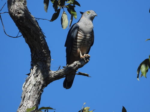
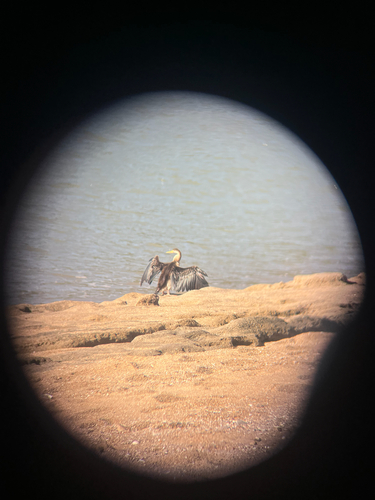
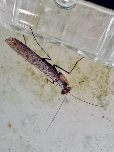
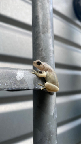
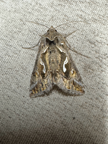
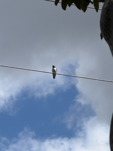
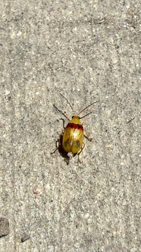
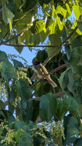
Research-grade observations from iNaturalist (within ~15 mi).
Events
Gallery
Official Identifiers
ABS — Australian Bureau of Statistics
- ASGS 2021
- SAL31976
- Population (Wikidata)
- 373
- Wikidata
- Q31202310
ASGS 2021 ID via Wikidata P10112
Sources
- • Wikipedia
- • Wikidata
- • USGS Earthquake Catalog (global feed)
- • GBIF (Global Biodiversity Information Facility)
- • iNaturalist
- • Open-Meteo / sunrise-sunset.org
- • Wikipedia Pageviews API
- • ABS — Australian Bureau of Statistics — ASGS 2021 ID via Wikidata P10112