Browse / Australia / Queensland / Mount Morgan
Mount Morgan
Queenslandtown

Mount Morgan
Total population
2,487
Demographic figures from Australian Bureau of Statistics. Overview below cites Wikipedia and may reference a different year.
City facts
Overview
Mount Morgan is a rural town and locality in the Rockhampton Region, Queensland, Australia. The town was the administrative centre of the Mount Morgan Shire until March 2008, when it was amalgamated with neighbouring local government areas to form the Rockhampton Region.
Read more on WikipediaHistory & geography
History
Prior to European migrants settling in the area, the area was part of the Kangulu peoples traditional lands. Mount Morgan was founded as a gold mining town in 1882. The town takes its name from the family who took out the original gold mining leases in the area: Frederick Augustus Morgan and his brothers Thomas Squire Morgan and Edwin Francis Morgan. Over the years, the Mount Morgan Mine has produced gold, silver and copper. Among those making a fortune from this mine was William Knox D'Arcy. D'Arcy used his fortune to finance oil exploration in Iran, which led to the formation of the Anglo-Persian Oil Company (now BP). Mining of clay in a nearby hill for the production of furnace bricks commenced soon after that time, continuing until the early 1900s, The resulting man-made caves came to be known as the Fireclay Caverns, which contained large openings that measure between 4–12 metres in height from the cave floor. Dinosaur footprints (preserved as infills) were later found in nine different sections of the Fireclay Caverns, lining the ceiling dated to the Early Jurassic (Sinemurian). Mount Morgan Post Office opened on 18 May 1885 (a receiving office had been open from 1884). Mount Morgan Central State School opened in 1887 and grew so rapidly that it was separated into two schools on different sites the following year, forming Mount Morgan Boys State School and Mount Morgan Girls and Infants State School. The word 'Central' was added to the name of these two schools from 1911. They were amalgamated back into one school in 1929. The town of Mount Morgan grew in a haphazard fashion around the entrance to the mining lease near the Dee River from the early 1880s. By 1889 a number of the major religions had established congregations and erected churches including the…
Geography
The town of Mount Morgan is situated on the Dee River, south of the city of Rockhampton, and is north of the state capital, Brisbane. The Burnett Highway passes through the town. There are a number of neighbourhoods within the locality: * Gordon Vale () * Kenbula (), located around the former Kenbula railway station * Talban (), located around the former Talban railway station The names Kenbula and Talban were both assigned by the Queensland Railway Department on 18 November 1911. Both are Aboriginal names, Kenbula meaning ironbark tree and Talban meaning stone curlew.
Excerpted from the corresponding Wikipedia article (CC BY-SA).
Geography
Coordinates & boundaries from the US Census TIGER/Line shapefiles.
Climate
Air quality
Walkability
Amenities nearby
Wildlife & biodiversity
Most-observed species
- Torresian CrowCorvus orru Bonaparte, 1850 · Aves65
- Laughing KookaburraDacelo novaeguineae (Hermann, 1783) · Aves64
- Australian MagpieGymnorhina tibicen (Latham, 1802) · Aves64
- Pied CurrawongStrepera graculina (Shaw, 1790) · Aves60
- Striated PardalotePardalotus striatus (Gmelin, 1789) · Aves54
- Rainbow LorikeetTrichoglossus haematodus (Linnaeus, 1771) · Aves52
- Lewin's HoneyeaterMeliphaga lewinii (Swainson, 1837) · Aves51
- Sulphur-crested CockatooCacatua galerita (Latham, 1790) · Aves44
Citizen-science & research observations from the Global Biodiversity Information Facility (GBIF).
Earthquake history
Events from the USGS Earthquake Catalog (global) (FDSN Event Web Service).
Photos
Sights & places nearby
Notable people from here
Nearby places in Queensland
- Kabra12 mi away
- Gracemere14.8 mi away · pop. 11,534
- Goovigen35.2 mi away
- Rannes35.8 mi away
- Mount Larcom39.1 mi away · pop. 238
- Yeppoon41.8 mi away · pop. 18,789
- Mandu Stud42.3 mi away
- Duaringa45.8 mi away · pop. 192
- Baralaba51.9 mi away · pop. 260
- Wurdong Heights62.6 mi away
- Stockyard Point63.3 mi away
- Woorabinda67.9 mi away · pop. 1,019
Geography & sun
Elevation, sunrise/sunset and daylight from Open-Meteo. Solar climatology from NASA POWER.
Nearby airports
Public attention
Pageview totals from the Wikimedia Pageviews API.
Books about this place
Recent natural events nearby
Ground air-quality sensors
Recently spotted species
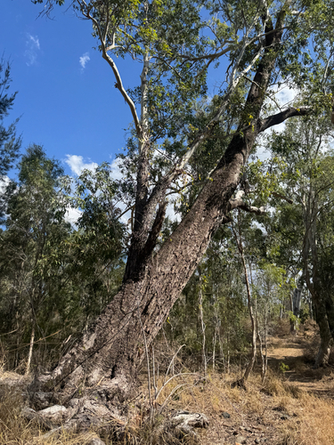
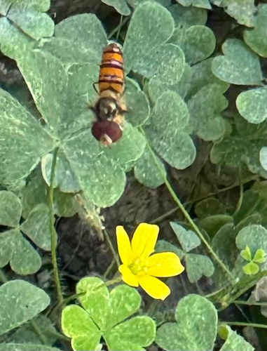
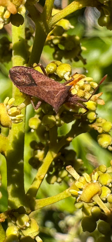
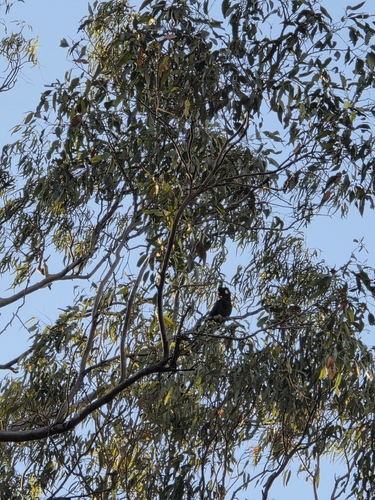
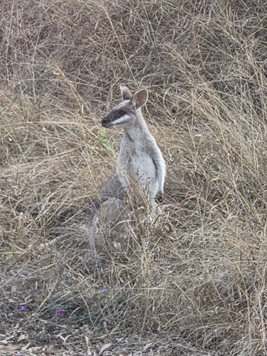
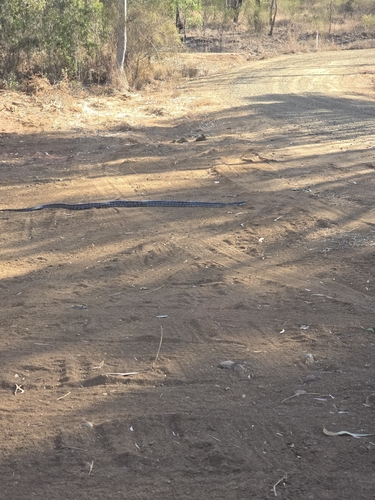
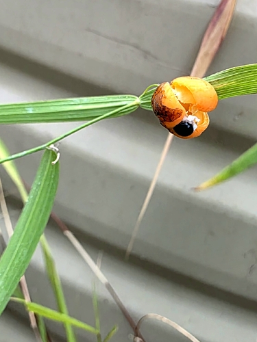
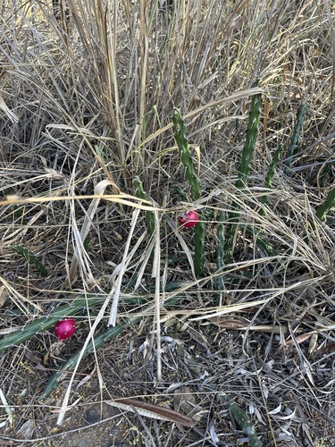
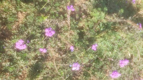
Research-grade observations from iNaturalist (within ~15 mi).
Events
Gallery
Sources
- • Wikipedia
- • USGS Earthquake Catalog (global feed)
- • GBIF (Global Biodiversity Information Facility)
- • iNaturalist
- • Open-Meteo / sunrise-sunset.org
- • Wikipedia Pageviews API