Browse / Australia / Queensland / Mount Surprise
Mount Surprise
Queenslandtown

Mount Surprise
Demographic figures from Australian Bureau of Statistics. Overview below cites Wikipedia and may reference a different year.
City facts
Overview
Mount Surprise is a rural town and locality in the Shire of Etheridge, Queensland, Australia. In the 2021 census, the locality of Mount Surprise had a population of 138 people.
Read more on WikipediaHistory & geography
History
The town was founded by Ezra Firth, from the English county of Yorkshire, who along with his family settled in the area in 1864. The property struggled at first; relations with the indigenous inhabitants of the country were hostile and the country was not suited for wool growing. The discovery of gold in the 1880s and the subsequent gold rush allowed Firth to sell his sheep to the miners, convert his holding to cattle and become wealthy selling goods to the miners. In 1908, the Etheridge railway line reached Mount Surprise. Mount Surprise Post Office opened by July 1908. Mount Surprise State School opened on 12 February 1917. In October 1942, detachments of 16 Australian Field Company, Royal Australian Engineers travelled to Cooktown, Mount Surprise and Coen to build Repeater Huts.
Geography
The town is located in the Gulf Savannah in Far North Queensland on the Gulf Developmental Road, north west of the state capital, Brisbane and west of the regional centre of Cairns.
Excerpted from the corresponding Wikipedia article (CC BY-SA).
Geography
Coordinates & boundaries from the US Census TIGER/Line shapefiles.
Climate
10-year averages from ERA5 reanalysis (Open-Meteo).
Air quality
Walkability
Amenities nearby
Wildlife & biodiversity
Most-observed species
- GalahEolophus roseicapilla (Vieillot, 1817) · Aves104
- Blue-faced HoneyeaterEntomyzon cyanotis (Latham, 1801) · Aves104
- ApostlebirdStruthidea cinerea Gould, 1837 · Aves97
- Great BowerbirdChlamydera nuchalis (Jardine & Selby, 1830) · Aves85
- Australian MagpieGymnorhina tibicen (Latham, 1802) · Aves84
- Black KiteMilvus migrans (Boddaert, 1783) · Aves82
- Rainbow LorikeetTrichoglossus haematodus (Linnaeus, 1771) · Aves77
- Pied CurrawongStrepera graculina (Shaw, 1790) · Aves67
Citizen-science & research observations from the Global Biodiversity Information Facility (GBIF).
Earthquake history
Events from the USGS Earthquake Catalog (global) (FDSN Event Web Service).
Photos
Sights & places nearby
Notable people from here
Nearby places in Queensland
- Mount Garnet61.5 mi away · pop. 253
- Greenvale73.2 mi away
- Ravenshoe85.1 mi away · pop. 786
- Herberton87.8 mi away · pop. 984
- Millaa Millaa95.8 mi away · pop. 314
- Tarzali98.2 mi away · pop. 431
- Walkamin101.2 mi away · pop. 213
- Peeramon102.8 mi away · pop. 778
- Yungaburra103 mi away · pop. 1,052
- North Johnstone104.4 mi away
- East Palmerston107.3 mi away · pop. 220
- Berner Creek110 mi away · pop. 16
Geography & sun
Elevation, sunrise/sunset and daylight from Open-Meteo. Solar climatology from NASA POWER.
Nearby airports
Public attention
Pageview totals from the Wikimedia Pageviews API.
Books about this place
Recent natural events nearby
Ground air-quality sensors
Recently spotted species
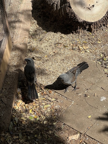
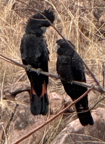
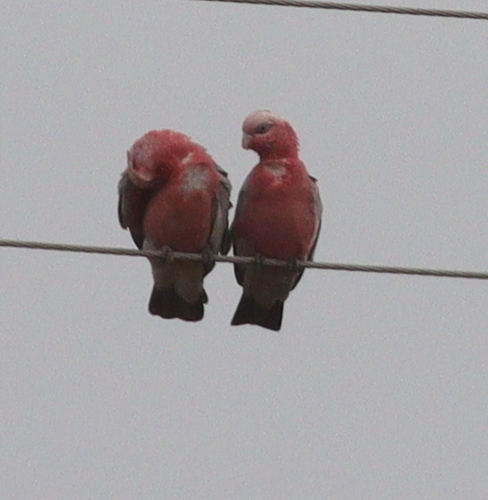
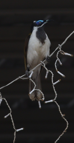
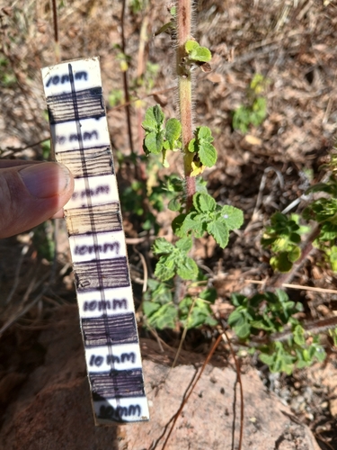
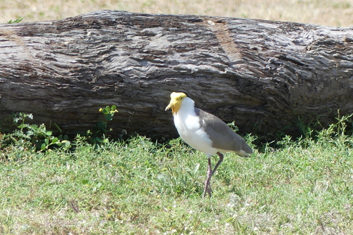
Research-grade observations from iNaturalist (within ~15 mi).
Events
Gallery
Official Identifiers
ABS — Australian Bureau of Statistics
- ASGS 2021
- SAL32026
- Population (Wikidata)
- 138
- Wikidata
- Q1950746
ASGS 2021 ID via Wikidata P10112
Sources
- • Wikipedia
- • Open-Meteo (ERA5 reanalysis)
- • Wikidata
- • USGS Earthquake Catalog (global feed)
- • GBIF (Global Biodiversity Information Facility)
- • iNaturalist
- • Open-Meteo / sunrise-sunset.org
- • Wikipedia Pageviews API
- • ABS — Australian Bureau of Statistics — ASGS 2021 ID via Wikidata P10112