Browse / Australia / Northern Territory / Mulga Bore
Mulga Bore
Northern Territoryvillage
Demographic figures from Australian Bureau of Statistics. Overview below cites Wikipedia and may reference a different year.
City facts
Overview
Engawala is a small town in the Northern Territory, Australia, located around 180 kilometres (110 mi) north of Alice Springs, in the Akityarre ward. Its altitude is 600 metres (2,000 ft).
Read more on WikipediaHistory & geography
Geography
Coordinates & boundaries from the US Census TIGER/Line shapefiles.
Climate
Air quality
Walkability
Amenities nearby
Wildlife & biodiversity
Most-observed species
- Buffel-grassCenchrus ciliaris L. · Liliopsida4
- MulgaAcacia aneura F.Muell. ex Benth. · Magnoliopsida3
- BudgerigarMelopsittacus undulatus (Shaw, 1805) · Aves2
- Major Mitchell's cockatooCacatua leadbeateri (Vigors, 1831) · Aves2
- Little CrowCorvus bennetti North, 1901 · Aves2
- Spiny-cheeked HoneyeaterAcanthagenys rufogularis Gould, 1838 · Aves2
- Splendid FairywrenMalurus splendens (Quoy & Gaimard, 1830) · Aves2
- Zebra FinchTaeniopygia guttata (Vieillot, 1817) · Aves2
Citizen-science & research observations from the Global Biodiversity Information Facility (GBIF).
Earthquake history
Events from the USGS Earthquake Catalog (global) (FDSN Event Web Service).
Photos
Sights & places nearby
Notable people from here
Nearby places in Northern Territory
Geography & sun
Elevation, sunrise/sunset and daylight from Open-Meteo. Solar climatology from NASA POWER.
Nearby airports
Public attention
Pageview totals from the Wikimedia Pageviews API.
Books about this place
Recent natural events nearby
Ground air-quality sensors
Recently spotted species
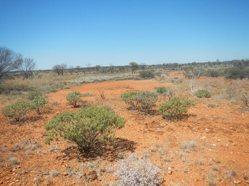
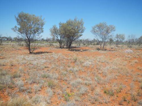
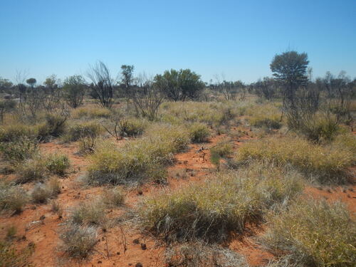
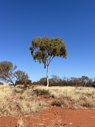
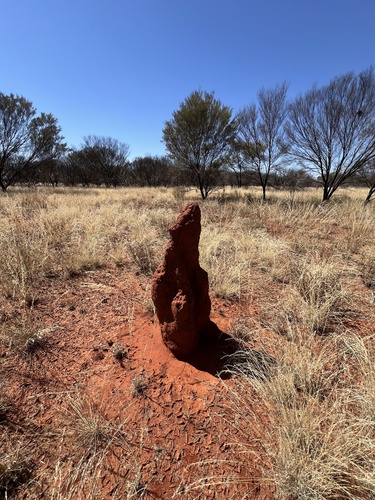
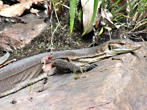
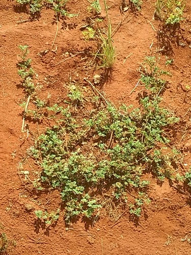
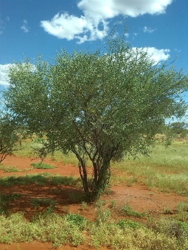
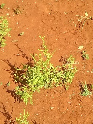
Research-grade observations from iNaturalist (within ~15 mi).
Events
Gallery
Sources
- • Wikipedia
- • Wikidata
- • USGS Earthquake Catalog (global feed)
- • GBIF (Global Biodiversity Information Facility)
- • iNaturalist
- • Open-Meteo / sunrise-sunset.org
- • Wikipedia Pageviews API