Browse / Australia / Western Australia / Munthamar
Munthamar
Western Australiahamlet
Demographic figures from Australian Bureau of Statistics. Overview below cites Wikipedia and may reference a different year.
City facts
Overview
Munthamar is a small Aboriginal community, located proximate to Kununurra in the Kimberley region of Western Australia, within the Shire of Wyndham-East Kimberley.
Read more on WikipediaHistory & geography
History
Permanent dwellings were established in Munthamar in the early 1990s. Prior to that community members lived in self-made shacks in the vicinity, on what is now the Mud Springs reserve. The initial dwellings were self-made shelters and not connected to reticulated power and water. While living conditions were modest, the newly established camp offered space away from town life. Ruins from the initial camp site remain.
Excerpted from the corresponding Wikipedia article (CC BY-SA).
Geography
Coordinates & boundaries from the US Census TIGER/Line shapefiles.
Climate
Air quality
Walkability
Amenities nearby
Wildlife & biodiversity
Earthquake history
Photos
Sights & places nearby
Notable people from here
Nearby places in Western Australia
Geography & sun
Nearby airports
Public attention
Books about this place
Recent natural events nearby
Ground air-quality sensors
Recently spotted species
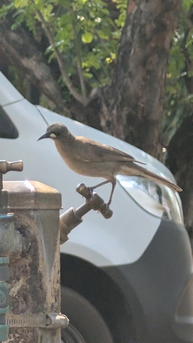
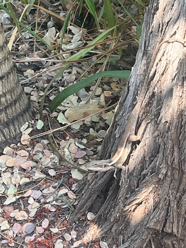
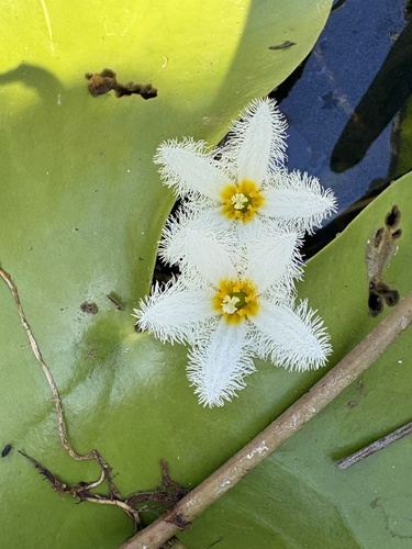
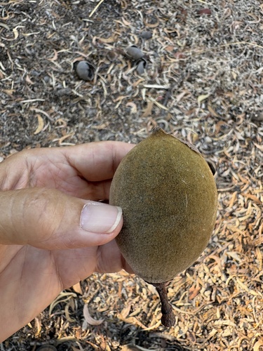
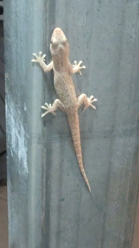
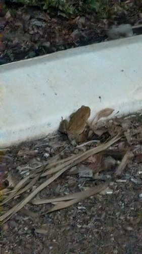
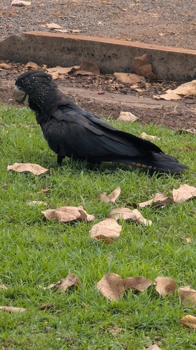
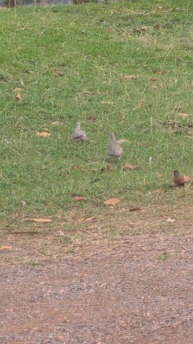
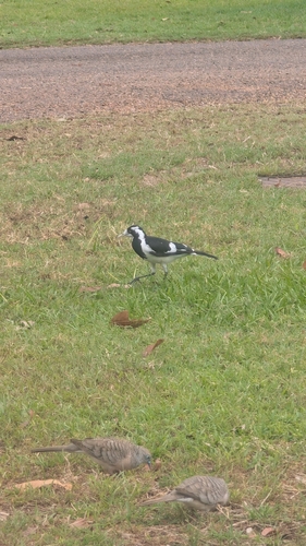
Research-grade observations from iNaturalist (within ~15 mi).
Events
Gallery
Sources
- • Wikipedia
- • Wikidata
- • iNaturalist