Browse / Australia / Victoria / Murchison
Murchison
Victoriatown
Total population
775
Demographic figures from Australian Bureau of Statistics. Overview below cites Wikipedia and may reference a different year.
City facts
Facts from Wikidata (CC0).
Overview
Murchison sits in Victoria, Australia and is identified as a small town. Recent open-data figures place its population at about 775. Located at -36.617°, 145.217°, Murchison occupies a warm-temperate portion of the southern hemisphere. Climatically, locations at this latitude tend to experience warm summers and cool winters. The location receives about 1,809 kWh/m² of solar irradiance per year and sunshine for roughly 71% of daylight hours. Further detail — demographics, climate, nearby amenities and natural-hazard data — is compiled below from public open-data sources.
Summary composed automatically from structured open data on this page. See our Terms for details.
History & geography
History
The Ngooraialum tribe were the Aboriginal inhabitants of the area. The first explorer to enter the Goulburn Valley was Thomas Mitchell who crossed the Goulburn River at Mitchellstown. The first Europeans to visit what would become the site were the drovers Joseph Hawdon and Charles Bonney who drove cattle between Mitchellstown and Adelaide. Squatters started settling the area in 1840 with a school being established that year and a police station in 1841. The aboriginal protectorate was also transferred from Mitchellstown to Murchison in 1840 and closed in 1850. French vigneron Ludovic Marie settled in Murchison in 1850 and established vineyards. He also set up a hotel and punt service over the Goulburn for gold miners travelling between Bendigo and Beechworth. A township was established in 1854 with the town being named after Captain John Murchison, an early settler. The town grew rapidly, with a post office opening on 19 January 1855 (replacing an earlier office at Warranga), a flour mill in 1858 and a Presbyterian church and school in 1859. Small selectors started settling the area after 1870. A bridge was built over the Goulburn to replace the punt service in 1871, with a newspaper, courthouse and mechanics' institute being established in 1870. The town grew further in 1875 with the arrival of the first paddle steamer. At that time, Murchison had six hotels, a number of general stores, two flour mills including the highly intact Days Mill and Farm at Murchison South, and numerous stores and services. In 1878, Murchison became the base for operations against Ned Kelly and his gang. The railway reached Murchison East in 1880 and a second station named Murchison was opened on the line to Rushworth in 1890. The building of the Goulburn Weir for irrigation in…
Excerpted from the corresponding Wikipedia article (CC BY-SA).
Geography
Coordinates & boundaries from the US Census TIGER/Line shapefiles.
Climate
Air quality
Walkability
Amenities nearby
Wildlife & biodiversity
Most-observed species
- Australian MagpieGymnorhina tibicen (Latham, 1802) · Aves927
- Red WattlebirdAnthochaera carunculata (Shaw, 1790) · Aves729
- GalahEolophus roseicapilla (Vieillot, 1817) · Aves665
- White-plumed HoneyeaterPtilotula penicillata (Gould, 1837) · Aves634
- Eastern RosellaPlatycercus eximius (Shaw, 1792) · Aves552
- Superb FairywrenMalurus cyaneus (Ellis, 1782) · Aves552
- Willie-wagtailRhipidura leucophrys (Latham, 1802) · Aves545
- Welcome SwallowHirundo neoxena Gould, 1842 · Aves481
Citizen-science & research observations from the Global Biodiversity Information Facility (GBIF).
Earthquake history
Most recent
- M 3.2 — 2013-06-2224 km SE of Benalla, Australia
- M 3 — 2010-05-268 km E of Rochester, Australia
- M 3.3 — 2005-01-2016 km WNW of Wangaratta, Australia
- M 2.6 — 2003-05-0927 km SE of Euroa, Australia
- M 2.5 — 2002-08-0910 km ESE of Kyabram, Australia
- M 3.3 — 2002-01-225 km WNW of Rochester, Australia
Events from the USGS Earthquake Catalog (global) (FDSN Event Web Service).
Photos
Sights & places nearby
Notable people from here
Nearby places in Victoria
Geography & sun
Elevation, sunrise/sunset and daylight from Open-Meteo. Solar climatology from NASA POWER.
Nearby airports
Public attention
Pageview totals from the Wikimedia Pageviews API.
Books about Murchison

Search results from Open Library.
Recent natural events nearby
Ground air-quality sensors
Recently spotted species
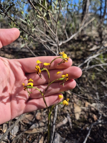
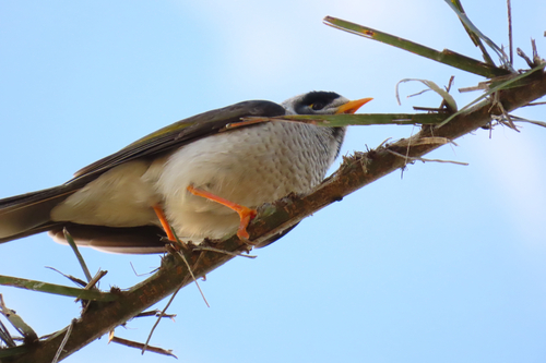
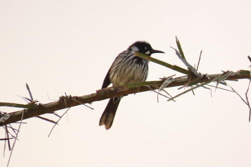
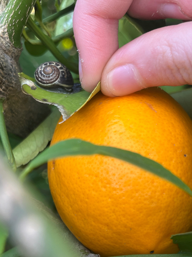
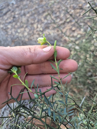
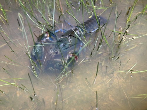
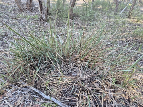
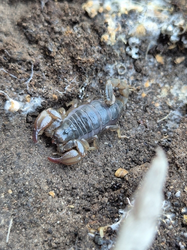
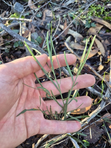
Research-grade observations from iNaturalist (within ~15 mi).
Events
Gallery
Sources
- • Wikipedia
- • Wikidata
- • USGS Earthquake Catalog (global feed)
- • GBIF (Global Biodiversity Information Facility)
- • iNaturalist
- • Open-Meteo / sunrise-sunset.org
- • Wikipedia Pageviews API
- • Open Library