Browse / Australia / New South Wales / Nerriga
Nerriga
New South Walesvillage

Nerriga
Total population
77
Demographic figures from Australian Bureau of Statistics. Overview below cites Wikipedia and may reference a different year.
City facts
Overview
Nerriga is a small village in the Southern Tablelands of New South Wales, Australia in Queanbeyan-Palerang Regional Council. It is situated at the edge of Morton National Park, on the Braidwood - Nowra road. The population of Nerriga and the surrounding localities at the 2016 census was 72.
Read more on WikipediaHistory & geography
History
In 1828, grazier George Galbraith was listed as the owner of some of land on the Endrick River, to the east of the current village. This property was then known as "Narriga". The name "Nerriga" was first recorded by surveyor Robert Hoddle on an 1828 expedition of the Shoalhaven River. Following Galbraith's death in 1837, his land holdings were subsequently auctioned. Galbraith's holding was purchased by another settler, John Mackenzie, who had been granted land near Nerriga in 1836. In 1840, James Larmer surveyed a village site and a route over the mountains from Nerriga to Vincentia. It was intended that this pass, known as The Wool Road would allow movement of agricultural produce to a port on Jervis Bay from the Braidwood and Goulburn districts. The road was completed in 1841, a distance of approximately at an estimated cost of £997. In 1842, the existing road linking Nerriga to Braidwood was substantially upgraded. Both projects utilised convict labour under the command of Nerriga landowner John Mackenzie. The discovery of alluvial gold on the Shoalhaven River in 1851 led to increased interest in the area around Nerriga, and the town began to grow, with the Commercial Hotel opening for business some time around 1864. The building still stands today, but is now known as the Bark Tree Hotel. Records show that between 1878 and 1901, the peak of production in the area, some of gold were produced from the Nerriga Mining Division. Some quartz reefs were also worked in the area, however the yields from these activities were not significant. Prospecting on a large scale continued through to the 1960s. Nerriga had a state school from 1868 to 1917 and from 1928 to 1975. It was generally described as a "public school", but sometimes as "provisional" or "half-time." In…
Excerpted from the corresponding Wikipedia article (CC BY-SA).
Geography
Coordinates & boundaries from the US Census TIGER/Line shapefiles.
Climate
Air quality
Walkability
Amenities nearby
Wildlife & biodiversity
Most-observed species
- koalaPhascolarctos cinereus (Goldfuss, 1817) · Mammalia1,528
- hoary sunrayLeucochrysum albicans (A.Cunn.) Paul G.Wilson · Magnoliopsida992
- BlackberryRubus fruticosus L. · Magnoliopsida784
- Serrated Tussock GrassNassella trichotoma (Nees) Hack. & Arechav. · Liliopsida458
- Genoplesium superbum D.L.JonesGenoplesium superbum D.L.Jones · Liliopsida375
- Australian MagpieGymnorhina tibicen (Latham, 1802) · Aves134
- Yellow-faced HoneyeaterCaligavis chrysops (Latham, 1801) · Aves108
- common wombatVombatus ursinus (Shaw, 1800) · Mammalia104
Citizen-science & research observations from the Global Biodiversity Information Facility (GBIF).
Earthquake history
Most recent
- M 3.2 — 2007-08-1810 km NW of Mittagong, Australia
- M 2.6 — 2007-08-1811 km NW of Mittagong, Australia
- M 3.3 — 2006-08-1321 km NNE of Murrumbateman, Australia
- M 3.1 — 2006-04-2120 km NNE of Murrumbateman, Australia
- M 3.4 — 2006-03-0223 km NE of Murrumbateman, Australia
- M 4.6 — 2003-12-110 km WNW of Burradoo, Australia
Events from the USGS Earthquake Catalog (global) (FDSN Event Web Service).
Photos
Sights & places nearby
Notable people from here
Nearby places in New South Wales
Geography & sun
Elevation, sunrise/sunset and daylight from Open-Meteo. Solar climatology from NASA POWER.
Nearby airports
Public attention
Pageview totals from the Wikimedia Pageviews API.
Books about this place
Recent natural events nearby
Ground air-quality sensors
Recently spotted species
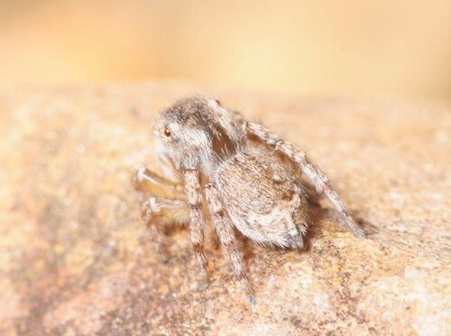
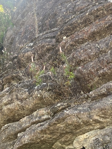
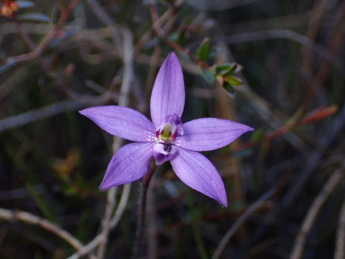
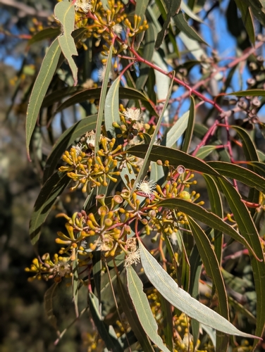
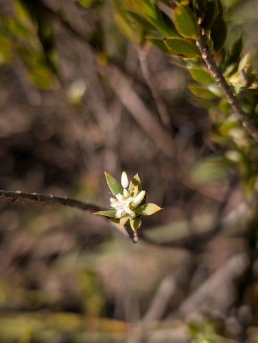
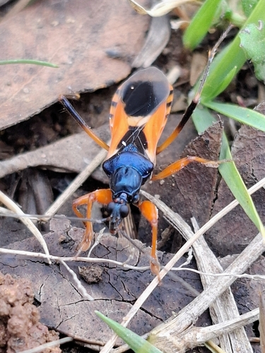
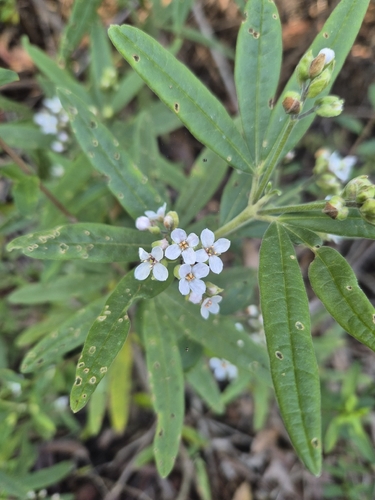
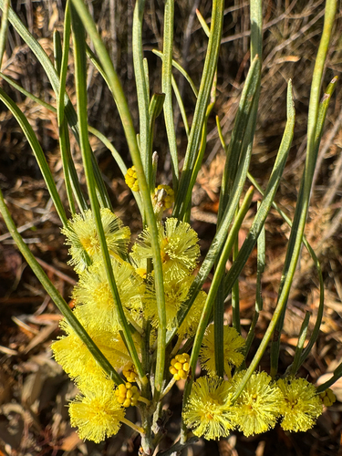
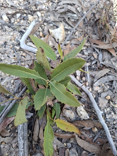
Research-grade observations from iNaturalist (within ~15 mi).
Events
Gallery
Official Identifiers
ABS — Australian Bureau of Statistics
- ASGS 2021
- SAL12939
- Population (Wikidata)
- 72
- Wikidata
- Q6996659
ASGS 2021 ID via Wikidata P10112
Sources
- • Wikipedia
- • Wikidata
- • USGS Earthquake Catalog (global feed)
- • GBIF (Global Biodiversity Information Facility)
- • iNaturalist
- • Open-Meteo / sunrise-sunset.org
- • Wikipedia Pageviews API
- • ABS — Australian Bureau of Statistics — ASGS 2021 ID via Wikidata P10112