Browse / Australia / Western Australia / Nyabing
Nyabing
Western Australiavillage
Total population
296
Demographic figures from Australian Bureau of Statistics. Overview below cites Wikipedia and may reference a different year.
City facts
Facts from Wikidata (CC0).
Overview
Nyabing is a small town and locality in the Great Southern region of Western Australia. The name is of Aboriginal origin and is thought to derive from the Aboriginal word "ne-yameng", which is the name of an everlasting flower Rhodanthe manglesii. It is one of two localities in the Shire of Kent, the other being Pingrup, covering the east of the shire.
Read more on WikipediaHistory & geography
History
Nyabing and the Shire of Kent are located on the traditional land of the Koreng people of the Noongar nation. The first Europeans to visit the area were sandalwood cutters, and the first lease taken in the area was by settler John Hassell in 1873. The townsite was planned in 1911 as part of the Great Southern Railway; the name given to the siding was Nampup. The name Nampup is also Aboriginal in origin and is the name of a local soak. Lots were surveyed later in the year and the town was gazetted in 1912. The name was changed later that year after several complaints that Nampup was too similar to Nannup; the town was renamed to Nyabing. The town became a stop on the Katanning to Pingrup railway line when it opened as far Nyabing in 1912 and was extended to Pingrup in 1923. The surrounding areas produce wheat and other cereal crops. The town is a receival site for Cooperative Bulk Handling. Along the Katanning-Nyabing Road, two other town sites exist within the locality, Kwobrup and Moornaming, both located west of the townsite of Nyabing.
Excerpted from the corresponding Wikipedia article (CC BY-SA).
Geography
Coordinates & boundaries from the US Census TIGER/Line shapefiles.
Climate
Air quality
Walkability
Amenities nearby
Wildlife & biodiversity
Earthquake history
Photos
Sights & places nearby
Notable people from here
Geography & sun
Elevation, sunrise/sunset and daylight from Open-Meteo. Solar climatology from NASA POWER.
Nearby airports
Public attention
Pageview totals from the Wikimedia Pageviews API.
Books about this place
Recent natural events nearby
Ground air-quality sensors
Recently spotted species
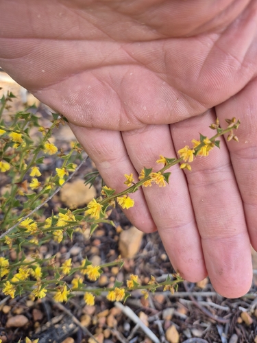

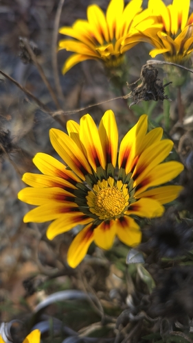
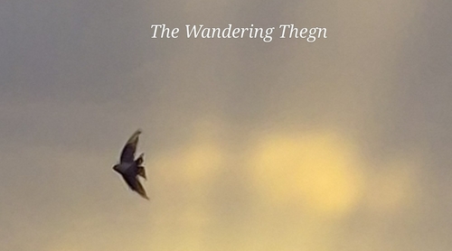
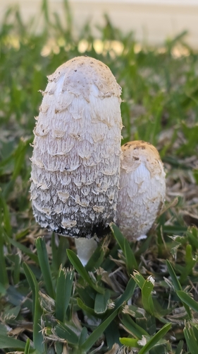
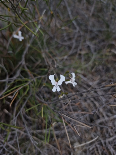
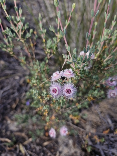
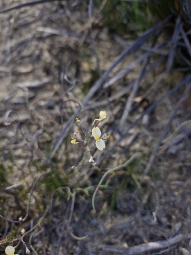
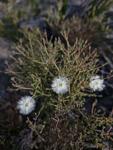
Research-grade observations from iNaturalist (within ~15 mi).
Events
Gallery
Official Identifiers
ABS — Australian Bureau of Statistics
- ASGS 2021
- SAL51171
- Population (Wikidata)
- 260
- Wikidata
- Q3879964
ASGS 2021 ID via Wikidata P10112
Sources
- • Wikipedia
- • Wikidata
- • iNaturalist
- • Open-Meteo / sunrise-sunset.org
- • Wikipedia Pageviews API
- • ABS — Australian Bureau of Statistics — ASGS 2021 ID via Wikidata P10112