Browse / Australia / New South Wales / Orange
Orange
New South Walescity

Orange
Total population
40,127
Founded
1846
Air quality index
Demographic figures from Australian Bureau of Statistics. Overview below cites Wikipedia and may reference a different year.
City facts
Sister cities
Facts from Wikidata (CC0).
Overview
Orange is a city on the western edge of the Central Tablelands region in New South Wales, Australia. It is 254 km (158 mi) west of the state capital, Sydney [206 km (128 mi) on a great circle], at an altitude of 862 metres (2,828 ft). Orange had an urban population of 41,920 at the 2021 Census, making the city a significant regional centre. A significant nearby landmark is Mount Canobolas with a peak elevation of 1,395 m (4,577 ft) AHD and commanding views of the district. Orange is situated within the traditional lands of the Wiradjuri tribe.
Read more on WikipediaHistory & geography
History
The Orange region is the traditional land of the Wiradjuri people. Known as the people of the three rivers, the Wiradjuri people have inhabited New South Wales for at least 60,000 years. In 1822 Captain Percy Simpson arrived in the Wellington District and established a convict settlement which was called "Blackman's Swamp" after James Blackman; Simpson had employed James Blackman as a guide because he had already accompanied an earlier explorer, John Oxley into that region. In the late 1820s, the surveyor J. B. Richards worked on a survey of the Macquarie River below Bathurst and also of the road to Wellington. On a plan dated 1829, he indicated a village reserve, in the parish of Orange. Sir Thomas Mitchell named the parish Orange, as he had been an associate of the Prince of Orange in the Peninsular War, when both were aides-de-camp to the Duke of Wellington, whose title was bestowed on the valley to the west by Oxley. Initial occupation by graziers began in late 1829, and tiny settlements eventually turned into larger towns as properties came into connection with the road. In 1844, the surveyor Davidson was sent to check on encroachments onto the land reserved for a village, and to advise on the location for a township. His choices were Frederick's Valley, Pretty Plains, or Blackman's Swamp. Blackman's Swamp was chosen, and it was proclaimed a village and named Orange by Major Thomas Mitchell in 1846 in honour of Prince William of Orange. At nearby Ophir, a significant gold find in Australia was made in 1851, resulting in a sporadic population movement which is known as the Australian gold rush. Additional gold finds in nearby areas led to the establishment of Orange as a central trading centre for the gold. The growth of Orange continued as the conditions…
Geography
Owing to its altitude, Orange has a temperate oceanic climate (Köppen Cfb), with warm summers (though with cool mornings) and cold, wet winters with frequent morning frosts. The city is relatively wet for an inland location owing to the orographic lifting brought on by Mount Canobolas, especially during the cooler months when snow falls; Orange is the snowiest major city in Australia. Compared with most population centres in Australia it has colder winters, especially in terms of its daytime maximum temperatures, owing to its elevation and westerly exposure. In summer, the average (and absolute) maximum temperatures are also lower than in most inland centres. Humidity is low in the summer months with the afternoon dew point typically around . The city features 99.8 clear days annually, with the majority of sunshine in the summer months, in sharp contrast to Sydney which has more sunshine in winter due to the foehn effect. The climate has enabled the area to be a major apple and pear producer, and a centre for cool-weather wine production.
Excerpted from the corresponding Wikipedia article (CC BY-SA).
Geography
Coordinates & boundaries from the US Census TIGER/Line shapefiles.
Climate
10-year averages from ERA5 reanalysis (Open-Meteo).
Air quality
Current readings from Open-Meteo Air Quality API (Copernicus CAMS European reanalysis).
Walkability
Amenities nearby
Wildlife & biodiversity
Most-observed species
- Australian MagpieGymnorhina tibicen (Latham, 1802) · Aves3,872
- GalahEolophus roseicapilla (Vieillot, 1817) · Aves2,909
- Crimson RosellaPlatycercus elegans (Gmelin, 1788) · Aves2,704
- Magpie-larkGrallina cyanoleuca (Latham, 1802) · Aves2,573
- Superb FairywrenMalurus cyaneus (Ellis, 1782) · Aves2,428
- Red WattlebirdAnthochaera carunculata (Shaw, 1790) · Aves2,333
- Pied CurrawongStrepera graculina (Shaw, 1790) · Aves2,225
- Australian RavenCorvus coronoides Vigors & Horsfield, 1827 · Aves1,901
Citizen-science & research observations from the Global Biodiversity Information Facility (GBIF).
Earthquake history
Most recent
- M 4.5 — 2026-04-1424 km ENE of Canowindra, Australia
- M 3 — 2020-11-2027 km S of Oberon, Australia
- M 4.2 — 2017-04-1323 km WSW of Millthorpe, Australia
- M 4.2 — 2006-10-2148 km ESE of Cowra, Australia
- M 2.7 — 2006-06-3021 km SSE of Cowra, Australia
- M 2.9 — 2005-02-2019 km S of Cowra, Australia
Events from the USGS Earthquake Catalog (global) (FDSN Event Web Service).
Photos
Sights & places nearby
Notable people from here


People born within ~10 km, from Wikidata (CC0). Click any name for their Wikipedia article.
Nearby places in New South Wales
Geography & sun
Elevation, sunrise/sunset and daylight from Open-Meteo. Solar climatology from NASA POWER.
Nearby airports
Public attention
Pageview totals from the Wikimedia Pageviews API.
Books about Orange

Search results from Open Library.
Recent natural events nearby
Ground air-quality sensors
Recently spotted species
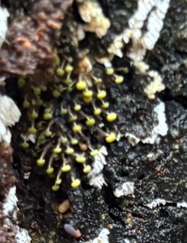
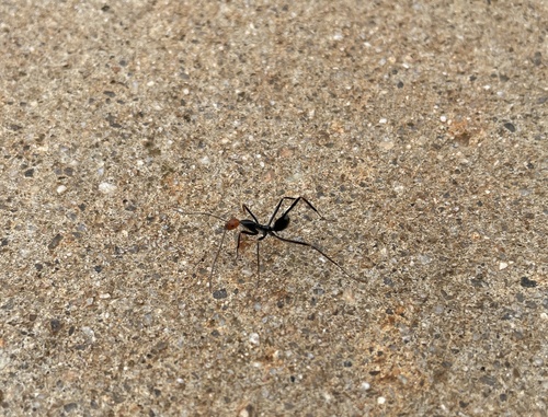
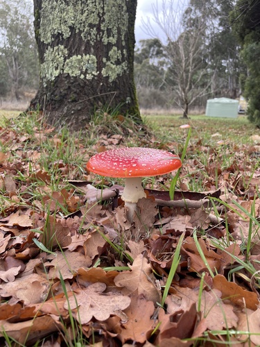
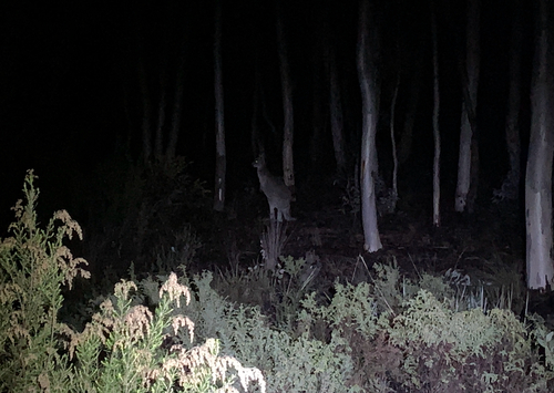
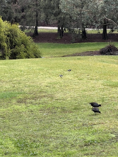
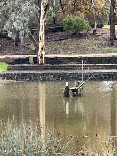
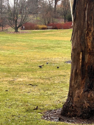
Research-grade observations from iNaturalist (within ~15 mi).
Events
Gallery
Geotagged photos within ~6 miles of Orange, from Wikimedia Commons contributors.
 0.1 mi
 0.1 mi
.jpg) 0.1 mi
0.1 mi.jpg) 0.1 mi
0.1 mi.jpg) 0.1 mi
0.1 mi.jpg) 0.1 mi
0.1 mi.jpg) 0.1 mi
0.1 mi.jpg) 0.1 mi
0.1 mi 0.2 mi
 0.2 mi
 0.2 mi
.jpg) 0.2 mi
0.2 mi.jpg) 0.2 mi
0.2 mi.jpg) 0.2 mi
0.2 mi 0.2 mi
 0.3 mi
 0.3 mi
 0.3 mi
 0.3 mi
 0.3 mi
 0.3 mi
.jpg) 0.3 mi
0.3 mi.jpg) 0.3 mi
0.3 mi 0.3 mi
Photos via Wikimedia Commons — see each image page for license & attribution.
Sources
- • Wikipedia
- • Open-Meteo (ERA5 reanalysis)
- • Wikimedia Commons
- • Wikidata
- • Open-Meteo Air Quality (CAMS)
- • USGS Earthquake Catalog (global feed)
- • GBIF (Global Biodiversity Information Facility)
- • iNaturalist
- • Open-Elevation
- • Open-Meteo / sunrise-sunset.org
- • Wikipedia Pageviews API
- • Open Library