Browse / Australia / South Australia / Orroroo
Orroroo
South Australiatown

Orroroo
Total population
516
Air quality index
Demographic figures from Australian Bureau of Statistics. Overview below cites Wikipedia and may reference a different year.
City facts
Facts from Wikidata (CC0).
Overview
Orroroo is a town in the Yorke and Mid North region of South Australia. At the 2016 census, the locality of Orroroo had a population of 610 while its urban centre had a population of 537. The Wilmington-Ucolta Road passes through here, intersecting with the RM Williams Way which leads to the Birdsville and Oodnadatta Tracks. The Peterborough–Quorn railway line extended from Peterborough to Orroroo also in 1881 and Quorn in 1882, connecting with the new Central Australia Railway from Port Augusta. These railways have now been abandoned. Orroroo is situated near Goyder's Line, a line drawn up in 1865 by Surveyor General Goyder which he believed indicated the edge of the area suitable for agriculture.
Read more on WikipediaHistory & geography
History
Prior to European settlement, Orroroo was the home of the Ngadjuri Aboriginal people whose domain was the area to the east of the Flinders Rangers. The name Orroroo was thought to be a form of onomatopoeia in imitation of wind blowing through acacia trees. According to J. Gray, it actually meant 'early start', referring to the fact that the Ngadjuri, who usually camped at Pekina Creek, would move to camp at the Orroroo river the night before hunting for kangaroos, which would come up to the river at that point and thus allow them to make an early start at dawn for the hunt. Aboriginal origins, but the true meaning of the word is uncertain. The name was first used by an early pioneer who conducted a nearby coaching house which served travellers on the Burra-Blinman track. In 1844, the first Europeans to settle, John and James Chambers, took up the Pekina Run which covered 320 square miles. They did not receive any rain during the 17 months that they lived there. As a result of this drought, they sold the Pekina Run for £30. Charlie Easther settled in Orroroo during 1864 and opened up an eating house that became a popular stopping point for the drovers and bullockies who travelled through the area. The town was surveyed in 1875, when Solly's Hut, a clay-pugged log structure, was constructed as the town's first house and is now used as a museum. In September 1875, the town was officially named by George Goyder following the suggestion made by Charlie Easther . The first land sales were made in May 1876. The town was granted its own local council, the District Council of Orroroo, in 1887 (taking effect in 1888), and the town's council offices were constructed in 1888. The District Council of Orroroo would survive until 1997, when it was merged to create the District…
Excerpted from the corresponding Wikipedia article (CC BY-SA).
Geography
Coordinates & boundaries from the US Census TIGER/Line shapefiles.
Climate
10-year averages from ERA5 reanalysis (Open-Meteo).
Air quality
Current readings from Open-Meteo Air Quality API (Copernicus CAMS European reanalysis).
Walkability
Amenities nearby
Wildlife & biodiversity
Most-observed species
- GalahEolophus roseicapilla (Vieillot, 1817) · Aves86
- Australian MagpieGymnorhina tibicen (Latham, 1802) · Aves86
- Spiny-cheeked HoneyeaterAcanthagenys rufogularis Gould, 1838 · Aves66
- Magpie-larkGrallina cyanoleuca (Latham, 1802) · Aves58
- Willie-wagtailRhipidura leucophrys (Latham, 1802) · Aves58
- Australian RingneckBarnardius zonarius (Shaw, 1805) · Aves56
- White-plumed HoneyeaterPtilotula penicillata (Gould, 1837) · Aves55
- Little RavenCorvus mellori Mathews, 1912 · Aves50
Citizen-science & research observations from the Global Biodiversity Information Facility (GBIF).
Earthquake history
Most recent
- M 4.3 — 2025-02-0883 km NE of Quorn, Australia
- M 4.9 — 2025-01-1174 km ENE of Quorn, Australia
- M 4.3 — 2024-04-178 km ENE of Jamestown, Australia
- M 4.9 — 2023-03-2260 km ENE of Peterborough, Australia
- M 3.3 — 2018-07-099 km NNW of Jamestown, Australia
- M 4 — 2017-04-2429 km ENE of Quorn, Australia
Events from the USGS Earthquake Catalog (global) (FDSN Event Web Service).
Photos
Sights & places nearby
Notable people from here
Nearby places in South Australia
- Black Rock8 mi away
- Stone Hut31.5 mi away
- Gladstone39.9 mi away · pop. 623
- Port Germein40.8 mi away · pop. 282
- Napperby41 mi away · pop. 291
- Miranda41.5 mi away · pop. 30
- Weeroona Island42.4 mi away · pop. 115
- Pichi Richi43.5 mi away
- Warnertown44.9 mi away
- Georgetown45.2 mi away · pop. 105
- Douglas Point South48.4 mi away
- Crystal Brook48.8 mi away · pop. 1,322
Geography & sun
Elevation, sunrise/sunset and daylight from Open-Meteo. Solar climatology from NASA POWER.
Nearby airports
Public attention
Pageview totals from the Wikimedia Pageviews API.
Books about Orroroo
Search results from Open Library.
Recent natural events nearby
Ground air-quality sensors
Recently spotted species
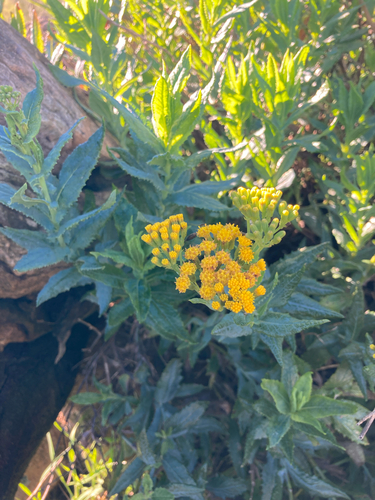
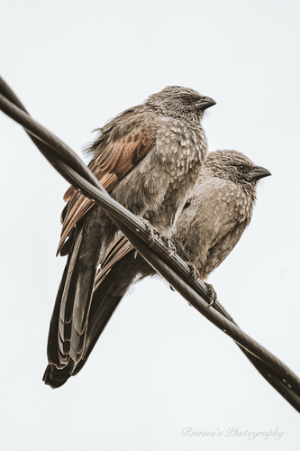
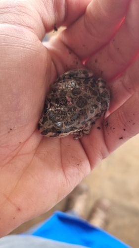
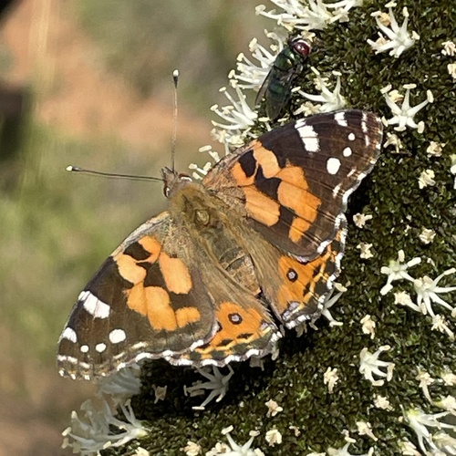
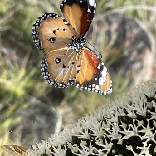
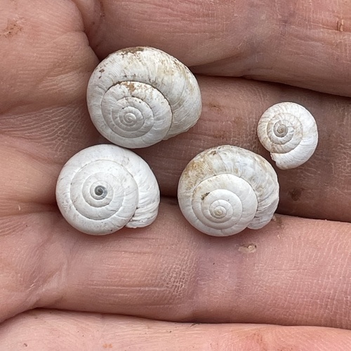
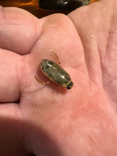
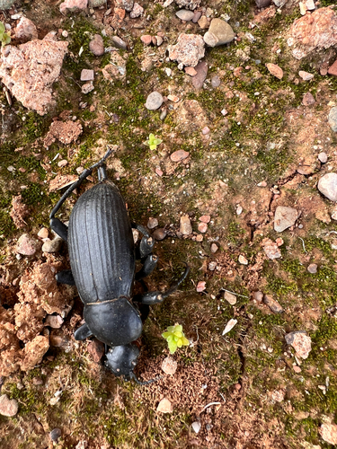
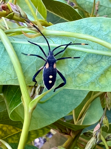
Research-grade observations from iNaturalist (within ~15 mi).
Events
Gallery
Geotagged photos within ~6 miles of Orroroo, from Wikimedia Commons contributors.
.jpg) 0.1 mi
0.1 mi 0.1 mi
.jpg) 0.1 mi
0.1 mi.jpg) 0.1 mi
0.1 mi.jpg) 0.1 mi
0.1 mi.jpg) 0.1 mi
0.1 mi.jpg) 0.1 mi
0.1 mi.jpg) 0.1 mi
0.1 mi.jpg) 0.1 mi
0.1 mi.jpg) 0.1 mi
0.1 mi.jpg) 0.1 mi
0.1 mi.jpg) 0.1 mi
0.1 mi.jpg) 0.1 mi
0.1 mi.jpg) 0.1 mi
0.1 mi.jpg) 0.1 mi
0.1 mi.jpg) 0.1 mi
0.1 mi.jpg) 0.1 mi
0.1 mi.jpg) 0.1 mi
0.1 mi.jpg) 0.1 mi
0.1 mi.jpg) 0.1 mi
0.1 mi.jpg) 0.1 mi
0.1 mi.jpg) 0.1 mi
0.1 mi.jpg) 0.1 mi
0.1 mi.jpg) 0.1 mi
0.1 miPhotos via Wikimedia Commons — see each image page for license & attribution.
Sources
- • Wikipedia
- • Open-Meteo (ERA5 reanalysis)
- • Wikimedia Commons
- • Wikidata
- • Open-Meteo Air Quality (CAMS)
- • USGS Earthquake Catalog (global feed)
- • GBIF (Global Biodiversity Information Facility)
- • iNaturalist
- • Open-Meteo / sunrise-sunset.org
- • Wikipedia Pageviews API
- • Open Library