Browse / Australia / Northern Territory / Papunya
Papunya
Northern Territoryvillage

Papunya
Total population
438
Air quality index
Demographic figures from Australian Bureau of Statistics. Overview below cites Wikipedia and may reference a different year.
City facts
Facts from Wikidata (CC0).
Overview
Papunya is a small Indigenous Australian community roughly 240 kilometres (150 mi) northwest of Alice Springs (Mparntwe) in the Northern Territory, Australia. It is known as an important centre for Contemporary Indigenous Australian art, in particular the style created by the Papunya Tula artists in the 1970s, referred to colloquially as dot painting. Its population in 2016 was 404.
Read more on WikipediaHistory & geography
History
Pintupi and Luritja people were forced off their traditional country in the 1930s and moved into Hermannsburg (Ntaria) and Haasts Bluff, where there were government ration depots. There were often tragic confrontations between these people, with their nomadic hunter-gathering lifestyle, and the cattlemen who were moving into the country and over-using the limited water supplies of the region for their cattle. The Australian Government built a water bore and some basic housing at Papunya in the 1950s to provide room for the increasing populations of people in the already-established Aboriginal communities and reserves. The community grew to over a thousand people in the early 1970s and was plagued by poor living conditions, health problems, and tensions between various tribal and linguistic groups. These festering problems led many people, especially the Pintupi, to move further west closer to their traditional country. After settling in a series of outstations, with little or no support from the government, the new community of Kintore was established about west of Papunya in the early 1980s. The term "Finke River Mission" was initially an alternative name for the mission at Hermannsburg, but this name was later often used to include the settlements at Haasts Bluff, Areyonga and, later, Papunya. It now refers to all Lutheran missionary activity in Central Australia since the first mission was established at Hermannsburg in 1877.
Excerpted from the corresponding Wikipedia article (CC BY-SA).
Geography
Coordinates & boundaries from the US Census TIGER/Line shapefiles.
Climate
10-year averages from ERA5 reanalysis (Open-Meteo).
Air quality
Current readings from Open-Meteo Air Quality API (Copernicus CAMS European reanalysis).
Walkability
Amenities nearby
Wildlife & biodiversity
Most-observed species
- Zebra FinchTaeniopygia guttata (Vieillot, 1817) · Aves21
- Central Australian Rock RatZyzomys pedunculatus (Waite, 1896) · Mammalia20
- Willie-wagtailRhipidura leucophrys (Latham, 1802) · Aves20
- Crested PigeonOcyphaps lophotes (Temminck, 1822) · Aves13
- Diamond DoveGeopelia cuneata (Latham, 1801) · Aves12
- BudgerigarMelopsittacus undulatus (Shaw, 1805) · Aves11
- Fat-tailed false antechinusPseudantechinus macdonnellensis (Spencer, 1896) · Mammalia10
- Brown FalconFalco berigora Vigors & Horsfield, 1827 · Aves10
Citizen-science & research observations from the Global Biodiversity Information Facility (GBIF).
Earthquake history
Most recent
- M 4.1 — 2026-05-21220 km WNW of Larapinta, Australia
- M 2.8 — 2006-06-15223 km WNW of Larapinta, Australia
Events from the USGS Earthquake Catalog (global) (FDSN Event Web Service).
Photos
Sights & places nearby
Notable people from here

People born within ~10 km, from Wikidata (CC0). Click any name for their Wikipedia article.
Nearby places in Northern Territory
Geography & sun
Elevation, sunrise/sunset and daylight from Open-Meteo. Solar climatology from NASA POWER.
Nearby airports
Public attention
Pageview totals from the Wikimedia Pageviews API.
Books about Papunya
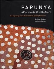


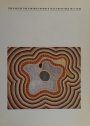


Search results from Open Library.
Recent natural events nearby
Ground air-quality sensors
Recently spotted species
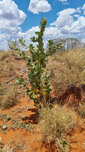
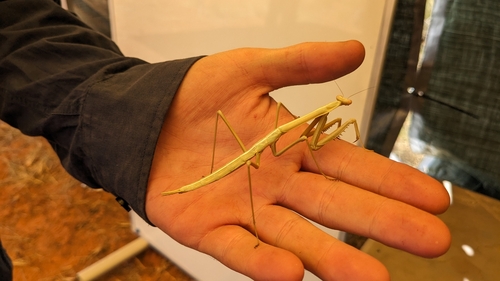
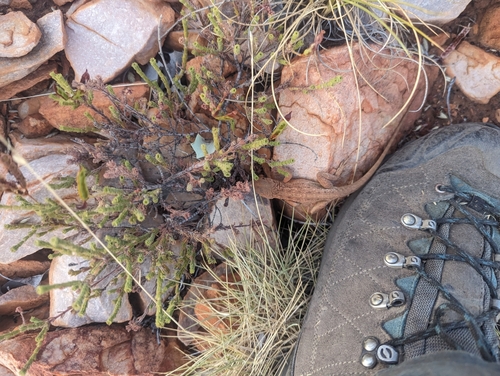
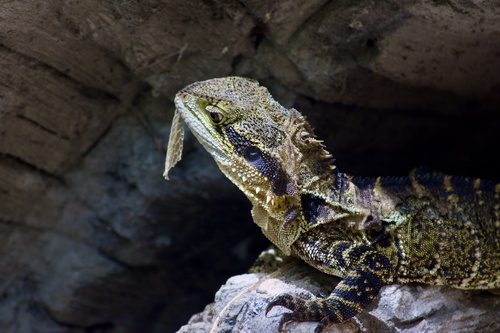
Research-grade observations from iNaturalist (within ~15 mi).
Events
Gallery
Sources
- • Wikipedia
- • Open-Meteo (ERA5 reanalysis)
- • Wikidata
- • Open-Meteo Air Quality (CAMS)
- • USGS Earthquake Catalog (global feed)
- • GBIF (Global Biodiversity Information Facility)
- • iNaturalist
- • Open-Elevation
- • Open-Meteo / sunrise-sunset.org
- • Wikipedia Pageviews API
- • Open Library