Browse / Australia / New South Wales / Penrith
Penrith
New South Walestown

Penrith
Total population
178,465
Air quality index
Demographic figures from Australian Bureau of Statistics. Overview below cites Wikipedia and may reference a different year.
City facts
Facts from Wikidata (CC0).
Overview
Penrith is a suburb in Outer Western Sydney, New South Wales, Australia. It is located 55 kilometres (34 mi) west of the Sydney central business district on the eastern bank of the Nepean River. It is on the outskirts of the Cumberland Plain at an elevation of 32 metres (105 ft). Penrith is the administrative centre for the City of Penrith local government area.
Read more on WikipediaHistory & geography
History
Prior to the arrival of the Europeans, the Penrith area was home to the Mulgoa tribe of the Darug people. They lived in makeshift huts called gunyahs, hunted native animals such as kangaroos, fished in the Nepean River, and gathered local fruits and vegetables such as yams.. Most of the Mulgoa were killed by smallpox or galgala shortly after the arrival of the First Fleet in 1788. Early British explorers such as Watkin Tench described them as friendly, saying, "they bade us adieu, in unabated friendship and good humour". The recorded history of Penrith began on 26 June 1789. Eighteen months after the landing of the First Fleet, an exploring party led by Captain Watkin Tench set out to further discoveries made by Governor Arthur Phillip earlier in the month. In the daylight hours of 27 June, Tench and his party discovered the broad expanse of the Nepean River. Tench's party became the first Europeans to see the site of what is now the City of Penrith. Tench later wrote 'we found ourselves on the banks of a river, nearly as broad as the Thames at Putney and apparently of great depth'. Phillip later named the river after Evan Nepean, the under-secretary of state in the Home Office, who had been largely responsible for the organisation of the First Fleet. From this point, European settlement began in earnest, firstly on the Hawkesbury River, and later southward up the Nepean. Governor Phillip Gidley King began granting land in the area to settlers in 1804 with Captain Daniel Woodriff's on the banks of the river the first land grant in the area. The first government building in the district was the military depot built (at the present Penrith police station) by William Cox, in mid-1815 near the new Road (Great Western Road) on unassigned Crown land, set well back from…
Geography
Penrith sits on the western edge of the Cumberland Plain, a fairly flat area of Western Sydney, extending to Windsor in the north, Parramatta in the east and Thirlmere in the south. The Nepean River forms the western boundary of the suburb and beyond that, dominating the western skyline, are the Blue Mountains. There is a difference of opinion between Penrith City Council and the Geographical Names Board of New South Wales as to the boundaries of Penrith the suburb. The Board includes in its official description the area of Kingswood Park, Lemongrove and North Penrith, which the Council considers separate suburbs. Penrith has a humid subtropical climate (Köppen: Cfa) with long, hot summers, mild to cool short winters with cold nights, and pleasant spring and autumn. The daytime temperatures are generally a few degrees hotter than Sydney (Observatory Hill), especially during spring and summer, when the difference in temperature between Penrith and the Sydney area can be quite pronounced. Night-time temperatures are a few degrees cooler than Sydney on most nights of the year. In extreme cases, there could be a temperature differential of in summer, owing to sea breezes, which affect coastal areas much more than areas further from the ocean and do not usually penetrate as far inland as Penrith. Frost occasionally occurs on some winter mornings, mainly due to a mountain breeze and a temperature inversion caused by the proximate mountains. The average summer temperature range is from and in the winter . Mean yearly rainfall in Penrith is , which is significantly less than recorded closer to the coast (Sydney Observatory Hill's mean yearly rainfall is ), as coastal showers do not penetrate inland. The highest recorded temperature was on 4 January 2020 — a day when…
Excerpted from the corresponding Wikipedia article (CC BY-SA).
Geography
Coordinates & boundaries from the US Census TIGER/Line shapefiles.
Climate
10-year averages from ERA5 reanalysis (Open-Meteo).
Air quality
Current readings from Open-Meteo Air Quality API (Copernicus CAMS European reanalysis).
Walkability
Amenities nearby
Wildlife & biodiversity
Most-observed species
- Rainbow LorikeetTrichoglossus haematodus (Linnaeus, 1771) · Aves11,609
- Noisy MinerManorina melanocephala (Latham, 1801) · Aves10,051
- Sulphur-crested CockatooCacatua galerita (Latham, 1790) · Aves9,593
- Australian MagpieGymnorhina tibicen (Latham, 1802) · Aves9,239
- Australian RavenCorvus coronoides Vigors & Horsfield, 1827 · Aves8,023
- Magpie-larkGrallina cyanoleuca (Latham, 1802) · Aves6,844
- Superb FairywrenMalurus cyaneus (Ellis, 1782) · Aves6,762
- Common MynaAcridotheres tristis (Linnaeus, 1766) · Aves6,729
Citizen-science & research observations from the Global Biodiversity Information Facility (GBIF).
Earthquake history
Most recent
- M 3.6 — 2025-05-283 km WNW of Cobbitty, Australia
- M 3.5 — 2024-03-0814 km SSW of Woodford, Australia
- M 3 — 2020-11-2027 km S of Oberon, Australia
- M 3 — 2007-08-2224 km W of Oakdale, Australia
- M 3.2 — 2007-08-1810 km NW of Mittagong, Australia
- M 2.6 — 2007-08-1811 km NW of Mittagong, Australia
Events from the USGS Earthquake Catalog (global) (FDSN Event Web Service).
Photos
Sights & places nearby
Notable people from here


People born within ~10 km, from Wikidata (CC0). Click any name for their Wikipedia article.
Nearby places in New South Wales
Geography & sun
Elevation, sunrise/sunset and daylight from Open-Meteo. Solar climatology from NASA POWER.
Nearby airports
Public attention
Pageview totals from the Wikimedia Pageviews API.
Books about Penrith

Search results from Open Library.
Recent natural events nearby
Ground air-quality sensors
Recently spotted species
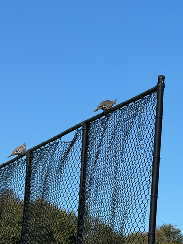
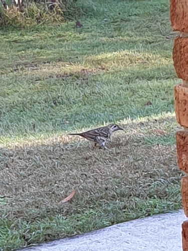
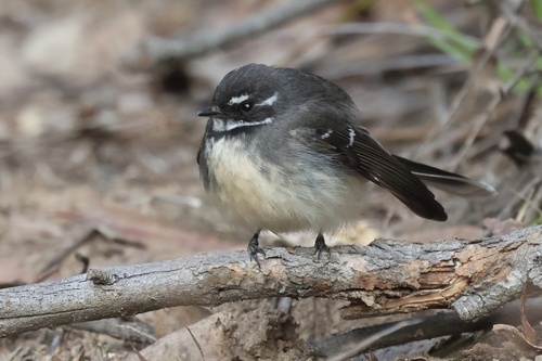
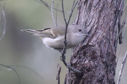
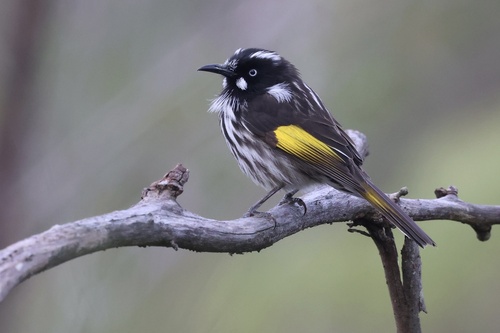
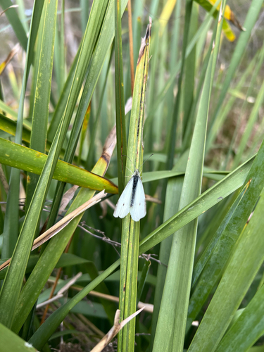
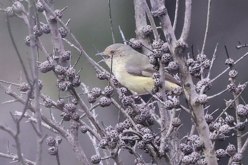
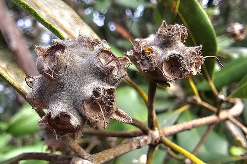
Research-grade observations from iNaturalist (within ~15 mi).
Events
Notable, recurring, and historical events associated with Penrith, sourced from Wikidata.
- Sep 29, 2025
Source: Wikidata (CC0).
Gallery
Geotagged photos within ~6 miles of Penrith, from Wikimedia Commons contributors.
 0 mi
0 mi.jpg) 0.1 mi
0.1 mi.jpg) 0.1 mi
0.1 mi.jpg) 0.1 mi
0.1 mi.jpg) 0.1 mi
0.1 mi.jpg) 0.1 mi
0.1 mi.jpg) 0.1 mi
0.1 mi.jpg) 0.1 mi
0.1 mi.jpg) 0.1 mi
0.1 mi.jpg) 0.1 mi
0.1 mi.jpg) 0.1 mi
0.1 mi.jpg) 0.1 mi
0.1 mi.jpg) 0.1 mi
0.1 mi.jpg) 0.1 mi
0.1 mi.jpg) 0.1 mi
0.1 mi.jpg) 0.1 mi
0.1 mi.jpg) 0.1 mi
0.1 mi.jpg) 0.1 mi
0.1 mi.jpg) 0.1 mi
0.1 mi.jpg) 0.1 mi
0.1 mi.jpg) 0.1 mi
0.1 mi.jpg) 0.1 mi
0.1 mi.jpg) 0.1 mi
0.1 mi.jpg) 0.1 mi
0.1 miPhotos via Wikimedia Commons — see each image page for license & attribution.
Sources
- • Wikipedia
- • Open-Meteo (ERA5 reanalysis)
- • Wikimedia Commons
- • Wikidata
- • Open-Meteo Air Quality (CAMS)
- • USGS Earthquake Catalog (global feed)
- • GBIF (Global Biodiversity Information Facility)
- • iNaturalist
- • Open-Elevation
- • Open-Meteo / sunrise-sunset.org
- • Wikipedia Pageviews API
- • Open Library