Browse / Australia / Victoria / Peterborough
Peterborough
Victoriavillage

Peterborough
Demographic figures from Australian Bureau of Statistics. Overview below cites Wikipedia and may reference a different year.
City facts
Overview
Peterborough is a town on the Great Ocean Road in Victoria, Australia, approximately three hours' drive from Melbourne. The town is situated on land to the west side of the mouth of the Curdies River.
Read more on WikipediaHistory & geography
History
Aboriginal peoples occupied the area for thousands of years before European settlement. In 1845 Dr Daniel Curdie made the difficult journey from his homestead at Tandarook to follow the river to its mouth. He named the area Peterborough after his friend Dr Peter Reid of Richmond. The town was believed to have been founded when the schooner SS Schomberg was wrecked in the middle of the 19th century, though the town was not sufficiently populated to justify a post office until 10 April 1890. It has since become a fishing and holiday village. There are two public tennis courts and beaches, and a nine-hole golf course at the Peterborough Golf Club on Schomberg Road. At the , Peterborough had a population of 178, which had grown to 247 at the 2016 census. The town is situated near The Twelve Apostles and London Bridge land formations, and is part of the Shipwreck Coast. Many ships have been wrecked in the vicinity, due to limestone cliffs eroding away and leaving patches of harder rock concealed just under the waves quite a distance out to sea. This erosion continues, evidenced by the London Bridge formation collapsing in the early 1990s. One of the most famous wrecks was the Falls of Halladale which was wrecked in 1908 in thick fog, and became a tourist attraction for the next few years as it remained on the reef it was stuck on.
Excerpted from the corresponding Wikipedia article (CC BY-SA).
Geography
Coordinates & boundaries from the US Census TIGER/Line shapefiles.
Climate
Air quality
Walkability
Amenities nearby
Wildlife & biodiversity
Most-observed species
- European StarlingSturnus vulgaris Linnaeus, 1758 · Aves1,442
- Superb FairywrenMalurus cyaneus (Ellis, 1782) · Aves1,416
- Silver GullChroicocephalus novaehollandiae (Stephens, 1826) · Aves1,195
- Australian MagpieGymnorhina tibicen (Latham, 1802) · Aves1,097
- Welcome SwallowHirundo neoxena Gould, 1842 · Aves983
- Eurasian BlackbirdTurdus merula Linnaeus, 1758 · Aves886
- Little RavenCorvus mellori Mathews, 1912 · Aves837
- Singing HoneyeaterGavicalis virescens (Vieillot, 1817) · Aves806
Citizen-science & research observations from the Global Biodiversity Information Facility (GBIF).
Earthquake history
Most recent
- M 4.1 — 2026-07-0528 km WNW of Apollo Bay, Australia
- M 3.5 — 2023-10-2110 km NW of Apollo Bay, Australia
- M 4.8 — 2023-10-2116 km WNW of Apollo Bay, Australia
- M 3.5 — 2005-06-3059 km S of Port Fairy, Australia
Events from the USGS Earthquake Catalog (global) (FDSN Event Web Service).
Photos
Sights & places nearby
Notable people from here
Nearby places in Victoria
- Curdievale5.8 mi away
- Port Campbell6.5 mi away · pop. 231
- Nirranda South6.9 mi away
- Ecklin South15.3 mi away
- Princetown16.2 mi away
- Garvoc21.6 mi away
- Framlingham Aboriginal community24.1 mi away
- Naroghid25.8 mi away
- Purnim West27.2 mi away
- Lavers Hill28.2 mi away · pop. 33
- Johanna28.9 mi away
- Camperdown29.7 mi away · pop. 2,884
Geography & sun
Elevation, sunrise/sunset and daylight from Open-Meteo. Solar climatology from NASA POWER.
Nearby airports
Public attention
Pageview totals from the Wikimedia Pageviews API.
Books about Peterborough


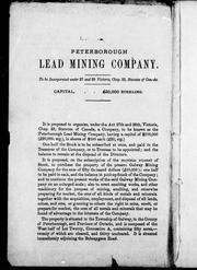
Search results from Open Library.
Recent natural events nearby
Ground air-quality sensors
Recently spotted species
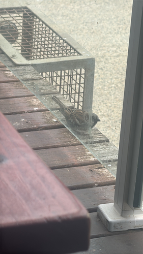
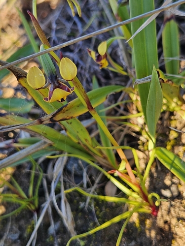
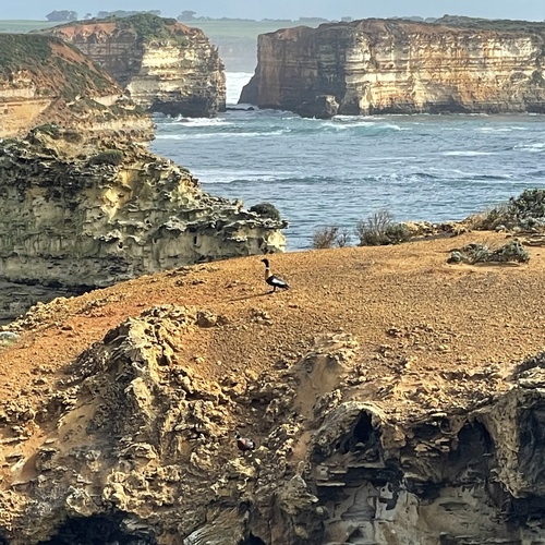
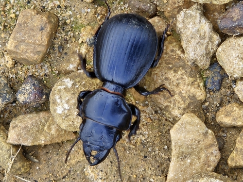
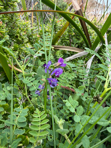
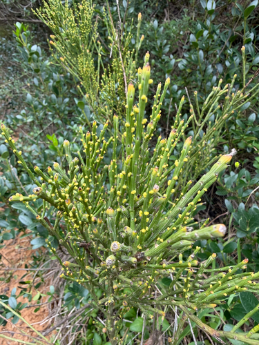
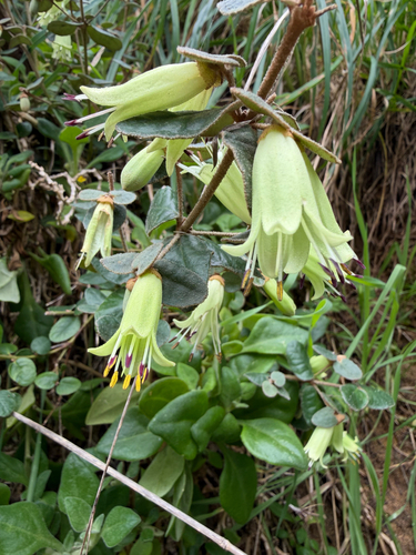
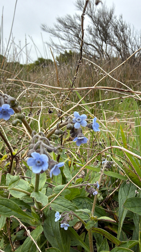
Research-grade observations from iNaturalist (within ~15 mi).
Events
Gallery
Sources
- • Wikipedia
- • Wikidata
- • USGS Earthquake Catalog (global feed)
- • GBIF (Global Biodiversity Information Facility)
- • iNaturalist
- • Open-Meteo / sunrise-sunset.org
- • Wikipedia Pageviews API
- • Open Library