Browse / Australia / Queensland / Pinbarren
Pinbarren
Queenslandhamlet

Pinbarren
Demographic figures from Australian Bureau of Statistics. Overview below cites Wikipedia and may reference a different year.
City facts
Overview
Pinbarren is a rural town and locality in the Shire of Noosa, Queensland, Australia. In the 2021 census, the locality of Pinbarren had a population of 447 people.
Read more on WikipediaHistory & geography
History
The name Pinbarren appears to be a corruption of an Aboriginal name Pimperon for the local mountain. Pinbarren Creek Provisional School opened in 1905. On 1 January 1909, it became Pinbarren Creek State School. The school was closed in 1939. From 1939 to 1943 the Pomona School Forestry Club planted Hoop Pine, Kauri Pine, Flooded Gum and Silky Oak trees on the school site and it was named the Pomona Memorial Forestry Plot on 31 October 1944. A white cross and memorial plaque are present alongside the Pomona-Kin Kin Road. The site was rededicated in 1995 as part of the Pomona High Schools golden jubilee. Pinbarren Community Christian College opened on 10 February 2003. In 2022, work began on the replacement of the Pinbarren Bridge over Six Mile Creek. The work includes a new two lane concrete bridge raised 3 metres for flood mitigation at a cost of $18 Million dollars. This replaces the previous bridge built in 1934 for a price of £2,800. The new bridge was officially opened by Member for Noosa Sandy Bolton and Member for Maryborough Assistant Minister for Train Manufacturing, Regional Development and Jobs Bruce Saunders on 3 June 2024.
Geography
Pinbarren is on the Sunshine Coast, from the centre of Noosa Heads. It is located at the foot of Mount Pinbarren. Its southern boundary is marked by Six Mile Creek. The town is in the south-west of the locality. Mount Pinbarren is located in Mount Pinbarren National Park, which was established in 1929.
Excerpted from the corresponding Wikipedia article (CC BY-SA).
Geography
Coordinates & boundaries from the US Census TIGER/Line shapefiles.
Climate
Air quality
Walkability
Amenities nearby
Wildlife & biodiversity
Most-observed species
- Lewin's HoneyeaterMeliphaga lewinii (Swainson, 1837) · Aves4,449
- Rainbow LorikeetTrichoglossus haematodus (Linnaeus, 1771) · Aves4,424
- Bar-shouldered DoveGeopelia humeralis (Temminck, 1821) · Aves3,677
- Torresian CrowCorvus orru Bonaparte, 1850 · Aves3,604
- Eastern WhipbirdPsophodes olivaceus (Latham, 1802) · Aves3,168
- Laughing KookaburraDacelo novaeguineae (Hermann, 1783) · Aves3,017
- Australian MagpieGymnorhina tibicen (Latham, 1802) · Aves3,007
- Australasian FigbirdSphecotheres vieilloti Vigors & Horsfield, 1827 · Aves2,936
Citizen-science & research observations from the Global Biodiversity Information Facility (GBIF).
Earthquake history
Most recent
- M 4.9 — 2025-08-1512 km ESE of Cherbourg, Australia
Events from the USGS Earthquake Catalog (global) (FDSN Event Web Service).
Photos
Sights & places nearby
Notable people from here
Geography & sun
Elevation, sunrise/sunset and daylight from Open-Meteo. Solar climatology from NASA POWER.
Nearby airports
Public attention
Pageview totals from the Wikimedia Pageviews API.
Books about this place
Recent natural events nearby
Ground air-quality sensors
Recently spotted species
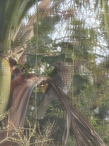
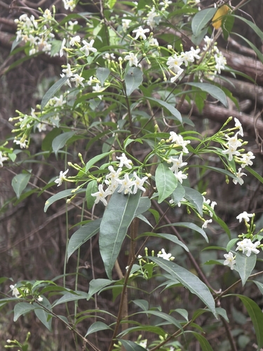
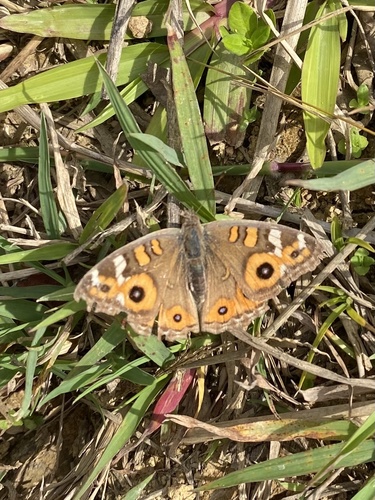
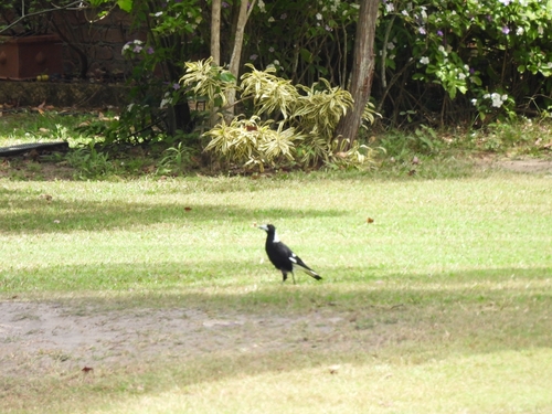
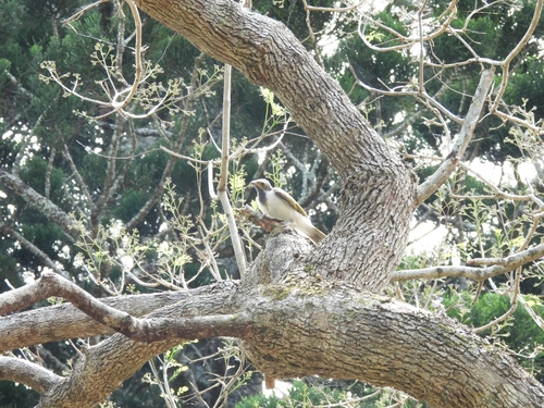
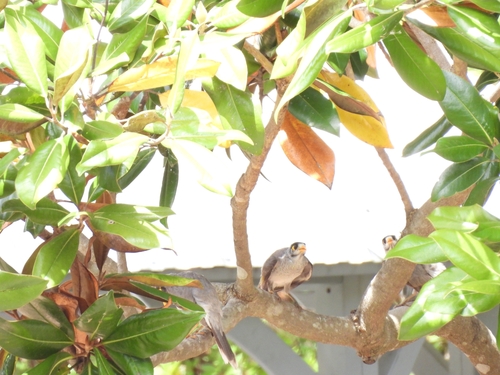
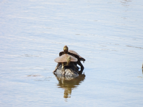
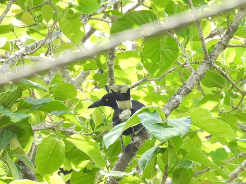
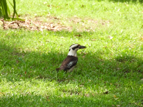
Research-grade observations from iNaturalist (within ~15 mi).
Events
Gallery
Official Identifiers
ABS — Australian Bureau of Statistics
- ASGS 2021
- SAL32321
- Population (Wikidata)
- 343
- Wikidata
- Q7194872
ASGS 2021 ID via Wikidata P10112
Sources
- • Wikipedia
- • Wikidata
- • USGS Earthquake Catalog (global feed)
- • GBIF (Global Biodiversity Information Facility)
- • iNaturalist
- • Open-Meteo / sunrise-sunset.org
- • Wikipedia Pageviews API
- • ABS — Australian Bureau of Statistics — ASGS 2021 ID via Wikidata P10112