Browse / Australia / Tasmania / Plenty
Plenty
Tasmaniahamlet
Demographic figures from Australian Bureau of Statistics. Overview below cites Wikipedia and may reference a different year.
City facts
Overview
Plenty is a rural locality in the local government area (LGA) of Derwent Valley in the South-east LGA region of Tasmania. The locality is about 9 kilometres (5.6 mi) north-west of the town of New Norfolk. The 2016 census recorded a population of 93 for the state suburb of Plenty. It is a small locality and the name of a tributary river on the south side of the River Derwent in the Derwent Valley.
Read more on WikipediaHistory & geography
History
Plenty was gazetted as a locality in 1959. River Plenty Post Office opened on 27 March 1869, was renamed Plenty in 1895 and closed in 1956. The town is notable as it was the location of the first introductions of brown trout outside their native range when in 1864, 300 of 1500 brown trout eggs from the River Itchen survived a four-month voyage from Falmouth, Cornwall to Melbourne on the sailing ship Norfolk. By 1866, 171 young brown trout were surviving in a Plenty river hatchery. Thirty-eight young trout were released in the river in 1866. By 1868, the Plenty River hosted a self-sustaining population of brown trout which became a brood source for continued introduction of brown trout into Australian and New Zealand rivers. Atlantic salmon, although successfully reared in the Plenty river hatchery and introduced at the same time under the sponsorship of the Acclimatization Society of Victoria, failed to establish themselves in Tasmania or Australia.
Geography
The River Derwent forms the north-western and northern boundaries. The Plenty River forms a small part of the southern boundary before flowing through to the north.
Excerpted from the corresponding Wikipedia article (CC BY-SA).
Geography
Coordinates & boundaries from the US Census TIGER/Line shapefiles.
Climate
Air quality
Walkability
Amenities nearby
Wildlife & biodiversity
Most-observed species
- Forest RavenCorvus tasmanicus Mathews, 1912 · Aves1,365
- Gray FantailRhipidura albiscapa Gould, 1840 · Aves1,006
- Superb FairywrenMalurus cyaneus (Ellis, 1782) · Aves1,001
- Green RosellaPlatycercus caledonicus (Gmelin, 1788) · Aves830
- Masked LapwingVanellus miles (Boddaert, 1783) · Aves775
- Tasmanian ThornbillAcanthiza ewingii Gould, 1844 · Aves769
- Tasmanian ScrubwrenSericornis humilis Gould, 1838 · Aves763
- Black CurrawongStrepera fuliginosa (Gould, 1837) · Aves721
Citizen-science & research observations from the Global Biodiversity Information Facility (GBIF).
Earthquake history
Most recent
- M 4.7 — 2002-06-1546 km NNE of Bagdad, Australia
Events from the USGS Earthquake Catalog (global) (FDSN Event Web Service).
Photos
Sights & places nearby
Notable people from here
Nearby places in Tasmania
Geography & sun
Elevation, sunrise/sunset and daylight from Open-Meteo. Solar climatology from NASA POWER.
Nearby airports
Public attention
Pageview totals from the Wikimedia Pageviews API.
Books about this place
Recent natural events nearby
Ground air-quality sensors
Recently spotted species
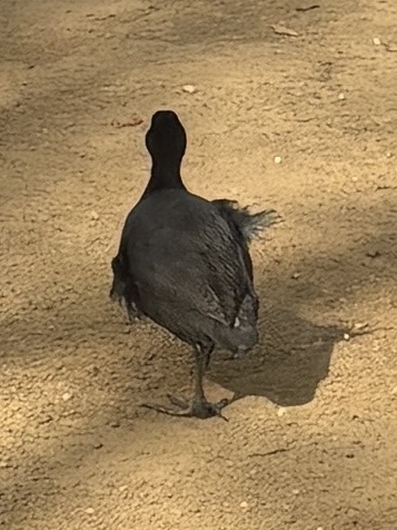
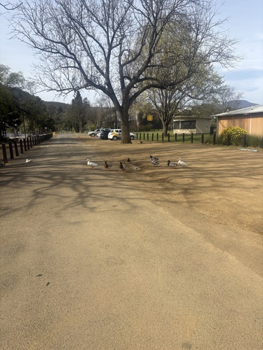
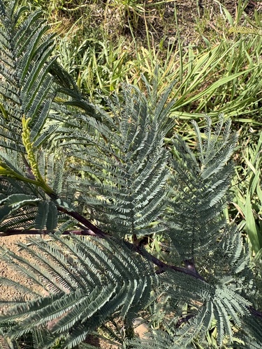
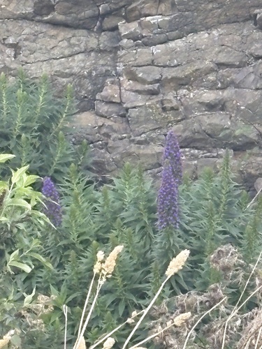
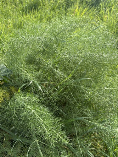
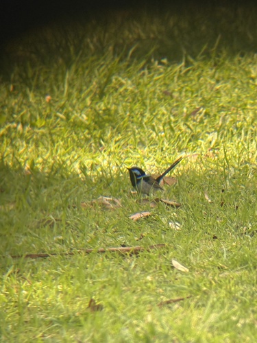
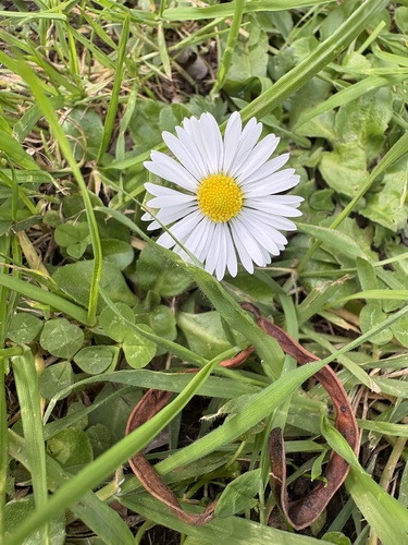
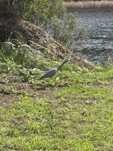
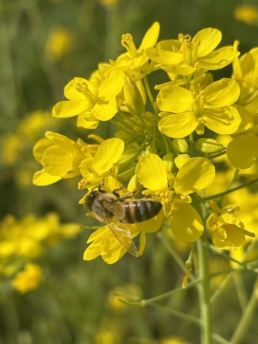
Research-grade observations from iNaturalist (within ~15 mi).
Events
Gallery
Sources
- • Wikipedia
- • USGS Earthquake Catalog (global feed)
- • GBIF (Global Biodiversity Information Facility)
- • iNaturalist
- • Open-Meteo / sunrise-sunset.org
- • Wikipedia Pageviews API