Browse / Australia / Western Australia / Porongurup
Porongurup
Western Australiahamlet

Porongurup
Demographic figures from Australian Bureau of Statistics. Overview below cites Wikipedia and may reference a different year.
City facts
Facts from Wikidata (CC0).
Overview
Porongurup is a locality of the Shire of Plantagenet in the Great Southern region of Western Australia. At the 2006 census, Porongurup had a population of 370. The name is derived from the Aboriginal place-name, and consequently arrived with no spelling as such. A common alternative spelling is Porongorup and while some maps still show this spelling, state government signs around the town use Porongurup, as does the promotion association for the region.
Read more on WikipediaHistory & geography
History
On 11 February 2007, a fire began on private property near the north-west corner of the national park, around west of the Porongurup village. The fire spread along the rear boundaries of several properties and into the national park. Fire crews helped prevent the fire spreading to nearby housing throughout Sunday night but on Monday afternoon (12 February) it jumped Porongurup-Mt Barker Road and spread into private property to the north-east of the village centre. One private residence and a number of farm sheds and buildings were destroyed and other buildings seriously damaged in the fire. Fire crews, including aerial support from six water bomber planes, battled the blaze and by Tuesday morning it was effectively under control. By Wednesday morning (14 February) the fire had burnt through around 95% of the national park and several farms and wineries showed the scars of the fire. It was reportedly the most devastating fire in the region since the 1960s. Less than a week after the fire began, a committee was formed to take charge of remedial work in the community and in a show of resilience, local wineries still held their annual wine festival a few weeks later. Despite the national park remaining closed to visitors, the annual Art in the Park exhibition was allowed to go ahead in early April. Sections of the park, including the Castle Rock walk trail and the Tree in The Rock picnic area, were reopened to the general public in September 2007.
Excerpted from the corresponding Wikipedia article (CC BY-SA).
Geography
Coordinates & boundaries from the US Census TIGER/Line shapefiles.
Climate
Air quality
Walkability
Amenities nearby
Wildlife & biodiversity
Earthquake history
Photos
Sights & places nearby
Notable people from here
Nearby places in Western Australia
- Kendenup19.4 mi away · pop. 422
- Redmond19.6 mi away · pop. 205
- Manypeaks20.2 mi away · pop. 150
- Tenterden27.6 mi away · pop. 224
- Youngs Siding32.3 mi away
- Tambellup44.8 mi away · pop. 281
- Rocky Gully51.2 mi away · pop. 98
- Peaceful Bay60.8 mi away · pop. 69
- Walpole69.5 mi away · pop. 336
- Jerramungup76.7 mi away · pop. 265
- Dumbleyung93.2 mi away · pop. 238
- Wagin98.4 mi away · pop. 1,311
Geography & sun
Nearby airports
Public attention
Books about this place
Recent natural events nearby
Ground air-quality sensors
Recently spotted species
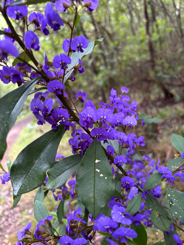
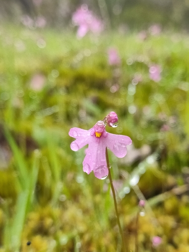
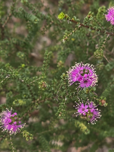
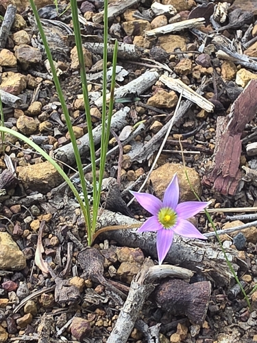
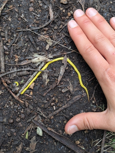
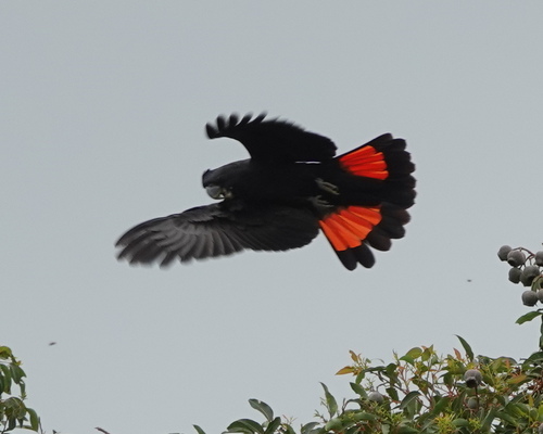
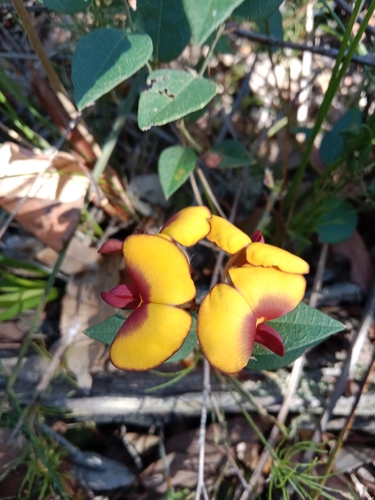
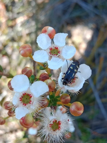
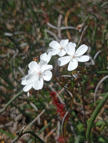
Research-grade observations from iNaturalist (within ~15 mi).
Events
Gallery
Official Identifiers
ABS — Australian Bureau of Statistics
- ASGS 2021
- SAL51256
- Population (Wikidata)
- 290
- Wikidata
- Q55819362
ASGS 2021 ID via Wikidata P10112
Sources
- • Wikipedia
- • Wikidata
- • iNaturalist
- • ABS — Australian Bureau of Statistics — ASGS 2021 ID via Wikidata P10112