Browse / Australia / South Australia / Port Lincoln
Port Lincoln
South Australiatown

Port Lincoln
Total population
14,404
Demographic figures from Australian Bureau of Statistics. Overview below cites Wikipedia and may reference a different year.
City facts
Sister cities
Facts from Wikidata (CC0).
Overview
Port Lincoln is a city on the Lower Eyre Peninsula in the Australian state of South Australia. Known as Galinyala by the Barngarla people who hold native title rights, it is situated on the shore of Boston Bay, which opens eastward into Spencer Gulf. It is the largest city in the West Coast region, and is located approximately 280 km (170 mi) from the state's capital city of Adelaide.
Read more on WikipediaHistory & geography
Geography
Port Lincoln has a contrasting coastal landscape, ranging from sheltered waters and beaches, to surf beaches and rugged oceanic coastline. The Great South Australian Coastal Upwelling System brings cold, nutrient-rich water into nearby waters of the Great Australian Bight and Spencer Gulf. These upwellings support lucrative fisheries, including that of the southern bluefin tuna and sardine. Port Lincoln has a warm-summer Mediterranean climate (Köppen: Csb). The climate is highly variable due to the town's position between the Outback and Southern Ocean. Summers alternate between frequent southerly sea breezes (keeping maxima under ), with occasional northerly heatwaves (that raise the temperature to well over ). Meanwhile, winters are cool and cloudy, with frequent drizzle, showers and cold fronts, albeit with frost being very rare. There is moderate seasonal temperature variation and seasonal lag, with average maxima ranging from in January to in July, while average minima vary from in February to in August. Average annual rainfall is rather low, , occurring within 127.1 rainfall days, and the wettest month on record was in June 1981. Despite the low intensity of rainfall: there are 154.5 cloudy days and only 57.2 clear days annually. Extreme temperatures have ranged from on 16 July 2016 to on 24 January 2019.
Excerpted from the corresponding Wikipedia article (CC BY-SA).
Geography
Coordinates & boundaries from the US Census TIGER/Line shapefiles.
Climate
Air quality
Walkability
Amenities nearby
Wildlife & biodiversity
Earthquake history
Most recent
- M 3.2 — 2003-05-2757 km SSW of Port Lincoln, Australia
- M 2.8 — 2002-11-0833 km N of Tumby Bay, Australia
Events from the USGS Earthquake Catalog (global) (FDSN Event Web Service).
Photos
Sights & places nearby
Notable people from here


People born within ~10 km, from Wikidata (CC0). Click any name for their Wikipedia article.
Nearby places in South Australia
- Tulka6.1 mi away · pop. 122
- Akenta11.5 mi away · pop. 15
- Edillilie23.1 mi away · pop. 41
- Coffin Bay23.5 mi away · pop. 667
- Whalers Bay26.8 mi away
- Coulta32.1 mi away · pop. 45
- Cummins32.5 mi away · pop. 748
- Lipson33.7 mi away · pop. 51
- Warrow34.7 mi away
- Cockaleechie35.3 mi away
- Ungarra38.9 mi away · pop. 52
- Port Neill50.1 mi away · pop. 154
Geography & sun
Elevation, sunrise/sunset and daylight from Open-Meteo. Solar climatology from NASA POWER.
Nearby airports
Public attention
Pageview totals from the Wikimedia Pageviews API.
Books about Port Lincoln
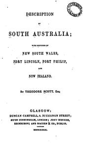

Search results from Open Library.
Recent natural events nearby
Ground air-quality sensors
Recently spotted species
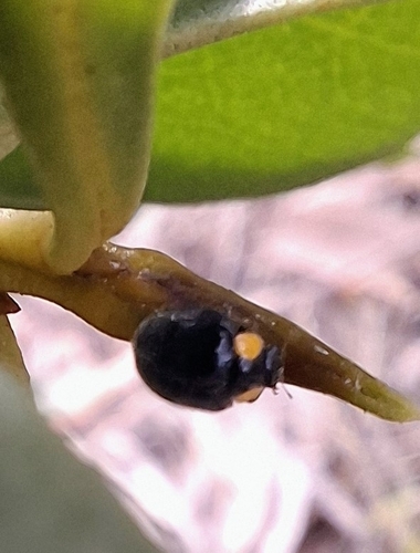
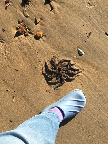
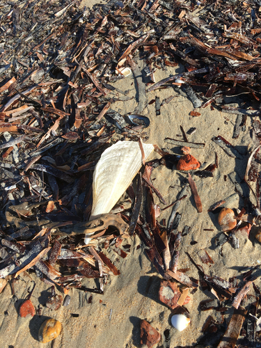
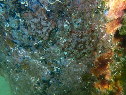
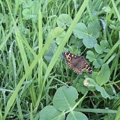
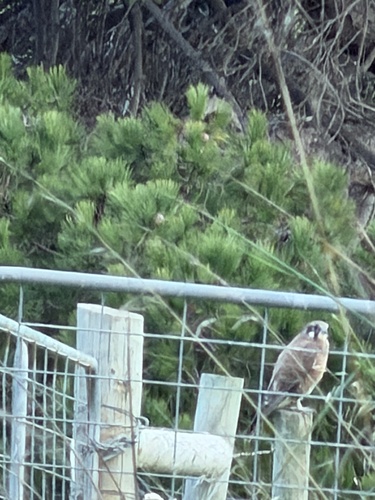
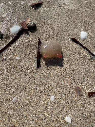
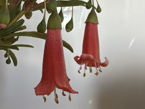
Research-grade observations from iNaturalist (within ~15 mi).
Events
Gallery
Geotagged photos within ~6 miles of Port Lincoln, from Wikimedia Commons contributors.
 0.1 mi
 0.1 mi
 0.1 mi
.jpg) 0.1 mi
0.1 mi.jpg) 0.1 mi
0.1 mi.jpg) 0.1 mi
0.1 mi.jpg) 0.1 mi
0.1 mi.jpg) 0.1 mi
0.1 mi_and_Seconds_(the_Ramp)_(22514168095).jpg) 0.1 mi
0.1 mi.jpg) 0.1 mi
0.1 mi.jpg) 0.1 mi
0.1 mi.jpg) 0.1 mi
0.1 mi.jpg) 0.1 mi
0.1 mi.jpg) 0.1 mi
0.1 mi 0.1 mi
 0.1 mi
 0.1 mi
 0.1 mi
 0.2 mi
 0.2 mi
 0.2 mi
.jpg) 0.2 mi
0.2 mi.jpg) 0.2 mi
0.2 mi.jpg) 0.2 mi
0.2 miPhotos via Wikimedia Commons — see each image page for license & attribution.
Sources
- • Wikipedia
- • Wikimedia Commons
- • Wikidata
- • USGS Earthquake Catalog (global feed)
- • iNaturalist
- • Open-Meteo / sunrise-sunset.org
- • Wikipedia Pageviews API
- • Open Library