Browse / Australia / New South Wales / Port Macquarie
Port Macquarie
New South Walescity

Port Macquarie
Total population
47,793
Air quality index
Demographic figures from Australian Bureau of Statistics. Overview below cites Wikipedia and may reference a different year.
City facts
Sister cities
Facts from Wikidata (CC0).
Overview
Port Macquarie, sometimes shortened to Port Mac and commonly locally nicknamed Port, is a coastal city on the Mid North Coast of New South Wales, Australia, 390 km (242 mi) north of Sydney, and 570 km (354 mi) south of Brisbane, on the Tasman Sea coast at the mouth of the Hastings River, and the eastern end of the Oxley Highway (B56). It had a population of 47,974 in 2018, and an estimated population of 51,965 in 2023.
Read more on WikipediaHistory & geography
History
Port Macquarie sits within Birpai (Biripi, Bripi, Biripai, Birrbay) country, and the Birpai people are recognised as the traditional custodians of the land on which Port Macquarie is located. Port Macquarie was long known to the Birpai people as Guruk. The Birpai Local Aboriginal Land Council provides positive support, information and responsible governance for the Aboriginal community, while also cultivating strong links with the broader community. Before British colonisation, large clans of Birpai people resided in and around Port Macquarie, particularly at places such as King's Creek, Blackman's Point, Camden Haven and Rolland's Plains. They lived in large domed huts which provided protection against the region's heavy rains and were capable of accommodating up to ten people. Oxley noted that "the natives in the vicinity of the port appeared very numerous...were all handsome, well-made men, stout in their persons, and showing evident signs of good living...were evidently acquainted with the use of firearms...their dread of its appearance", and that "the port abounds with fish, the sharks were larger and more numerous than I have ever before observed...the forest hills and rising grounds abounded with large kangaroos and the marshes afford shelter and support to innumerable wildfowl. Independent of the Hastings River, the area is generally well watered, there is a fine spring at the very entrance to the Port." * Captain Francis Allman, April 1821 – April 1824 * Captain John Rolland, April 1824 – November 1824 * Lieutenant George Carmac, November 1824 – December 1824 * Captain Henry Gillman, January 1825 – February 1826 * Captain Samuel Wright, February 1826 – November 1826 * Captain Archibald Clunes Innes, November 1826 – April 1827 * Lieutenant Thomas Owen, April…
Excerpted from the corresponding Wikipedia article (CC BY-SA).
Geography
Coordinates & boundaries from the US Census TIGER/Line shapefiles.
Climate
10-year averages from ERA5 reanalysis (Open-Meteo).
Air quality
Current readings from Open-Meteo Air Quality API (Copernicus CAMS European reanalysis).
Walkability
Amenities nearby
Wildlife & biodiversity
Most-observed species
- Rainbow LorikeetTrichoglossus haematodus (Linnaeus, 1771) · Aves6,403
- Australian MagpieGymnorhina tibicen (Latham, 1802) · Aves4,700
- koalaPhascolarctos cinereus (Goldfuss, 1817) · Mammalia4,658
- Laughing KookaburraDacelo novaeguineae (Hermann, 1783) · Aves4,154
- Lewin's HoneyeaterMeliphaga lewinii (Swainson, 1837) · Aves4,099
- Noisy MinerManorina melanocephala (Latham, 1801) · Aves3,855
- Little WattlebirdAnthochaera chrysoptera (Latham, 1801) · Aves3,793
- Magpie-larkGrallina cyanoleuca (Latham, 1802) · Aves3,686
Citizen-science & research observations from the Global Biodiversity Information Facility (GBIF).
Earthquake history
Events from the USGS Earthquake Catalog (global) (FDSN Event Web Service).
Photos
Sights & places nearby
Notable people from here


People born within ~10 km, from Wikidata (CC0). Click any name for their Wikipedia article.
Nearby places in New South Wales
Geography & sun
Elevation, sunrise/sunset and daylight from Open-Meteo. Solar climatology from NASA POWER.
Nearby airports
Public attention
Pageview totals from the Wikimedia Pageviews API.
Books about Port Macquarie


Search results from Open Library.
Recent natural events nearby
Ground air-quality sensors
Recently spotted species
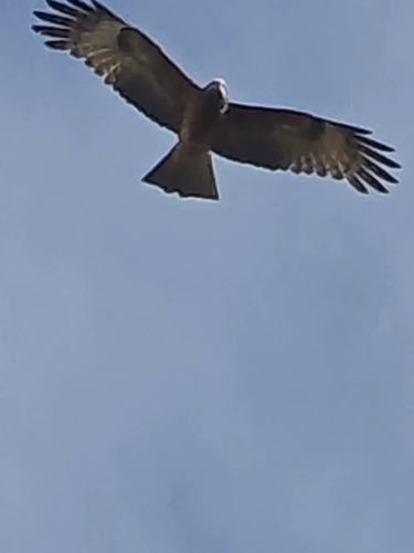
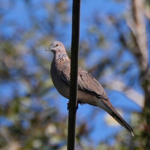
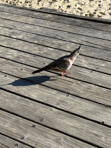
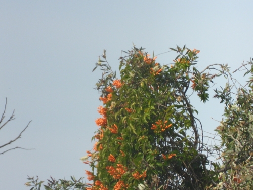
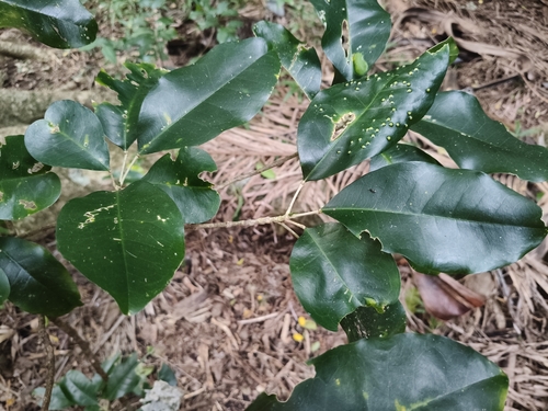
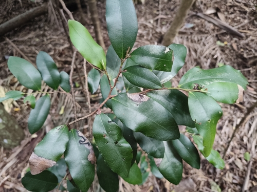
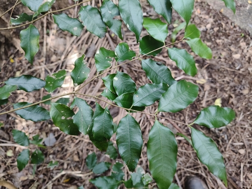
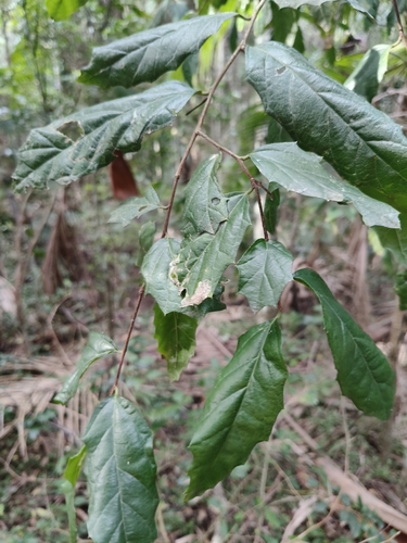
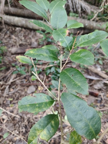
Research-grade observations from iNaturalist (within ~15 mi).
Events
Gallery
Geotagged photos within ~6 miles of Port Macquarie, from Wikimedia Commons contributors.
.jpg) 0.1 mi
0.1 mi.jpg) 0.1 mi
0.1 mi 0.1 mi
 0.1 mi
 0.1 mi
 0.1 mi
 0.1 mi
 0.1 mi
 0.1 mi
 0.1 mi
 0.1 mi
 0.1 mi
 0.1 mi
 0.1 mi
 0.1 mi
 0.1 mi
 0.1 mi
 0.1 mi
 0.2 mi
 0.2 mi
_-_Sunday,_29th_September_2008_-_panoramio.jpg) 0.2 mi
0.2 mi_-_Sunday,_29th_September_2008_-_panoramio.jpg) 0.2 mi
0.2 mi 0.2 mi
_-_panoramio.jpg) 0.2 mi
0.2 miPhotos via Wikimedia Commons — see each image page for license & attribution.
Sources
- • Wikipedia
- • Open-Meteo (ERA5 reanalysis)
- • Wikimedia Commons
- • Wikidata
- • Open-Meteo Air Quality (CAMS)
- • USGS Earthquake Catalog (global feed)
- • GBIF (Global Biodiversity Information Facility)
- • iNaturalist
- • Open-Elevation
- • Open-Meteo / sunrise-sunset.org
- • Wikipedia Pageviews API
- • Open Library