Browse / Australia / Queensland / Proserpine
Proserpine
Queenslandtown

Proserpine
Total population
3,440
Founded
1880
Demographic figures from Australian Bureau of Statistics. Overview below cites Wikipedia and may reference a different year.
City facts
Facts from Wikidata (CC0).
Overview
Proserpine is a town and locality in the Whitsunday Region, Queensland, Australia. In the 2021 census, the locality of Proserpine had a population of 3,614 people.
Read more on WikipediaHistory & geography
History
The Gia people are the traditional custodians of the Proserpine area. Giya (also known as Kia) is a language of North Queensland. The Giya language region includes the landscape within the local government boundaries of the Whitsunday Regional Council, particularly the towns of Bowen and Proserpine. It has been claimed that George Elphinstone Dalrymple named the Proserpine River on an expedition in 1859, but has also been claimed that the first use of the name was in August 1861 when the Emmerson family applied for a tenure over the Proserpine Creek run. The name Proserpine derives from the Roman goddess Proserpina, who also appears in Greek mythology as Persephone. The first British colonists arrived in the early 1860s with Daniel Emmerson forming the Proserpine pastoral station. Frederick Bode and William Dangar took up land at Bromby Park and Goorganga Creek, while Charles Bradley and James Colling established properties along the Gregory River. conducted patrols through the Proserpine area. Following a large number of cattle being killed by Aboriginal people, the native police dispersed around six "large mobs" of Aboriginal people during this mission. Marlow used Daniel Emmerson's property for his stock-yard and bought horses from him. The Crystal Brook Sugar Company was formed in 1882 and established a sugar industry in the region a year later. A sugar mill was built and the labouring on the plantation was performed by imported South Sea Islanders. In 1893 the plantation, which was located at Glen Isla close to the present Proserpine township, was closed and smaller sugar farms run by white owner-operators were established. In 1937, the school was expanded to include a High Top to offer secondary schooling beyond Year 8. In 1946, the Windermere school building…
Geography
Proserpine is situated on the Bruce Highway. Proserpine is located on the North Coast line with Proserpine railway station located in Hinschen Street in the town centre. Proserpine is locally governed by Whitsunday Regional Council, a product of amalgamation of the former Shire of Whitsunday with the former Shire of Bowen. Proserpine is situated within the Queensland electorate of Whitsunday, and the federal electorate of Dawson.
Excerpted from the corresponding Wikipedia article (CC BY-SA).
Geography
Coordinates & boundaries from the US Census TIGER/Line shapefiles.
Climate
Air quality
Walkability
Amenities nearby
Wildlife & biodiversity
Most-observed species
- Australasian FigbirdSphecotheres vieilloti Vigors & Horsfield, 1827 · Aves414
- Masked LapwingVanellus miles (Boddaert, 1783) · Aves398
- Sulphur-crested CockatooCacatua galerita (Latham, 1790) · Aves392
- Rainbow LorikeetTrichoglossus haematodus (Linnaeus, 1771) · Aves385
- Silver GullChroicocephalus novaehollandiae (Stephens, 1826) · Aves340
- Magpie-larkGrallina cyanoleuca (Latham, 1802) · Aves312
- Peaceful DoveGeopelia placida Gould, 1844 · Aves310
- Welcome SwallowHirundo neoxena Gould, 1842 · Aves274
Citizen-science & research observations from the Global Biodiversity Information Facility (GBIF).
Earthquake history
Most recent
- M 5 — 2020-04-1532 km NNW of Whitsundays, Australia
- M 4.3 — 2016-08-1850 km N of Whitsundays, Australia
- M 4 — 2016-08-1843 km N of Whitsundays, Australia
- M 5.7 — 2016-08-1837 km NNW of Whitsundays, Australia
- M 4 — 2011-04-1645 km NNW of Collinsville, Australia
- M 5 — 2011-04-16Queensland, Australia
Events from the USGS Earthquake Catalog (global) (FDSN Event Web Service).
Photos
Sights & places nearby
Notable people from here


People born within ~10 km, from Wikidata (CC0). Click any name for their Wikipedia article.
Nearby places in Queensland
- Wilson Beach10.5 mi away
- Amelia Vale Homestead16.1 mi away
- Shannonvale Homestead23.9 mi away
- Roma Peak Homestead24.6 mi away
- Mount Crompton Homestead26.4 mi away
- Hayman Island30.5 mi away
- Rise and Shine34.2 mi away
- Sutherland Homestead36.1 mi away
- Mount Buckley36.3 mi away
- Camerons Pocket38.9 mi away
- Moss Vale Homestead39.2 mi away
- Urannah Homestead39.4 mi away
Geography & sun
Elevation, sunrise/sunset and daylight from Open-Meteo. Solar climatology from NASA POWER.
Nearby airports
Public attention
Pageview totals from the Wikimedia Pageviews API.
Books about Proserpine

Search results from Open Library.
Recent natural events nearby
Ground air-quality sensors
Recently spotted species
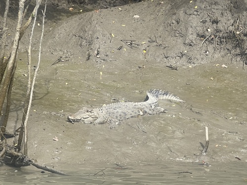
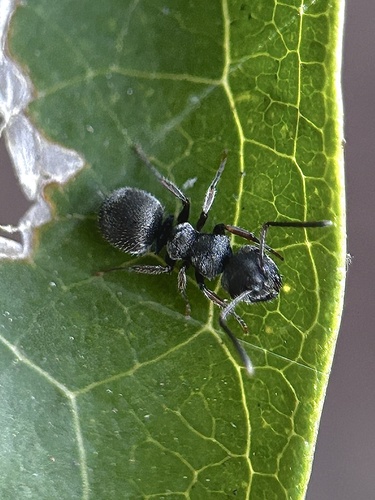
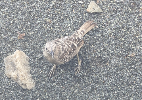
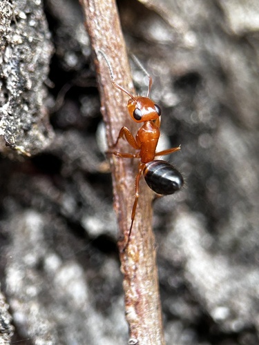
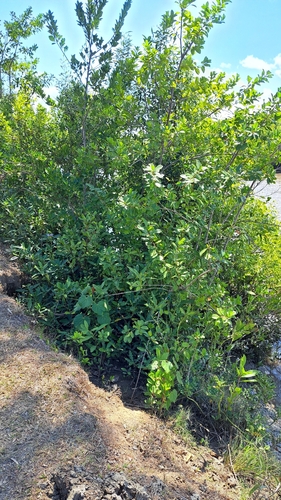
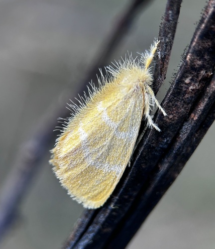
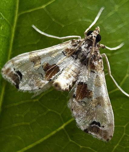
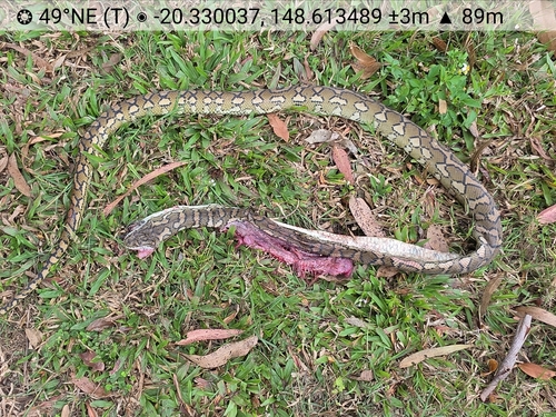
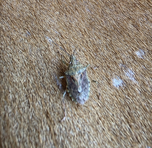
Research-grade observations from iNaturalist (within ~15 mi).
Events
Gallery
Sources
- • Wikipedia
- • Wikidata
- • USGS Earthquake Catalog (global feed)
- • GBIF (Global Biodiversity Information Facility)
- • iNaturalist
- • Open-Meteo / sunrise-sunset.org
- • Wikipedia Pageviews API
- • Open Library