Browse / Australia / Victoria / Pyramid Hill
Pyramid Hill
Victoriatown

Pyramid Hill
Total population
475
Demographic figures from Australian Bureau of Statistics. Overview below cites Wikipedia and may reference a different year.
City facts
Overview
Pyramid Hill is a town in the Shire of Loddon, Victoria, Australia, between Bendigo and Kerang. As of the 2021 census, it had a population of 598. The town, which is named for a nearby hill, has walking trails and historic Art Deco architecture.
Read more on WikipediaHistory & geography
History
Pyramid Hill is on the traditional lands of the Barapa Barapa. On 28 June 1836, Thomas Mitchell, Surveyor-General of New South Wales, spied a granite hill from Mount Hope while he was out exploring what he termed "Australia Felix", the rich plains of what is now western Victoria. It rises above sea level. His party camped at that hill's foot the next day. Mitchell, the first non-Indigenous person to see the area, named the triangular rise Pyramid Hill. He wrote that, "being quite isolated, it closely resembled the monuments of Egypt." The town is named after a nearby hill that rises 180 metres above sea level. Originally the town was situated at the base of Pyramid Hill, but was relocated when the railway station was built. The Post Office opened on 17 November 1875. The railway arrived in 1884.
Excerpted from the corresponding Wikipedia article (CC BY-SA).
Geography
Coordinates & boundaries from the US Census TIGER/Line shapefiles.
Climate
Air quality
Walkability
Amenities nearby
Wildlife & biodiversity
Most-observed species
- GalahEolophus roseicapilla (Vieillot, 1817) · Aves1,682
- Australian MagpieGymnorhina tibicen (Latham, 1802) · Aves1,610
- Red-rumped ParrotPsephotus haematonotus (Gould, 1838) · Aves1,594
- Willie-wagtailRhipidura leucophrys (Latham, 1802) · Aves1,536
- White-plumed HoneyeaterPtilotula penicillata (Gould, 1837) · Aves1,430
- Brown TreecreeperClimacteris picumnus Temminck, 1824 · Aves1,358
- Superb FairywrenMalurus cyaneus (Ellis, 1782) · Aves1,112
- Tree MartinPetrochelidon nigricans (Vieillot, 1817) · Aves974
Citizen-science & research observations from the Global Biodiversity Information Facility (GBIF).
Earthquake history
Most recent
- M 3 — 2018-07-2318 km S of Cohuna, Australia
- M 3 — 2010-05-268 km E of Rochester, Australia
- M 2.7 — 2007-12-0938 km SE of Charlton, Australia
- M 3.6 — 2003-12-2940 km WNW of Deniliquin, Australia
- M 2.5 — 2002-08-0910 km ESE of Kyabram, Australia
- M 2.9 — 2002-04-1945 km N of Charlton, Australia
Events from the USGS Earthquake Catalog (global) (FDSN Event Web Service).
Photos
Sights & places nearby
Notable people from here


People born within ~10 km, from Wikidata (CC0). Click any name for their Wikipedia article.
Nearby places in Victoria
Geography & sun
Elevation, sunrise/sunset and daylight from Open-Meteo. Solar climatology from NASA POWER.
Nearby airports
Public attention
Pageview totals from the Wikimedia Pageviews API.
Books about this place
Recent natural events nearby
Ground air-quality sensors
Recently spotted species
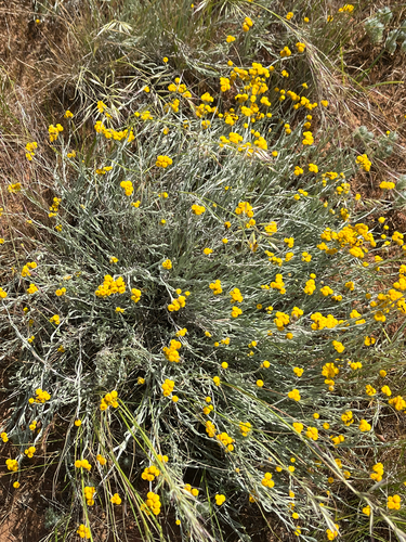
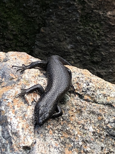
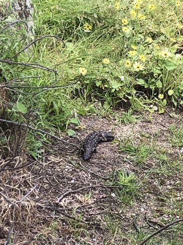
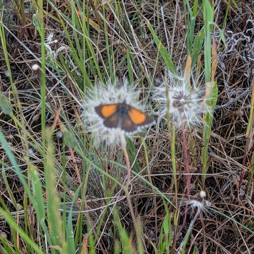
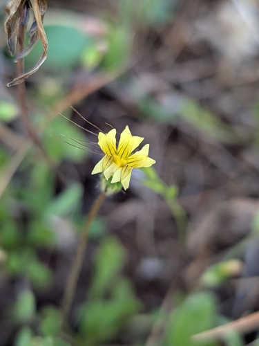
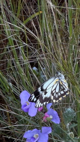
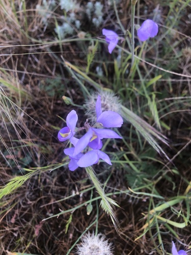
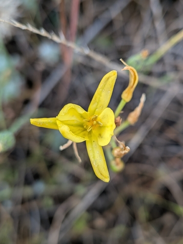
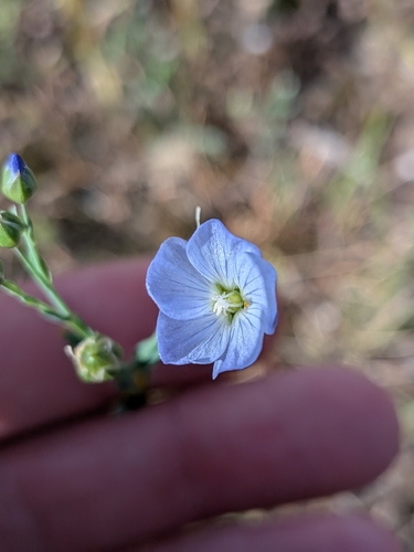
Research-grade observations from iNaturalist (within ~15 mi).
Events
Gallery
Sources
- • Wikipedia
- • Wikidata
- • USGS Earthquake Catalog (global feed)
- • GBIF (Global Biodiversity Information Facility)
- • iNaturalist
- • Open-Meteo / sunrise-sunset.org
- • Wikipedia Pageviews API