Browse / Australia / Victoria / Rainbow
Rainbow
Victoriatown

Rainbow
Total population
487
Demographic figures from Australian Bureau of Statistics. Overview below cites Wikipedia and may reference a different year.
City facts
Overview
Rainbow is a town in the Shire of Hindmarsh in northwest Victoria, Australia, 400 kilometres (250 mi) from Melbourne. The nearest large towns are Warracknabeal, Dimboola and Nhill, all to the south. At the 2021 census, Rainbow had a population of 672.
Read more on WikipediaHistory & geography
History
In 1899 the railway line was extended from Jeparit to a projected town site, Rainbow Rise, named after a sand lunette covered with wildflowers in the shape of a rainbow. A post office opened on 2 July 1900 and town blocks in Rainbow were sold in October 1900. By 1910 the township was referred to as the Metropolis of the Mallee. Robert Riby owned and operated the first newspaper in Rainbow. He married Mary Anne Palethorp. Rainbow was well known for its wheat. Silos still stand there and are visible from kilometres away. Many of the town's original settlers were of German descent, and came across country from South Australia. In its early years, names such as Strauss, Petschel, Bretag, Rogasch, Fischer, Schumann, Schulz, Kruger and Heinrich were common, as well as the English names Dunn, Wallis, Smith, Brown, Fisher and Small. The railway line transported wheat, other grains and passengers. In later years, it was used for freight only. The Rainbow Magistrates' Court closed on 1 January 1983. Rainbow was part of the Dimboola Shire until 25 January 1995, when the shire was united with the Lowan Shire. The town was the subject of an episode of the ABC television program Enough Rope, with Andrew Denton, on 31 July 2006.
Excerpted from the corresponding Wikipedia article (CC BY-SA).
Geography
Coordinates & boundaries from the US Census TIGER/Line shapefiles.
Climate
10-year averages from ERA5 reanalysis (Open-Meteo).
Air quality
Walkability
Amenities nearby
Wildlife & biodiversity
Most-observed species
- Australian MagpieGymnorhina tibicen (Latham, 1802) · Aves441
- GalahEolophus roseicapilla (Vieillot, 1817) · Aves316
- Willie-wagtailRhipidura leucophrys (Latham, 1802) · Aves249
- Red-rumped ParrotPsephotus haematonotus (Gould, 1838) · Aves232
- Crested PigeonOcyphaps lophotes (Temminck, 1822) · Aves226
- Singing HoneyeaterGavicalis virescens (Vieillot, 1817) · Aves226
- White-plumed HoneyeaterPtilotula penicillata (Gould, 1837) · Aves223
- Tree MartinPetrochelidon nigricans (Vieillot, 1817) · Aves183
Citizen-science & research observations from the Global Biodiversity Information Facility (GBIF).
Earthquake history
Most recent
- M 4.8 — 2021-10-08100 km NE of Keith, Australia
- M 3.4 — 2006-10-0183 km NE of Keith, Australia
Events from the USGS Earthquake Catalog (global) (FDSN Event Web Service).
Photos
Sights & places nearby
Notable people from here

People born within ~10 km, from Wikidata (CC0). Click any name for their Wikipedia article.
Nearby places in Victoria
Geography & sun
Elevation, sunrise/sunset and daylight from Open-Meteo. Solar climatology from NASA POWER.
Nearby airports
Public attention
Pageview totals from the Wikimedia Pageviews API.
Books about Rainbow
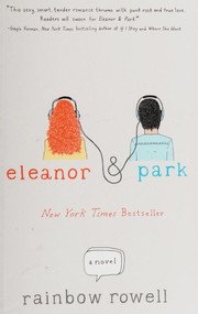

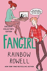

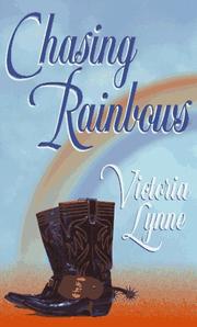
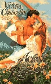
Search results from Open Library.
Recent natural events nearby
Ground air-quality sensors
Recently spotted species
Events
Gallery
Sources
- • Wikipedia
- • Open-Meteo (ERA5 reanalysis)
- • Wikidata
- • USGS Earthquake Catalog (global feed)
- • GBIF (Global Biodiversity Information Facility)
- • Open-Meteo / sunrise-sunset.org
- • Wikipedia Pageviews API
- • Open Library